| Photos from a December
Hike on Mount Tamalpais/Rock Spring Trailhead (click on any image for a larger view) |
|||||||
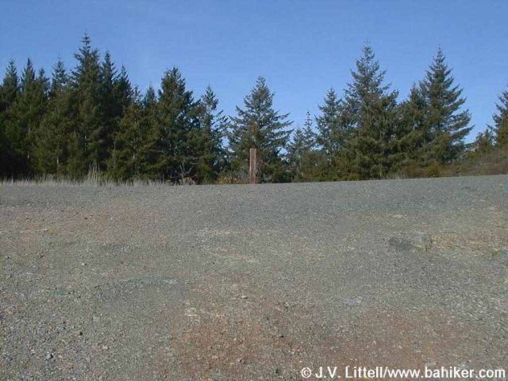
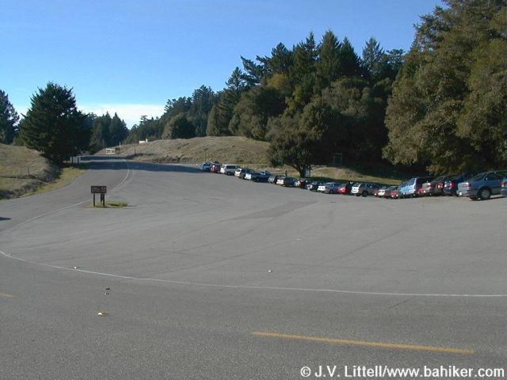 Parking lot at Rock Spring |
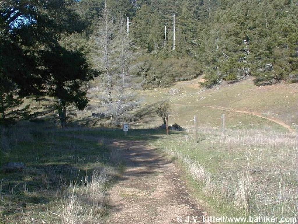
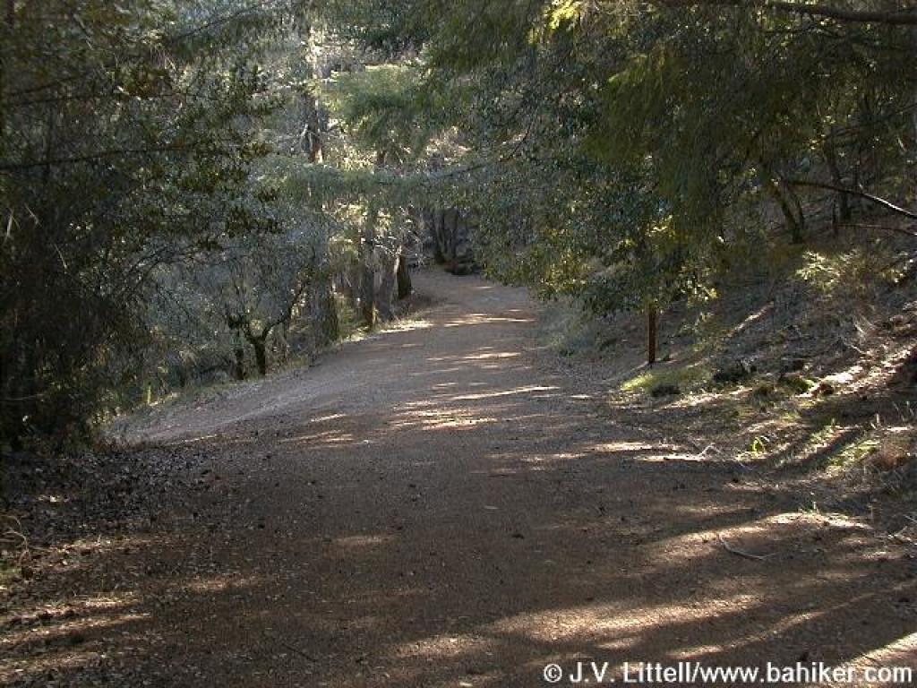
 Start of the trail |
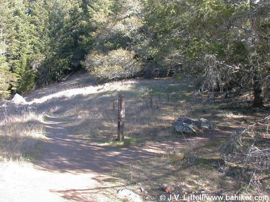
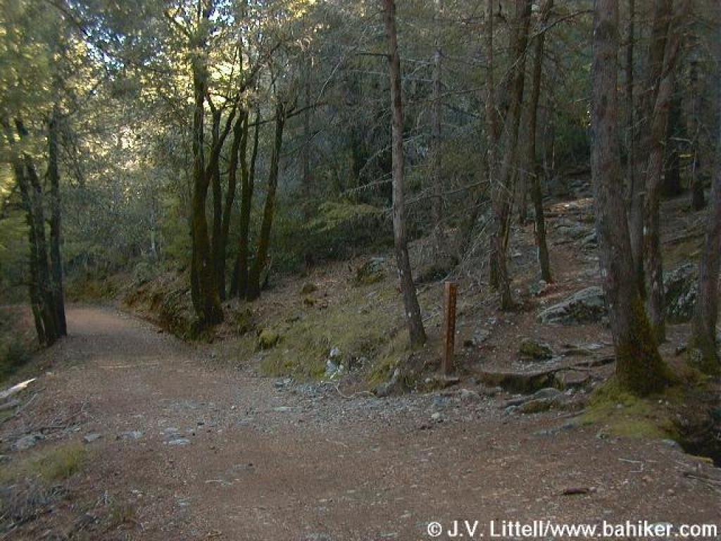
 Junction; bear right |
 Junction; bear left |
||||
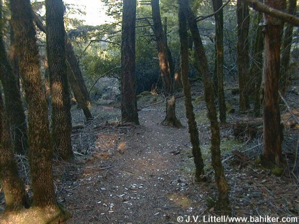
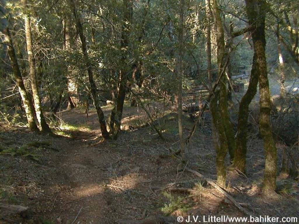
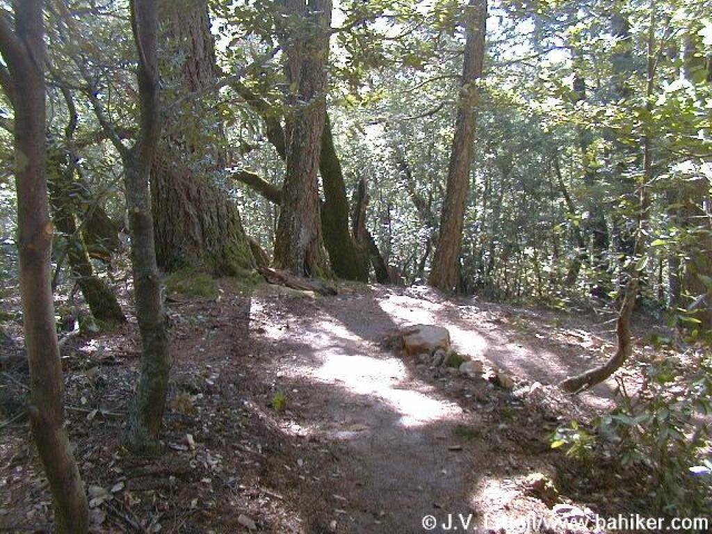
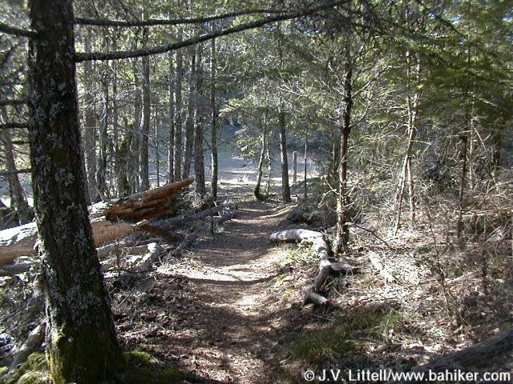
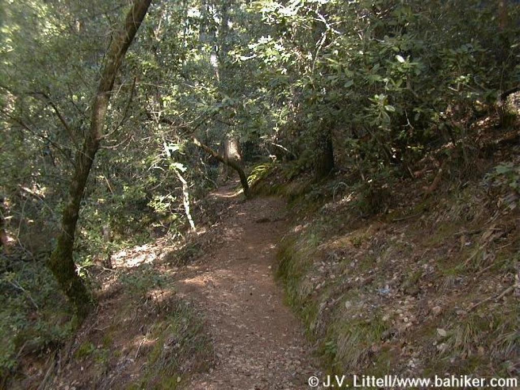 Through the woods on Simmons Trail |
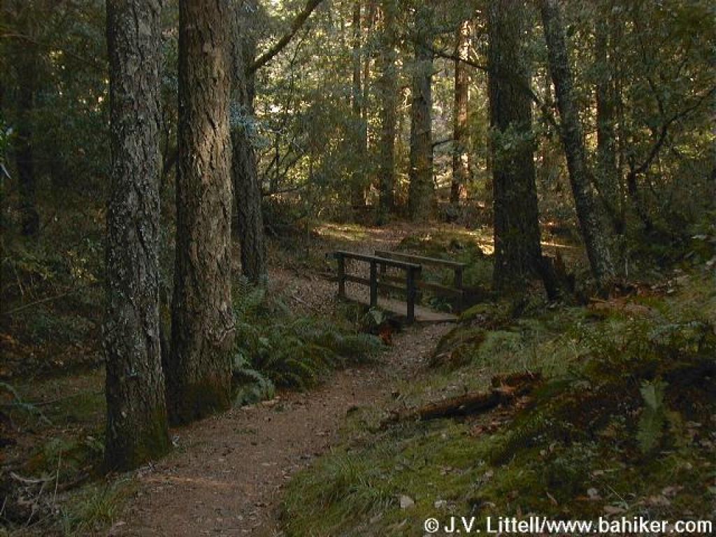 Stay to the left at the far end of the bridge |
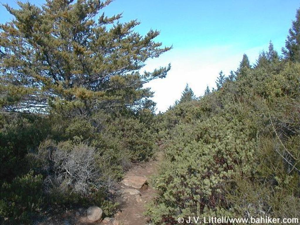
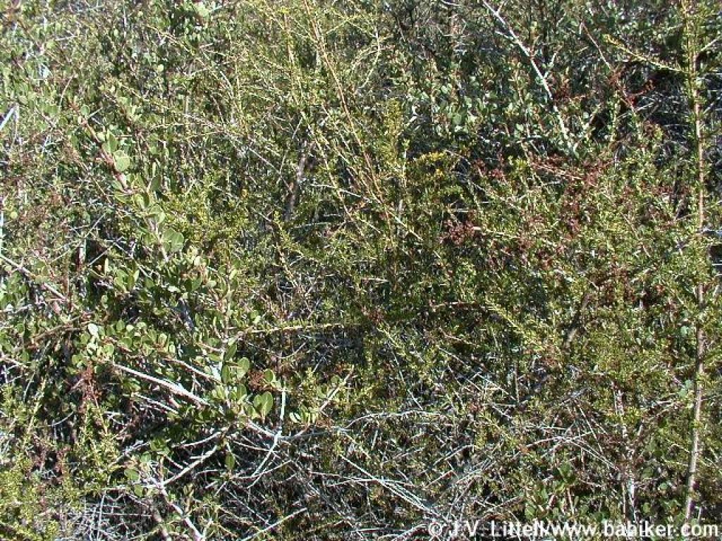 Simmons Trail emerges into chaparral, dominated by chamise and ceanothus |
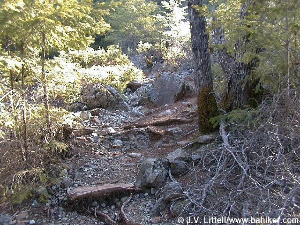
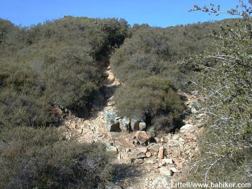 Trail resembles a rain runoff channel carved into the rock |
||||
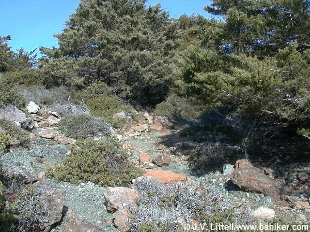 Simmons Trail passes through serpentine rock |
 Vegetation shifts to manzanita |
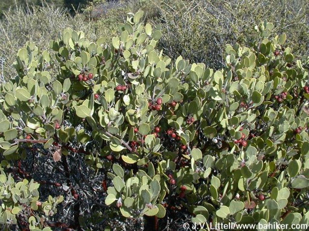 Manzanita |
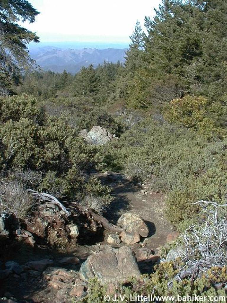 View north |
||||
 Short stretch of woods |
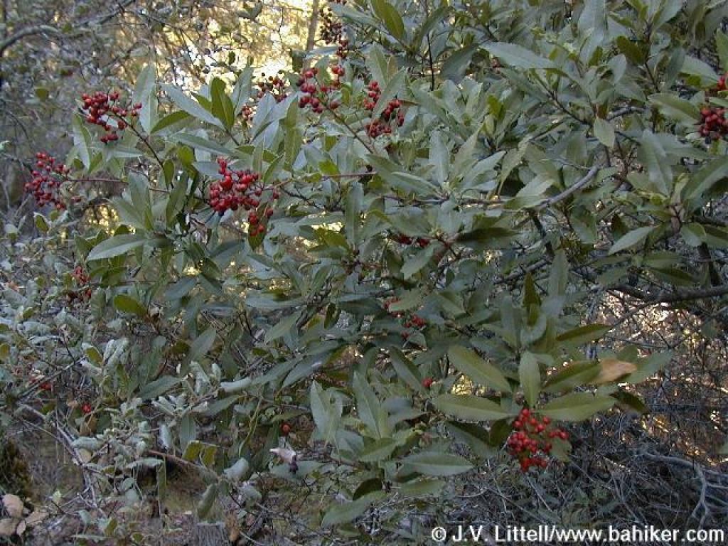 Toyon |
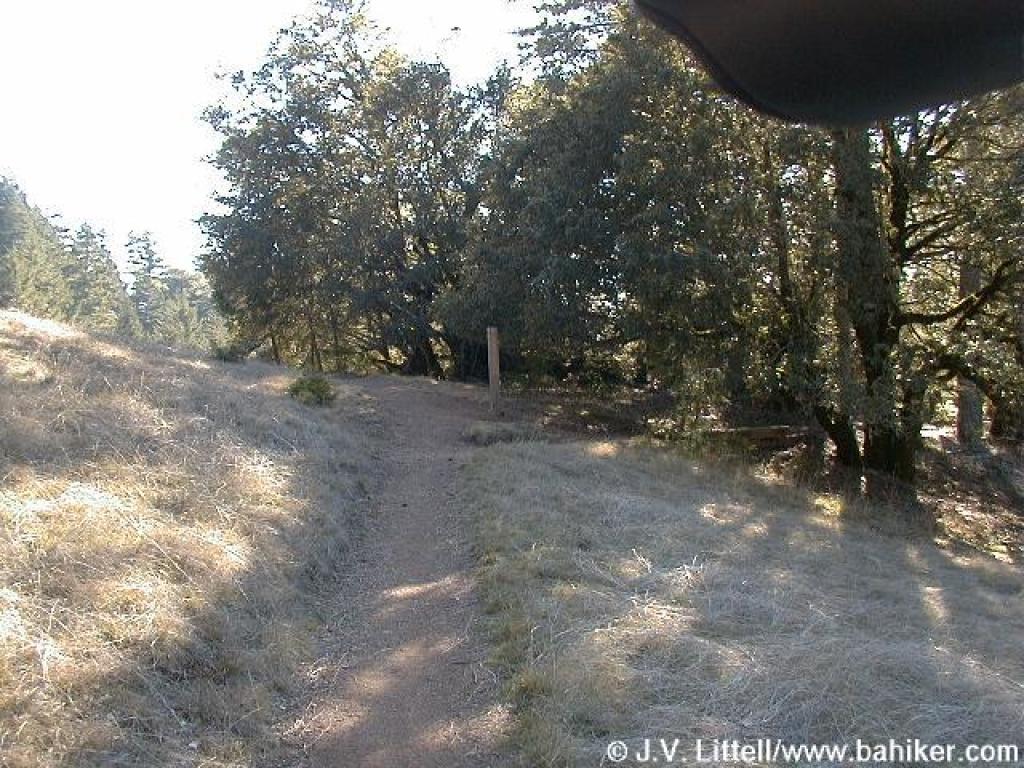
 Transition |
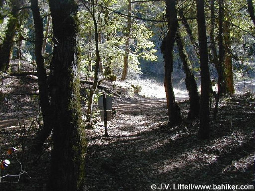
 Approaching junction near Barth's Retreat |
||||
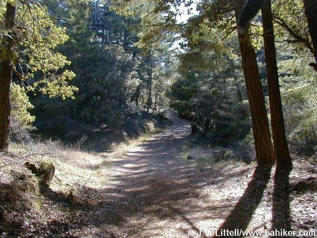
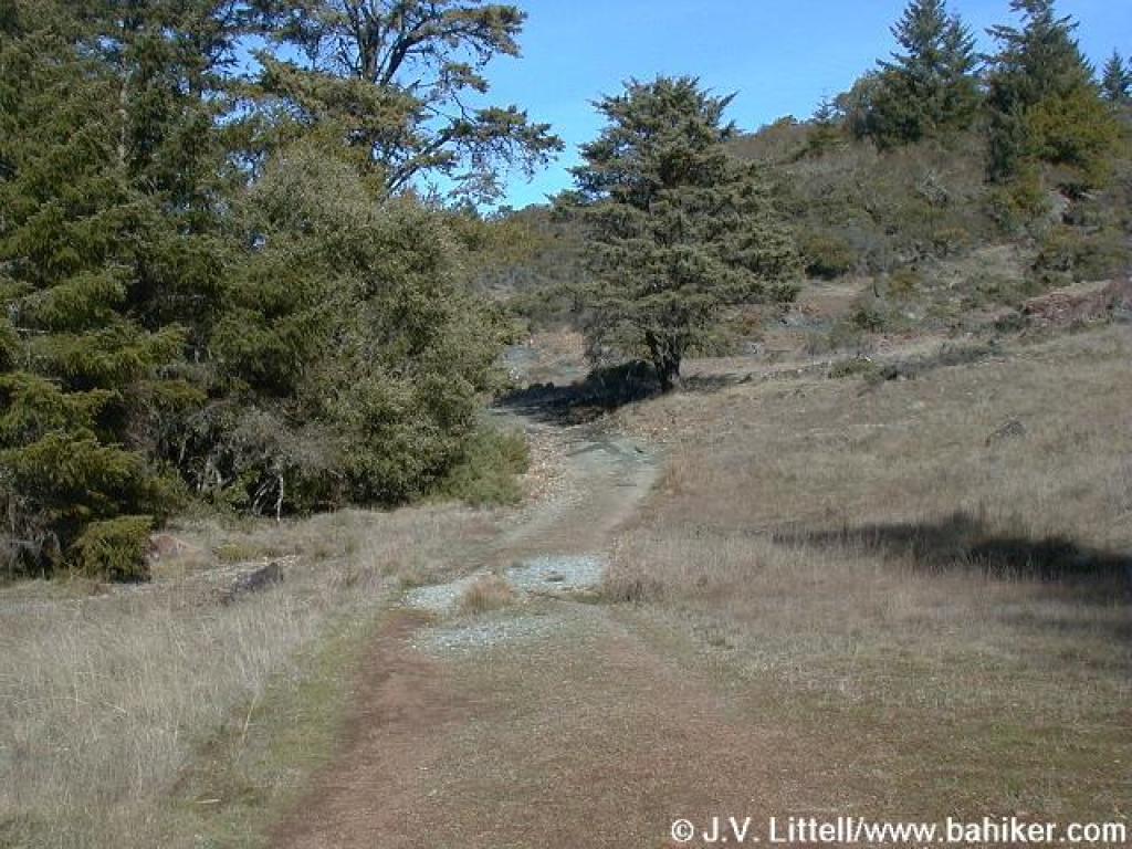 The road out of Barth's Retreat is wide and lined with toyon and oaks |
 Junction with Laurel Dell Fire Road |
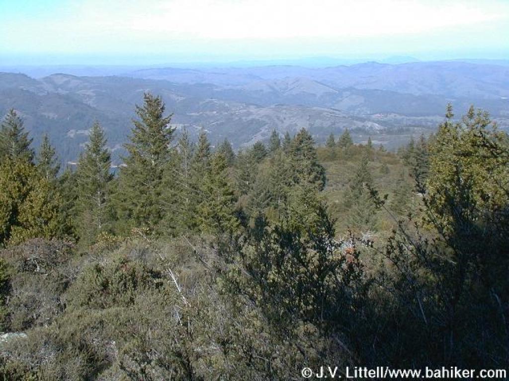 Fire Road reveals great views north, sometimes all the way to Mt. St. Helena |
 Junction with path to Potrero Meadows; continue straight |
||||
 Junction with Benstein Trail |
 Benstein Trail |
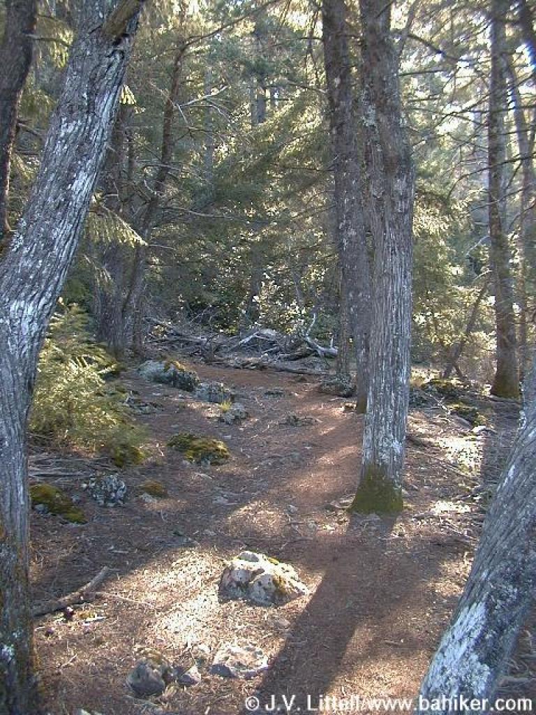
 Trail is rocky and hard to follow in places |
 Benstein Trail |
||||
 Tanoak |
 Chinquapins |
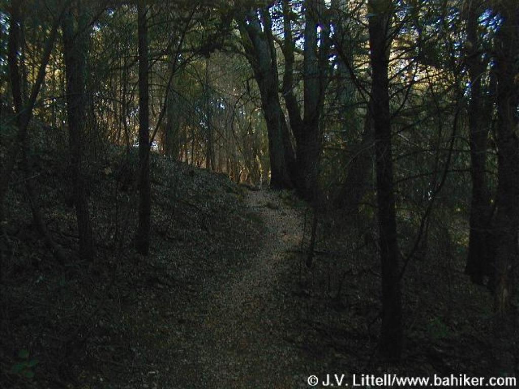 Dark woods; with little light, there's hardly any undergrowth |
 Junction with Rock Spring-Lagunitas Fire Road |
||||
 Benstein and Rock Spring-Lagunitas Fire Road run together briefly |
 Benstein departs on the right |
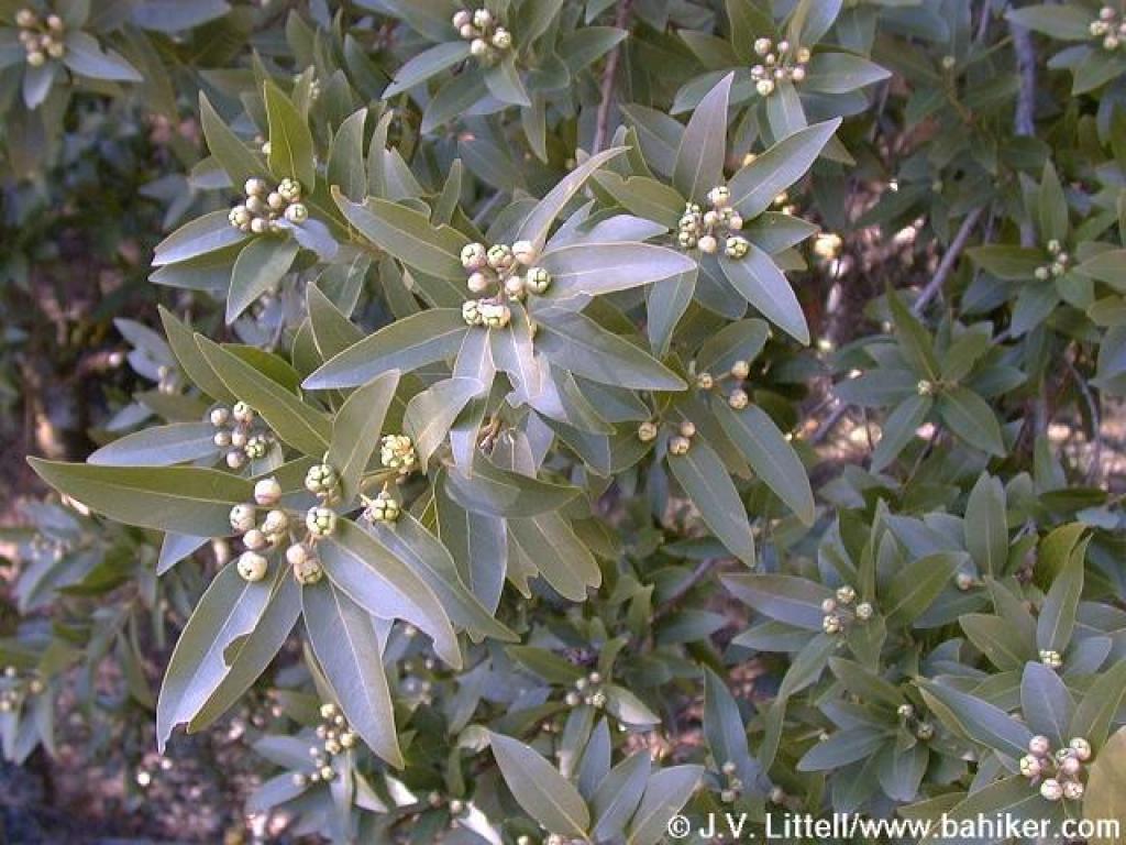 California bay about to bloom |
 Benstein Trail |
||||
 Switchback |
 Bridge erected by TCC |
 Junction |
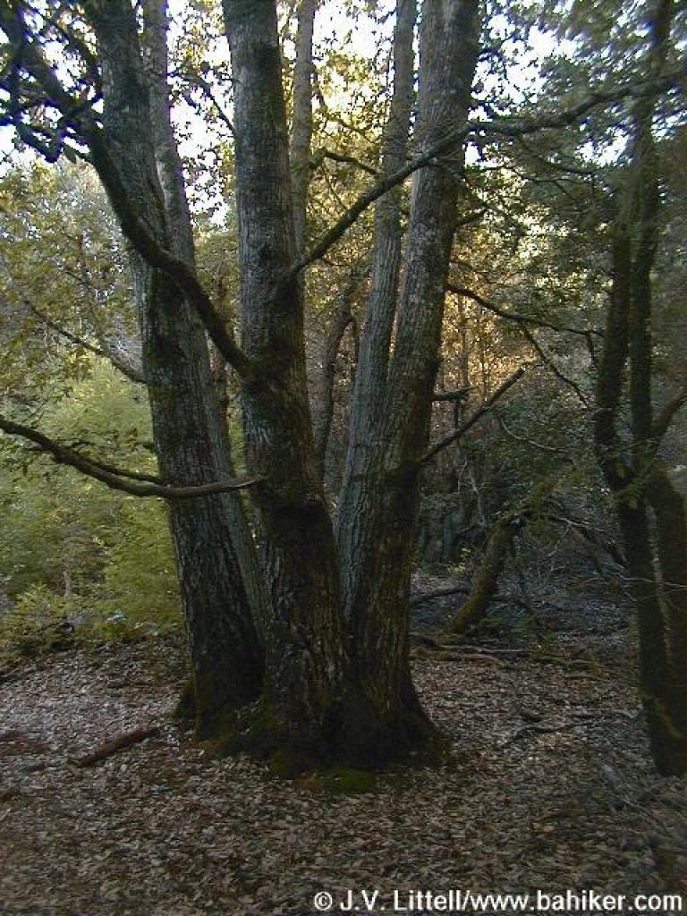
 Canyon live oak |
||||
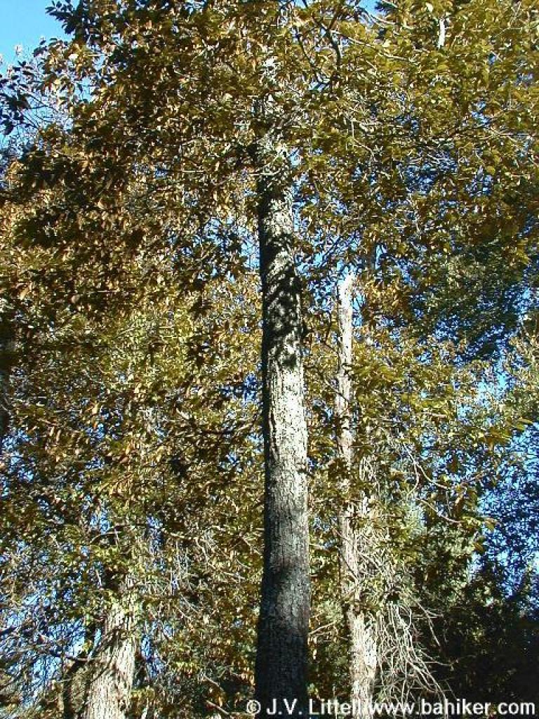
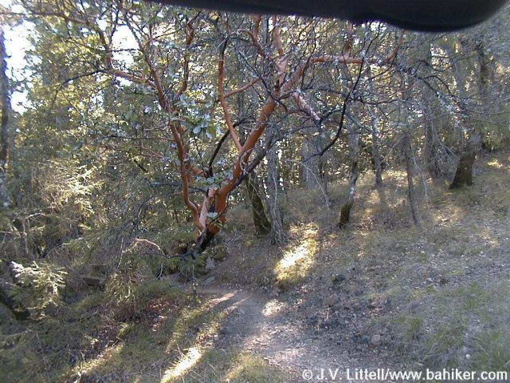 Pretty madrone |
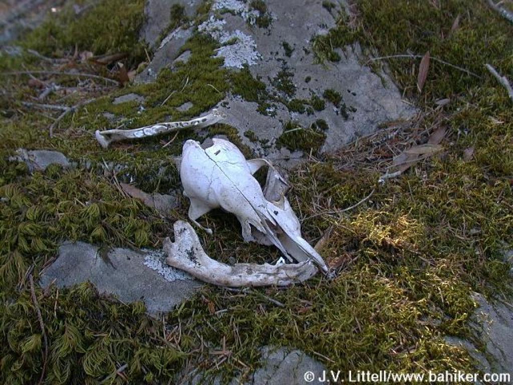 Small mammal bones on the side of the trail |
 Very rocky though here |
 End of the trail |
||||
Go to Bay Area Hiker Rock Spring page Go to Bay Area Hiker Home page |
|||||||