| Photos
from a July 2001 hike at Sanborn-Skyline County Park (click on any image for a larger view) |
|||||||
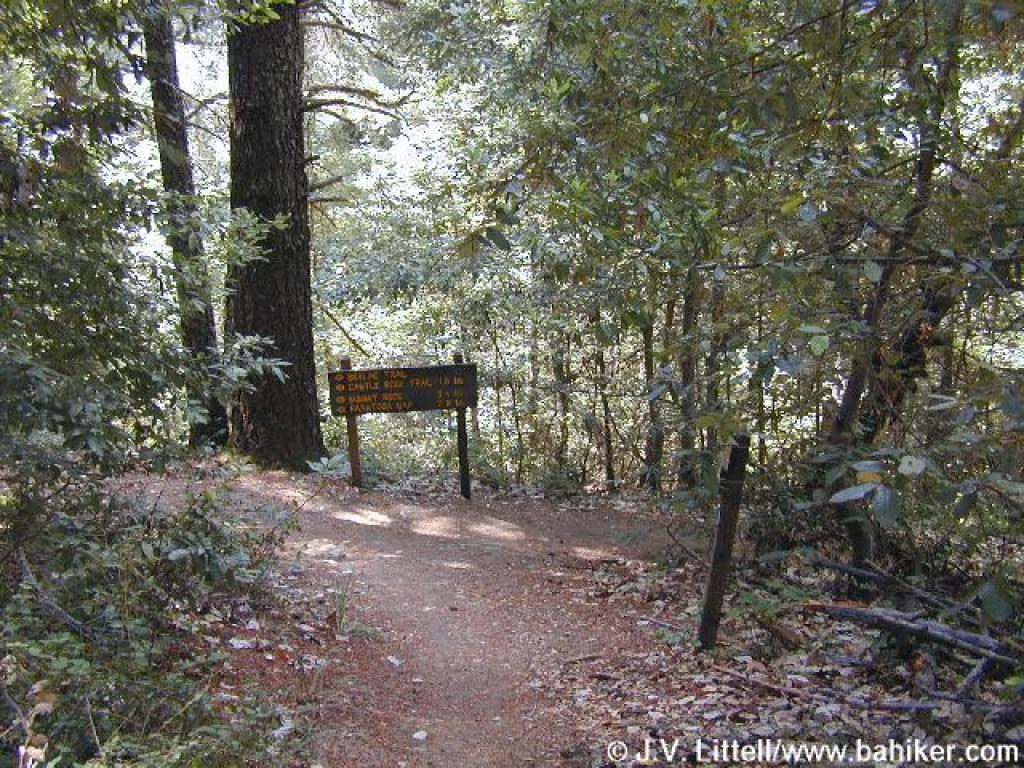
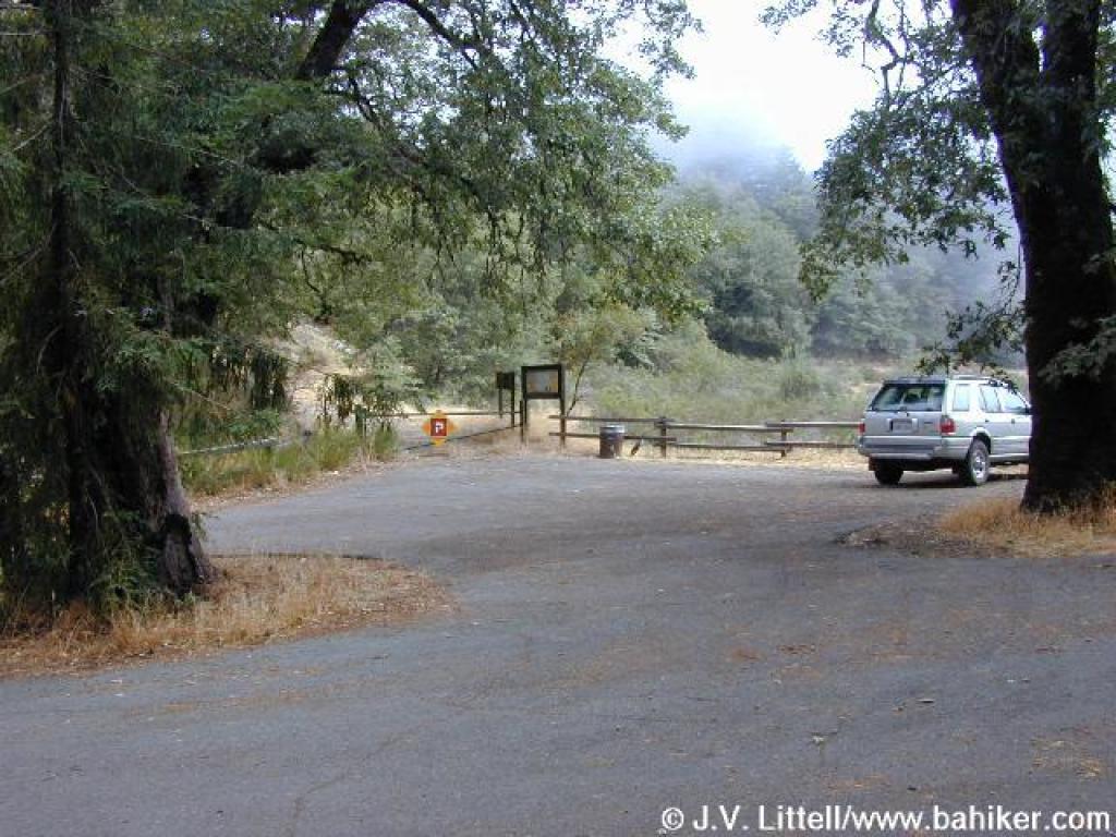 Trailhead |
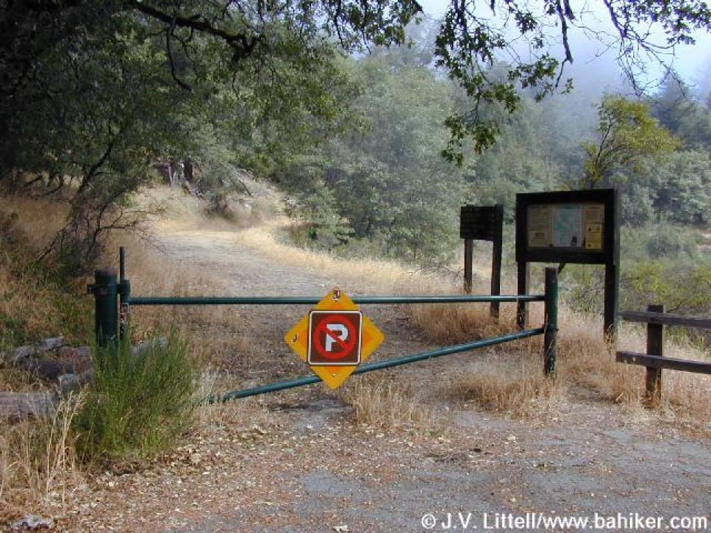 Gate |
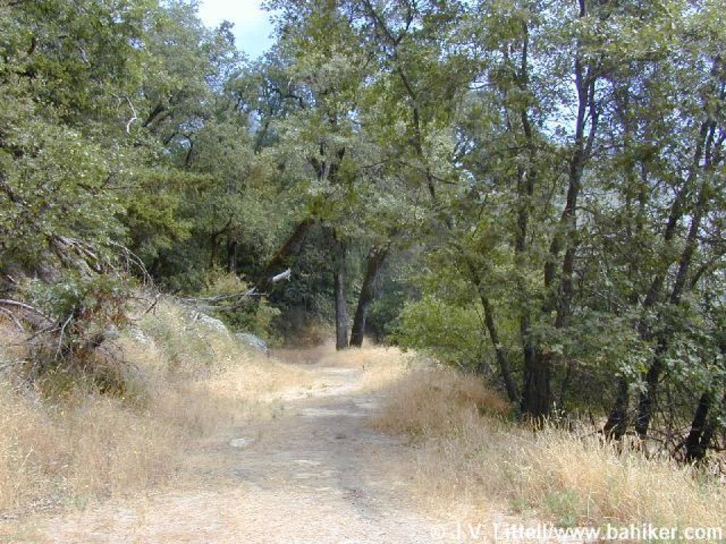 Skyline Trail |
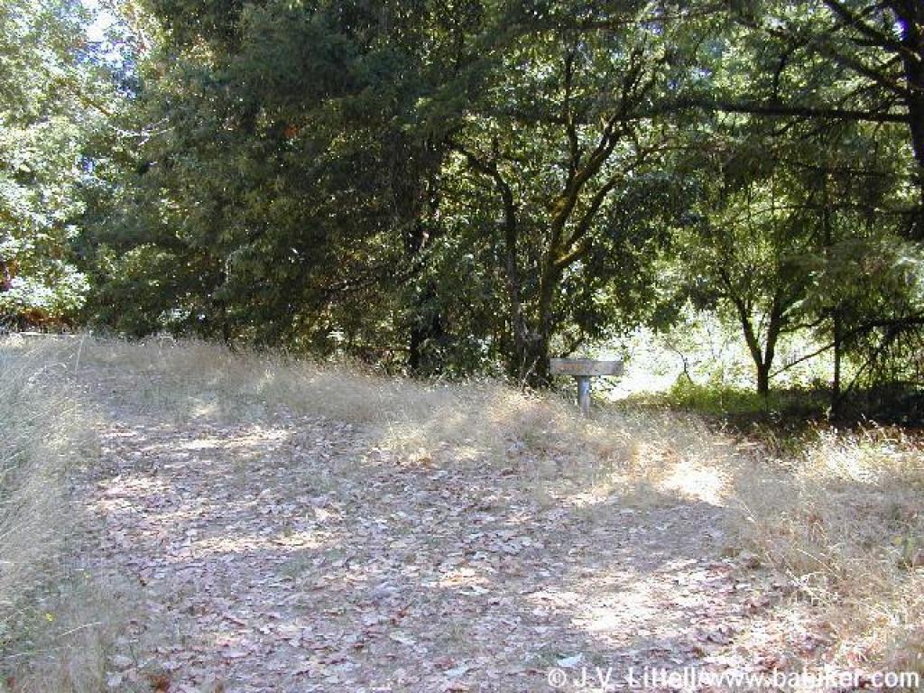
 Stay left here, as the road to the right is not a trail |
||||
 Junction |
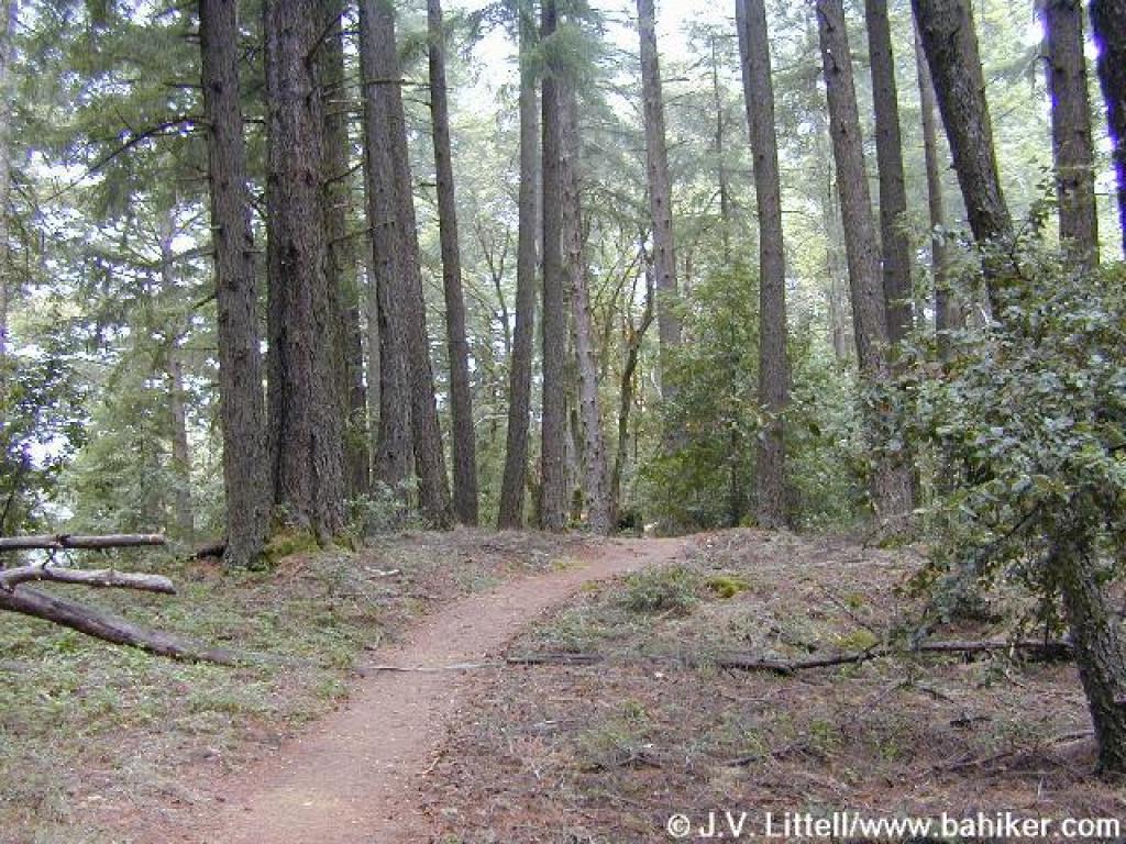
 Skyline Trail |
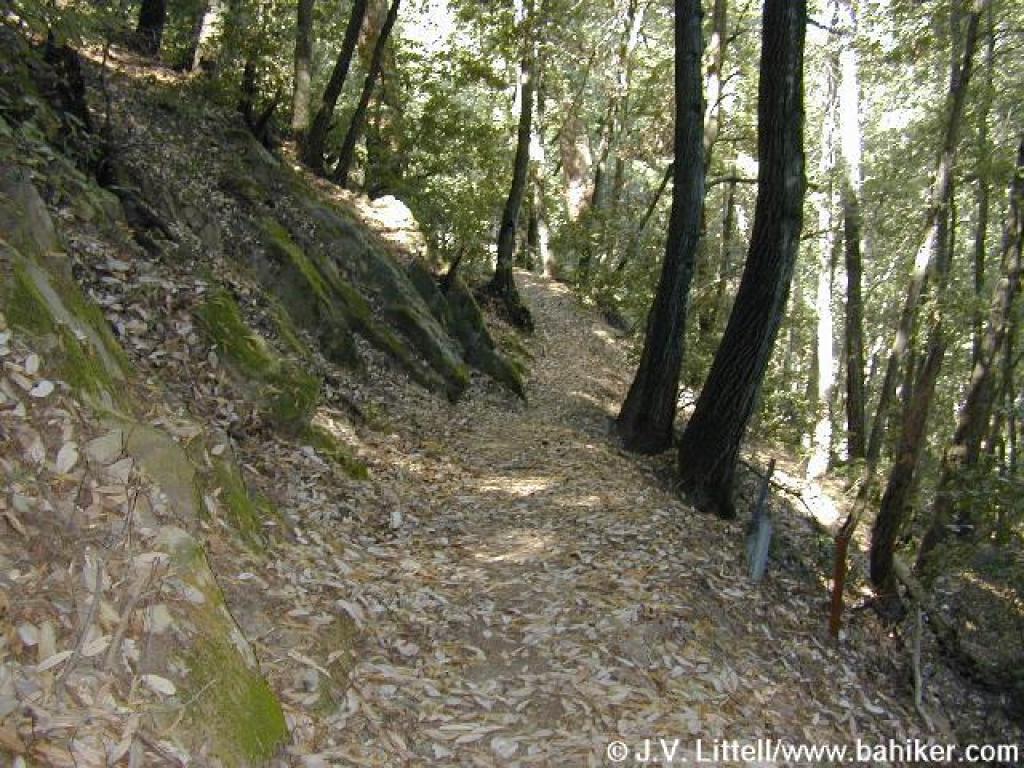
 Near Skyline Boulevard and an old stone fence |
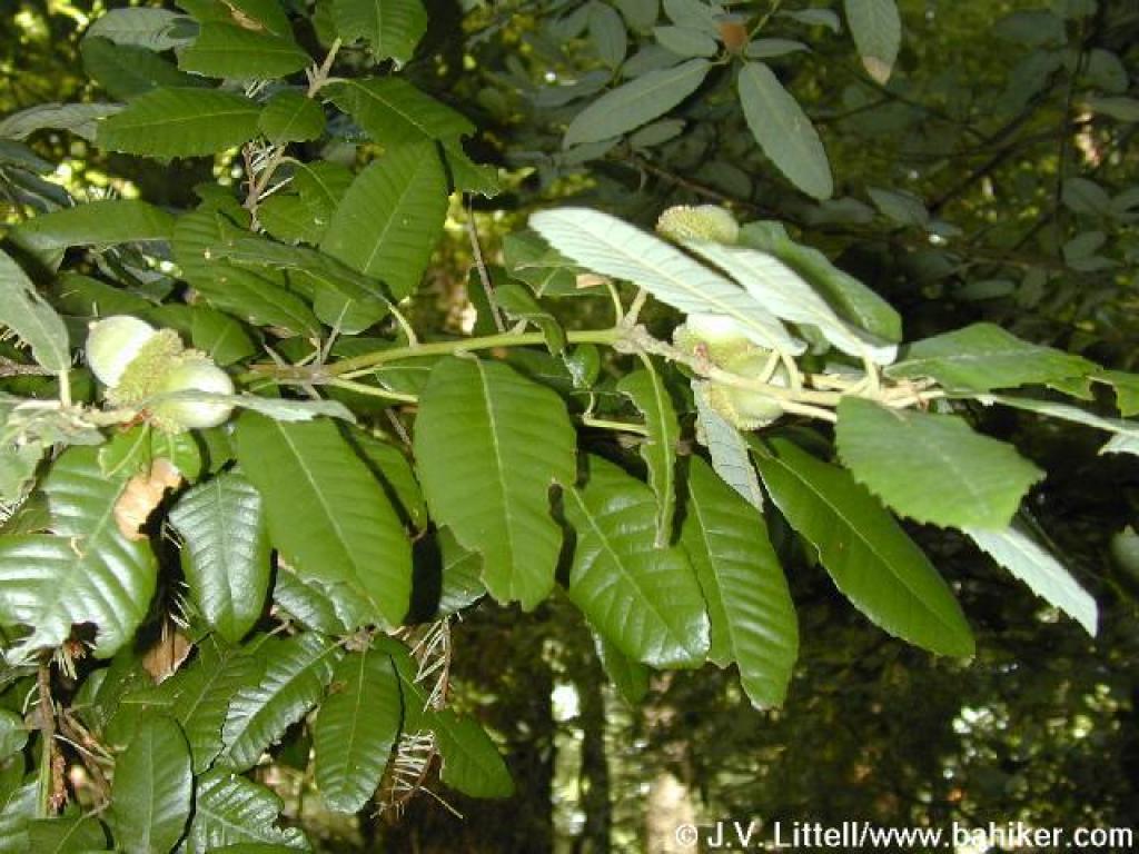 Tanoak |
||||
 Skirting a sandstone boulder |
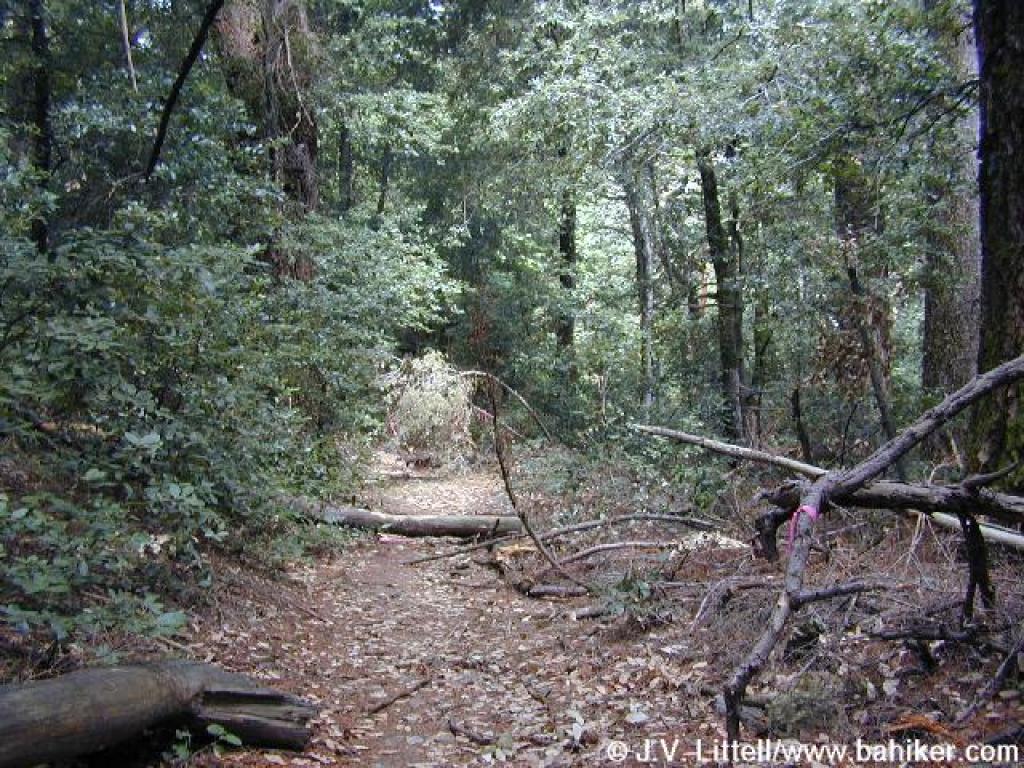 Downed branches on the trail |
 Choked trail passes through a clearing |
 Junction |
||||
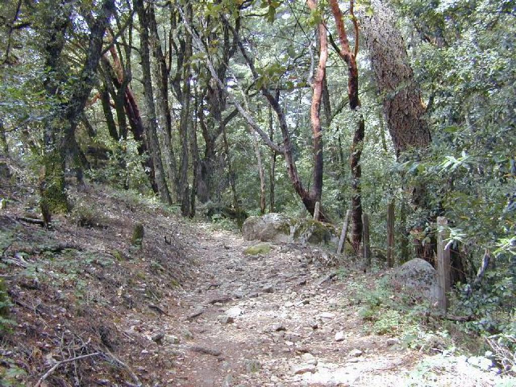 Rocky stretch |
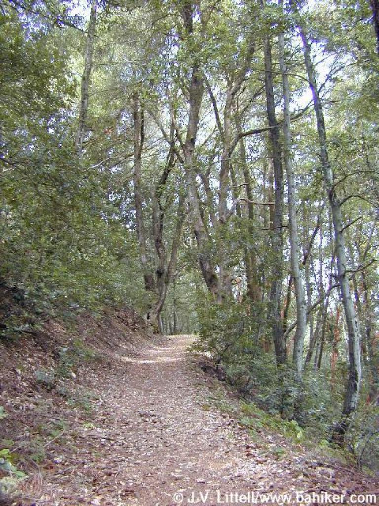 Tanoak lined trail |
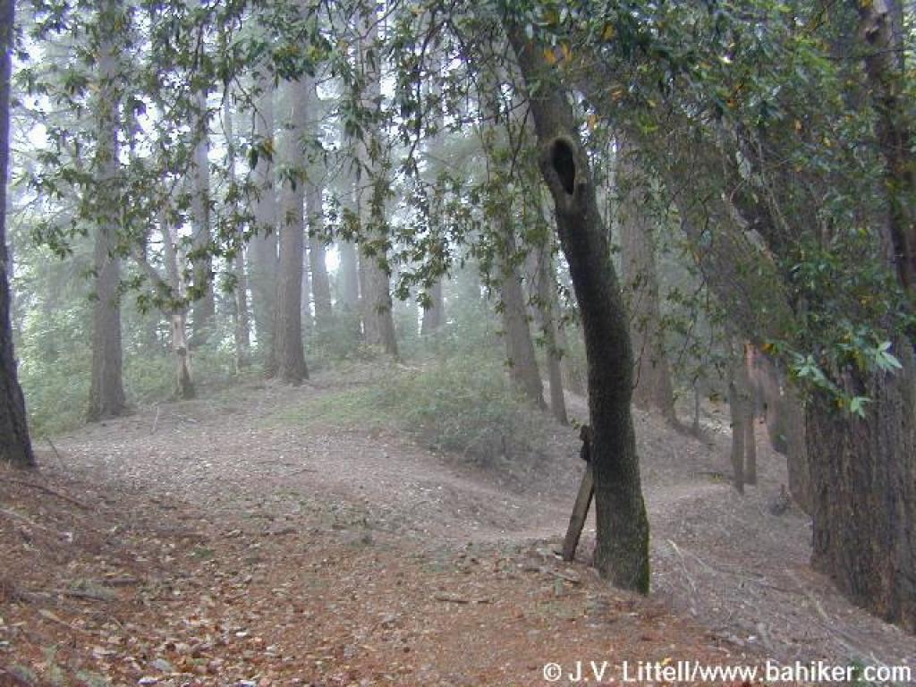
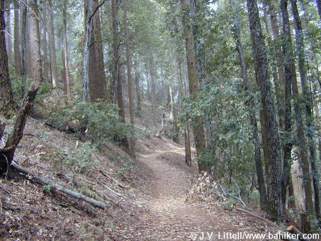 Level section |
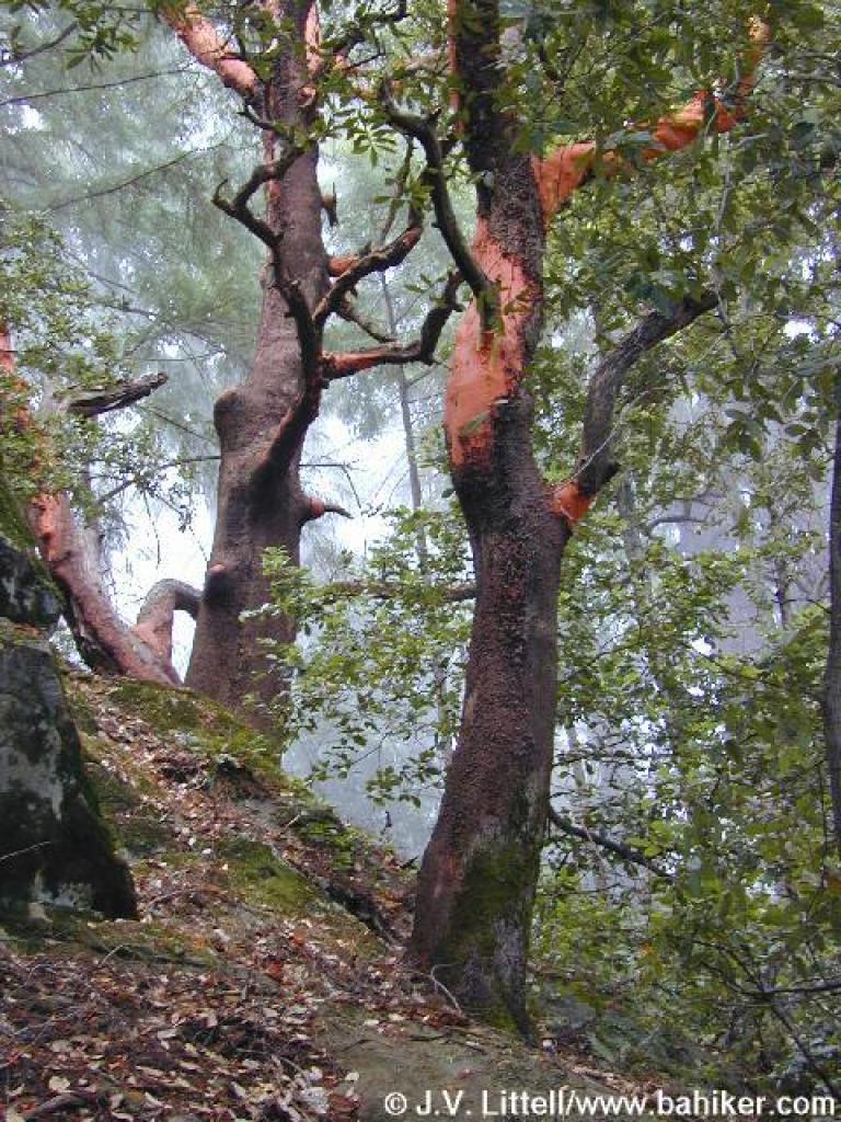 Madrones |
||||
 Foggy |
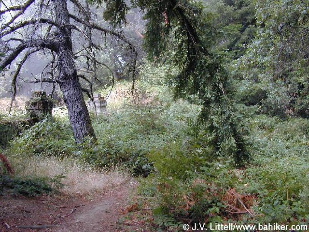
 A path feeds in from Skyline Boulevard |
 A massive Douglas fir, one of many along the trail |
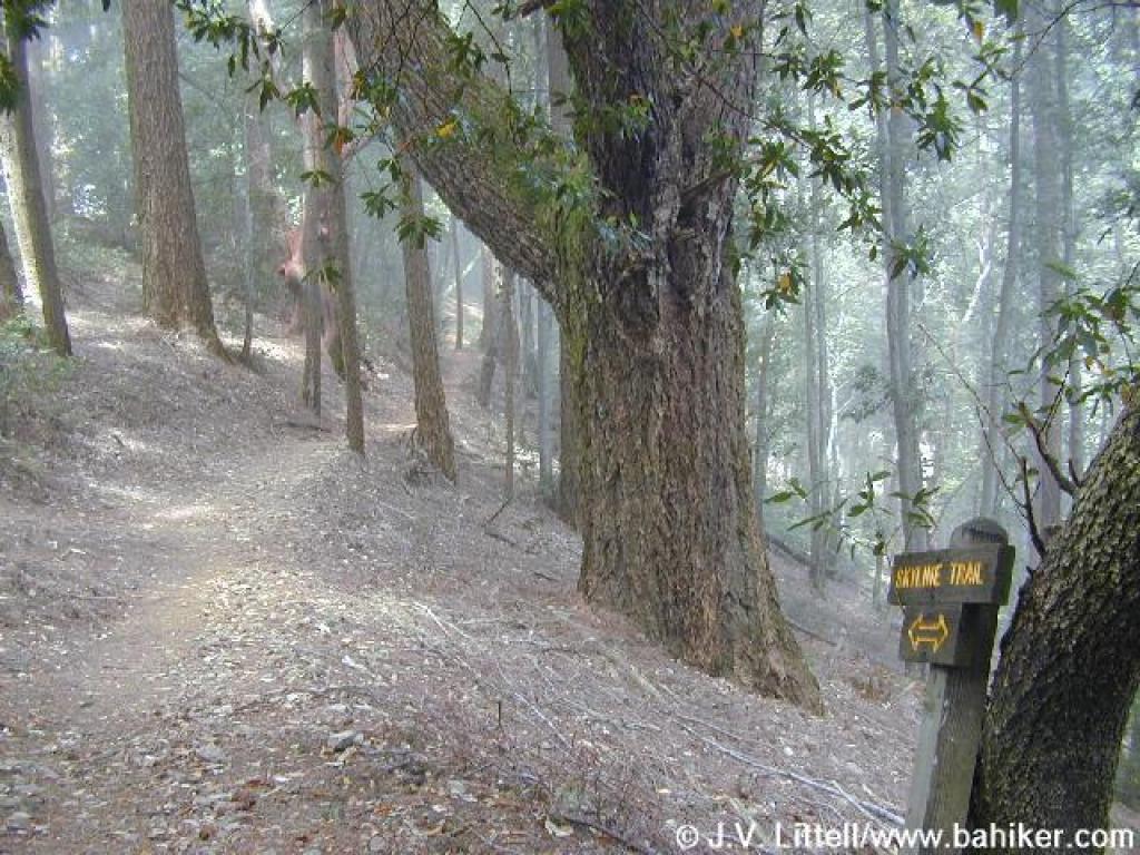
 Skyline Trail |
||||
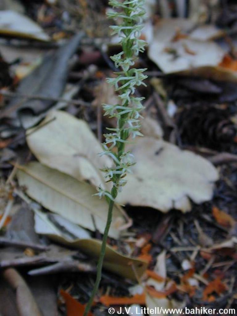 A summer orchid |
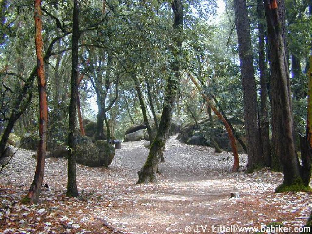
 Approaching Indian Rock Trailhead |
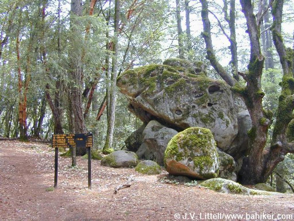 Boulder, sign, and path to Indian Rock on the left |
 Area around Indian Rock |
||||
Go to Bay Area Hiker Sanborn-Skyline page Go to Bay Area Hiker Home page |
|||||||