| Photos from Bay Area
Ridge Trail, Skyline Ridge Open Space Preserve (click on an image for a larger view) |
|||||||
 Trailhead |
 Information signboard |
 Coyote brush |
 Trail |
||||
 Coast live oak |
 Ascending through oaks, buckeyes and grassland |
 Big-leaf maple leaves on the ground |
 Junction with Ridge Trail Alternate |
||||
 The only steep stretch of the day, a climb to the ridgetop |
 Almost there! |
 Two trails head west along the Ridge Trail Alternate. Continue straight. |
 View east to Monte Bello Open Space Preserve and Black Mountain |
||||
 Descending through oaks |
 Junction; turn right |
 Along a straight wide trail; the ranger station is to the right |
 Junction. Turn right toward Alpine Pond. |
||||
 Toyon |
 Downhill |
 Path to the left is not a through trail. Continue straight. |
 Approaching junction with Ridge Trail. |
||||
 Approaching pond |
 Alpine Pond |
 A maple |
 Ridge Trail |
||||
 One big old oak |
 Ridge Trail |
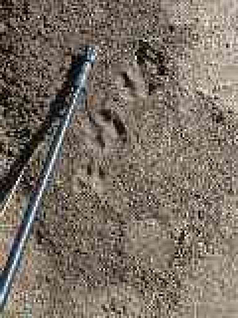 Bobcat prints |
 Ridge Trail |
||||
 View west |
 Fuchsia, blooming in November |
 Norbert's bench |
 Through chaparral |
||||
 Junction. Continue straight. |
 Very interesting trail routing through and around the rock. |
 View all the way to the ocean |
 Silktassel |
||||
 California sagebrush |
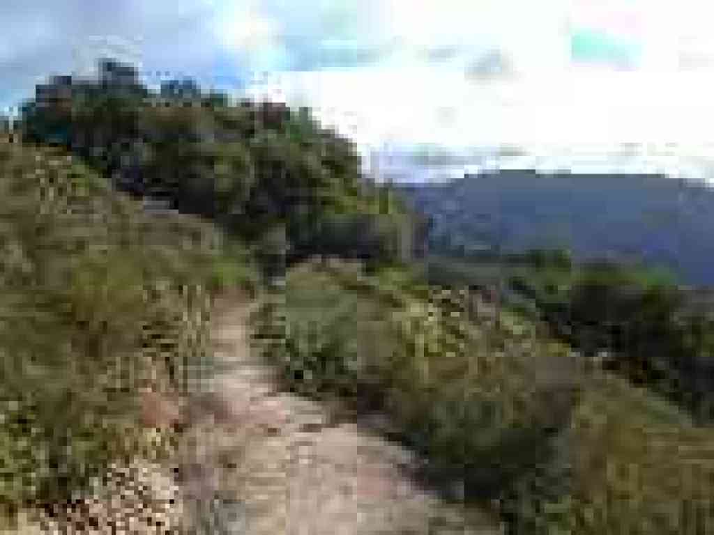 Ridge Trail |
 Manzanita |
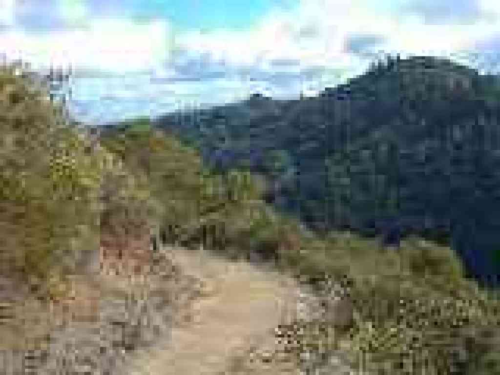 View south to Mount Umunhum |
||||
 Heading east |
 Junction. Turn right. |
 Descending to Horseshoe Lake |
 Trail |
||||
 First clear view of the lake |
 Junction. Turn right. |
 Horseshoe Lake |
 Junction with Lambert Creek Trail |
||||
 Junction; bench sits just past the bridge |
 Ridge Trail |
 This trail is wheelchair accessible |
 Approaching a bridge |
||||
 Oak |
 Snowberries |
 Crossing the parking lot |
 Last stretch |
||||
Go to Bay Area Hiker Skyline Ridge page. Go to Bay Area Hiker Home page. |
|||||||