|
Photos from a May 2002 hike at Baylands Preserve |
|||||||
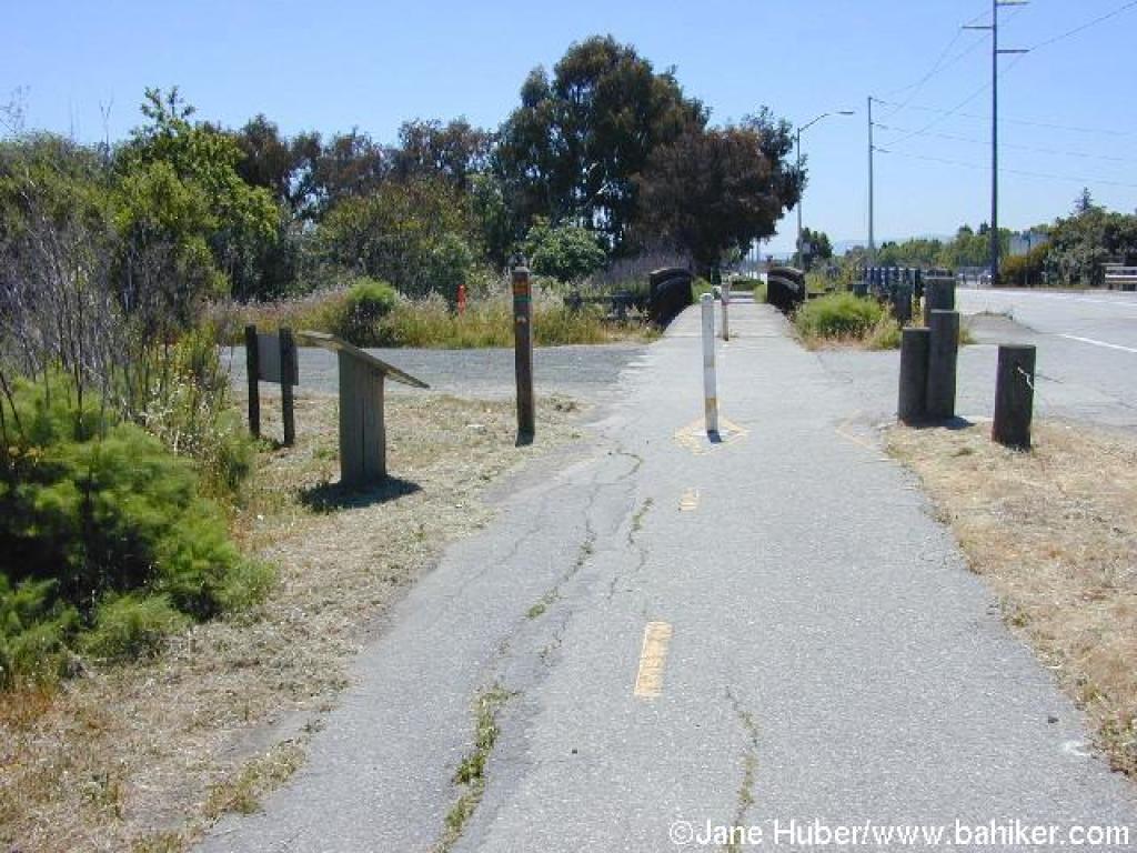
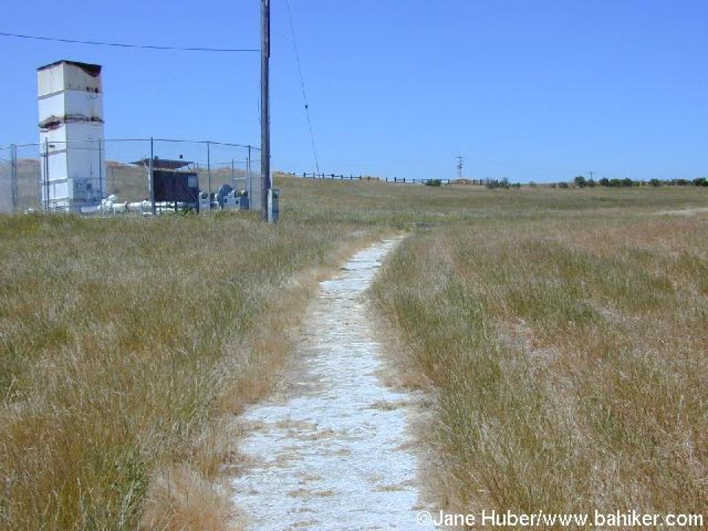
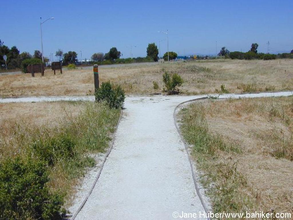
 Trailhead |
 Start |
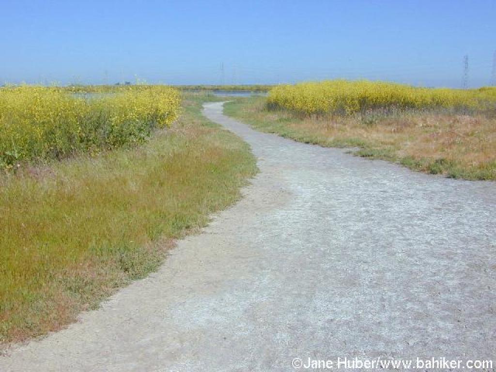 Mustard lines the trail |
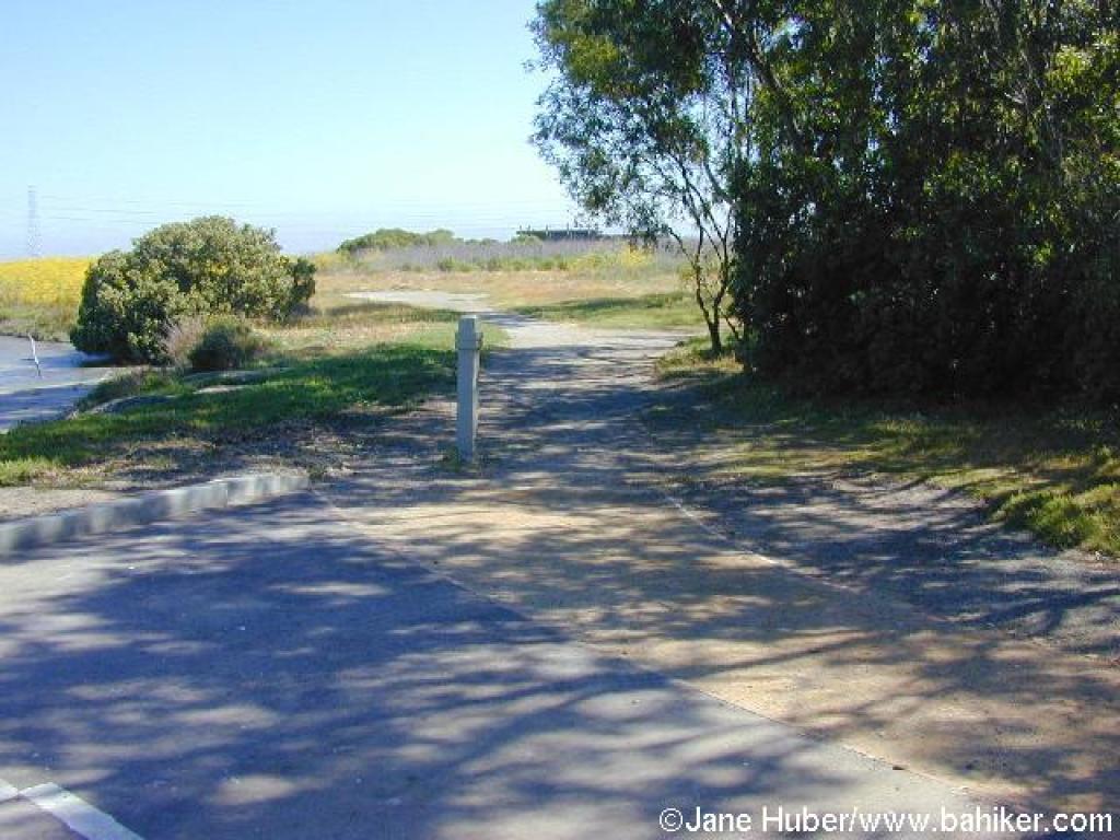
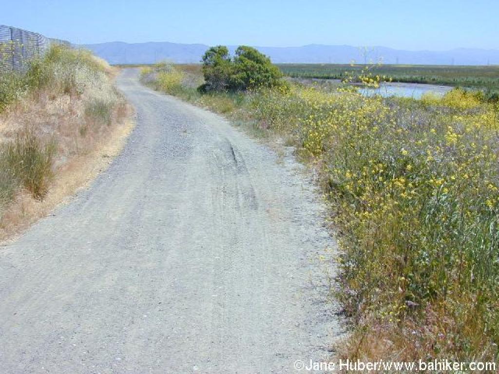
 Curving back toward the road |
||||
 Approaching road |
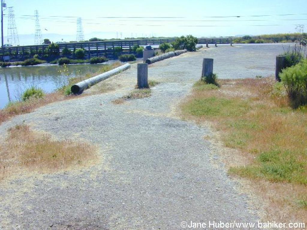
 Bridge |
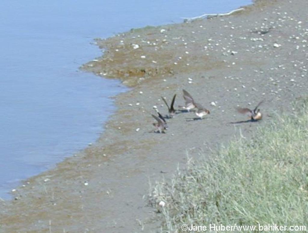 These swallows flapped their wings continually, even as they walked around |
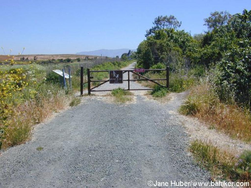
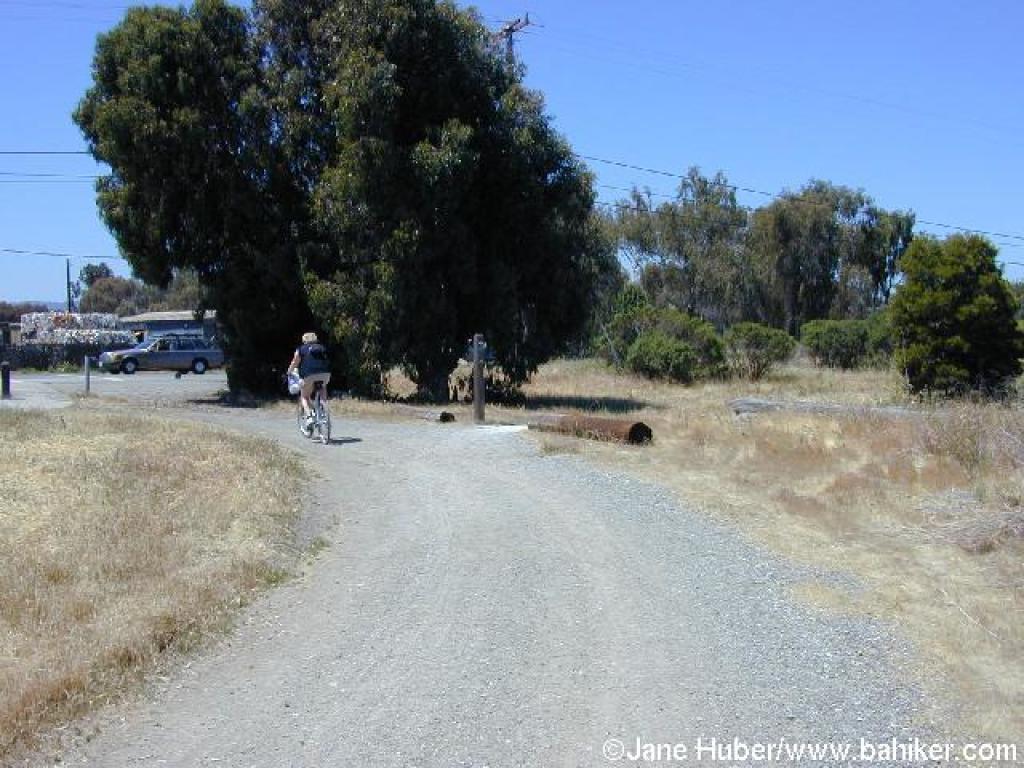
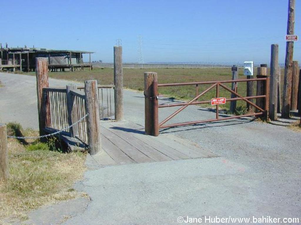 Gate |
||||
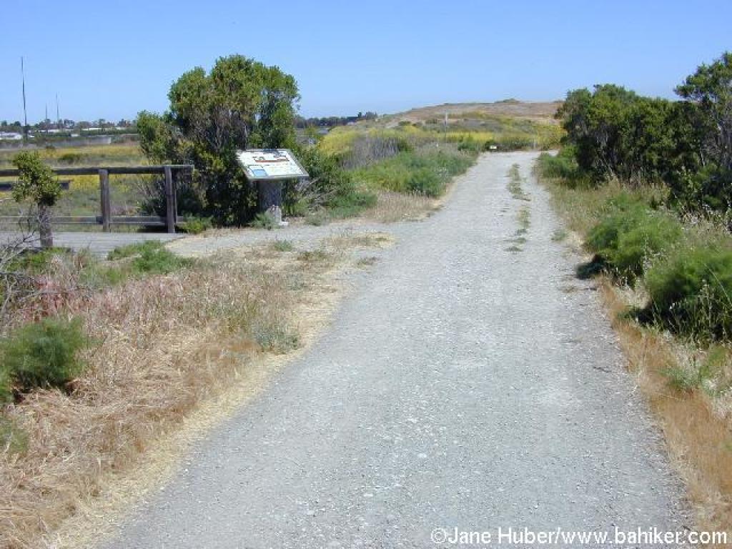
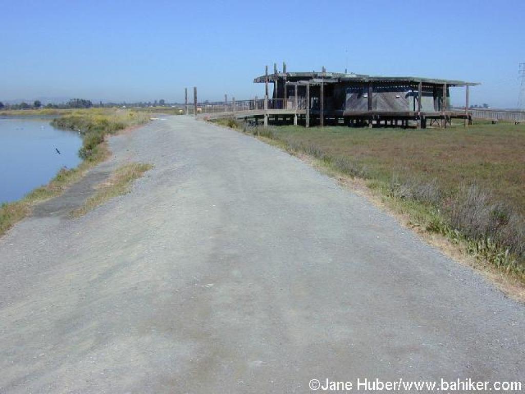 Interpretive Center |
 San Francisquito Trail |
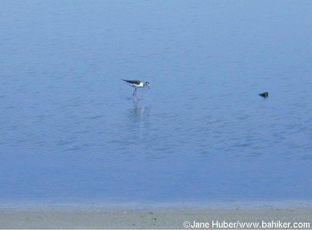 Stilt |
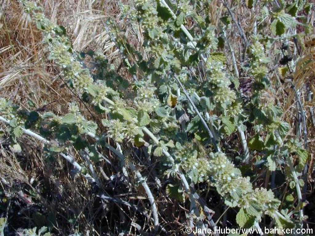 Horehound |
||||
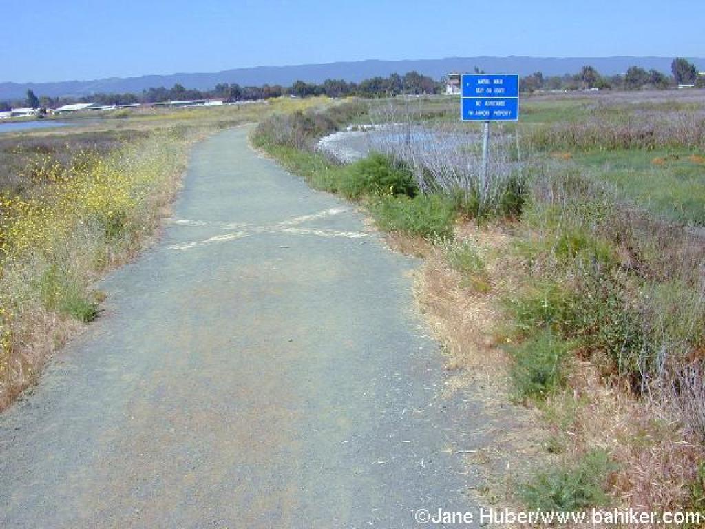 Near Palo Alto Airport |
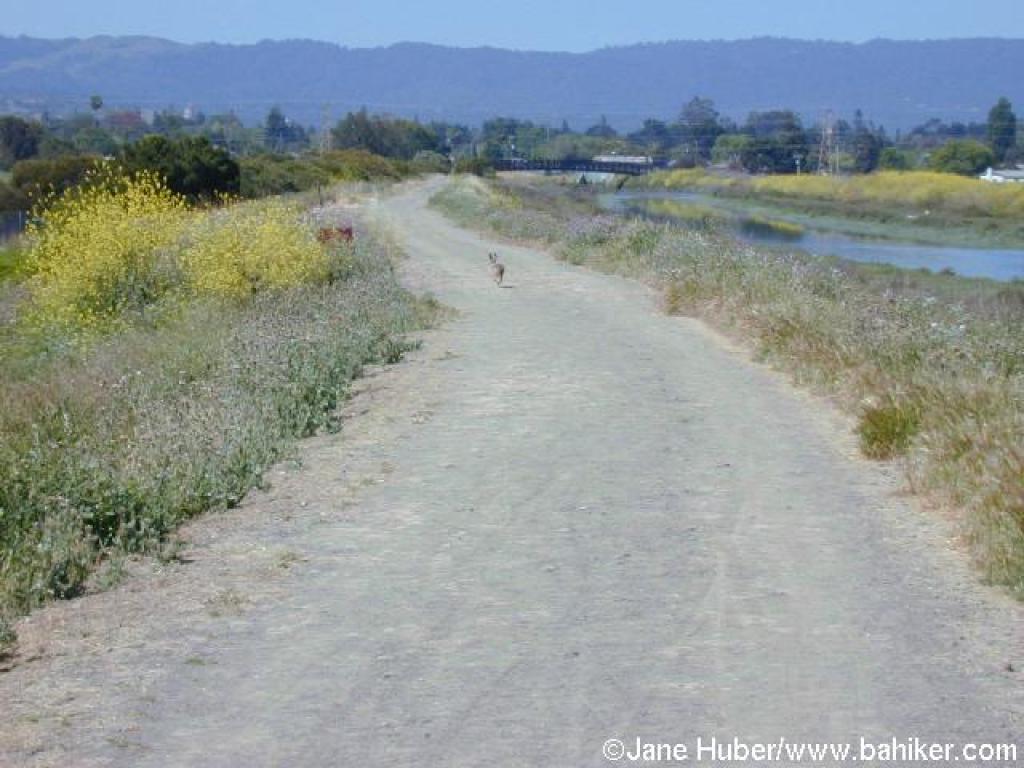
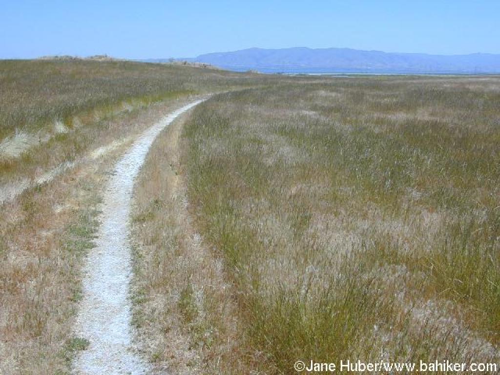
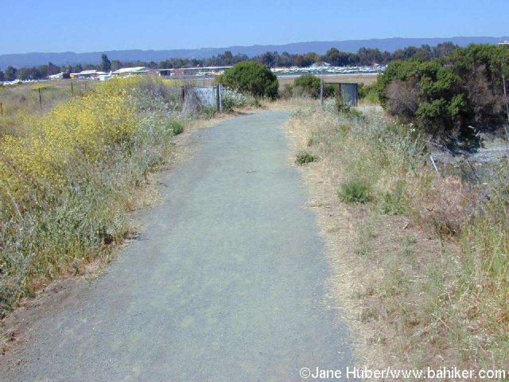 Trail curves around airport |
 View northeast |
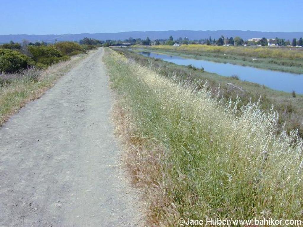
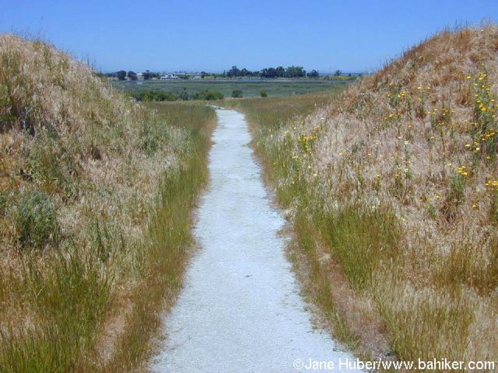
 Straight stretch |
||||
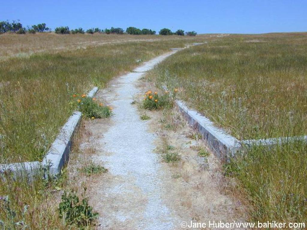
 Approaching junction |
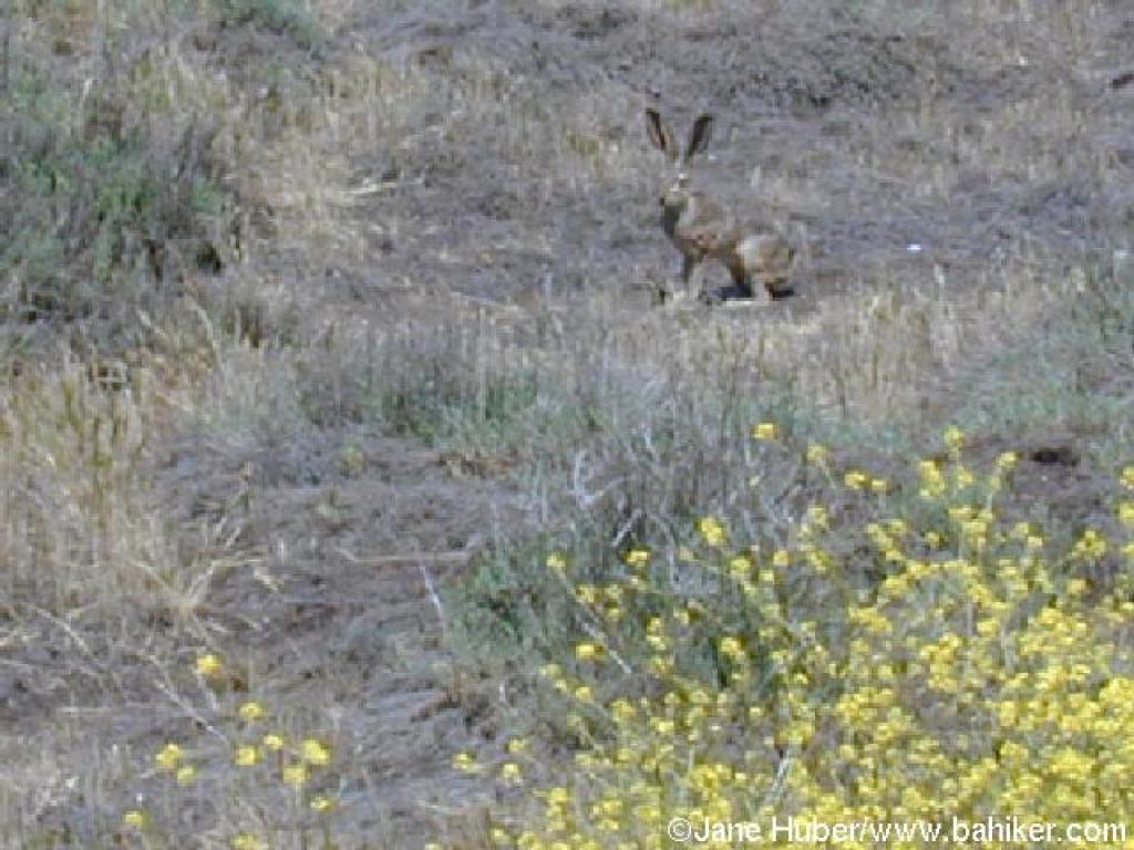
 A jackrabbit on the trail |
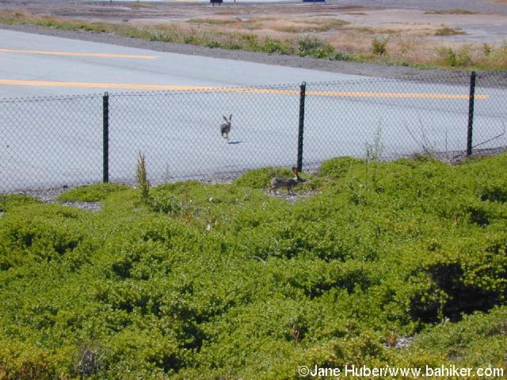 Two more jackrabbits |
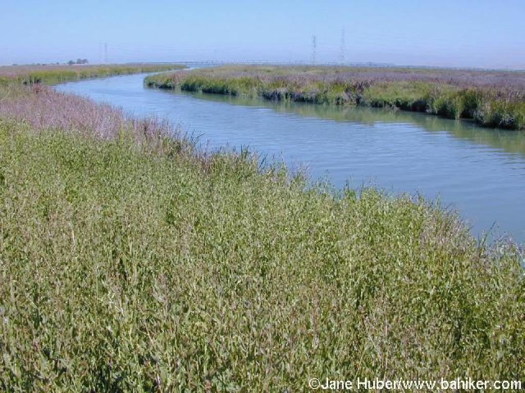
 Along San Francisquito Creek |
||||
 Approaching junction and bridge |
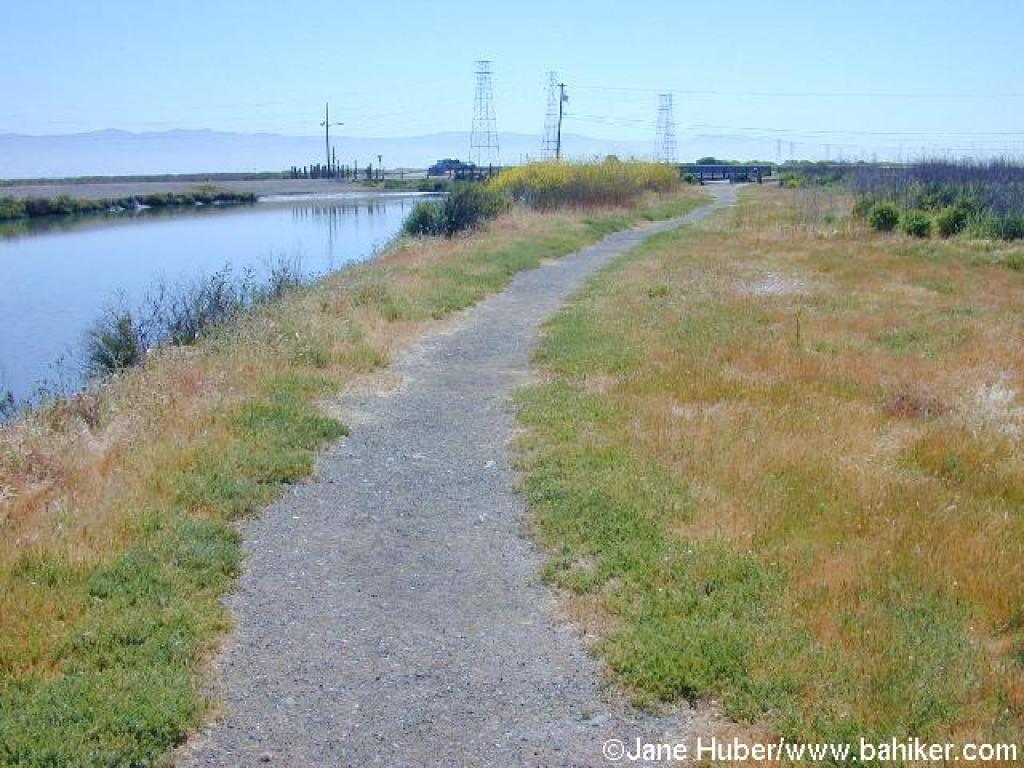
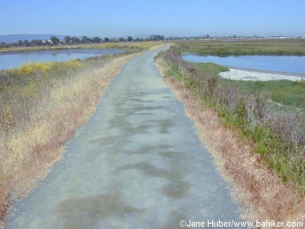
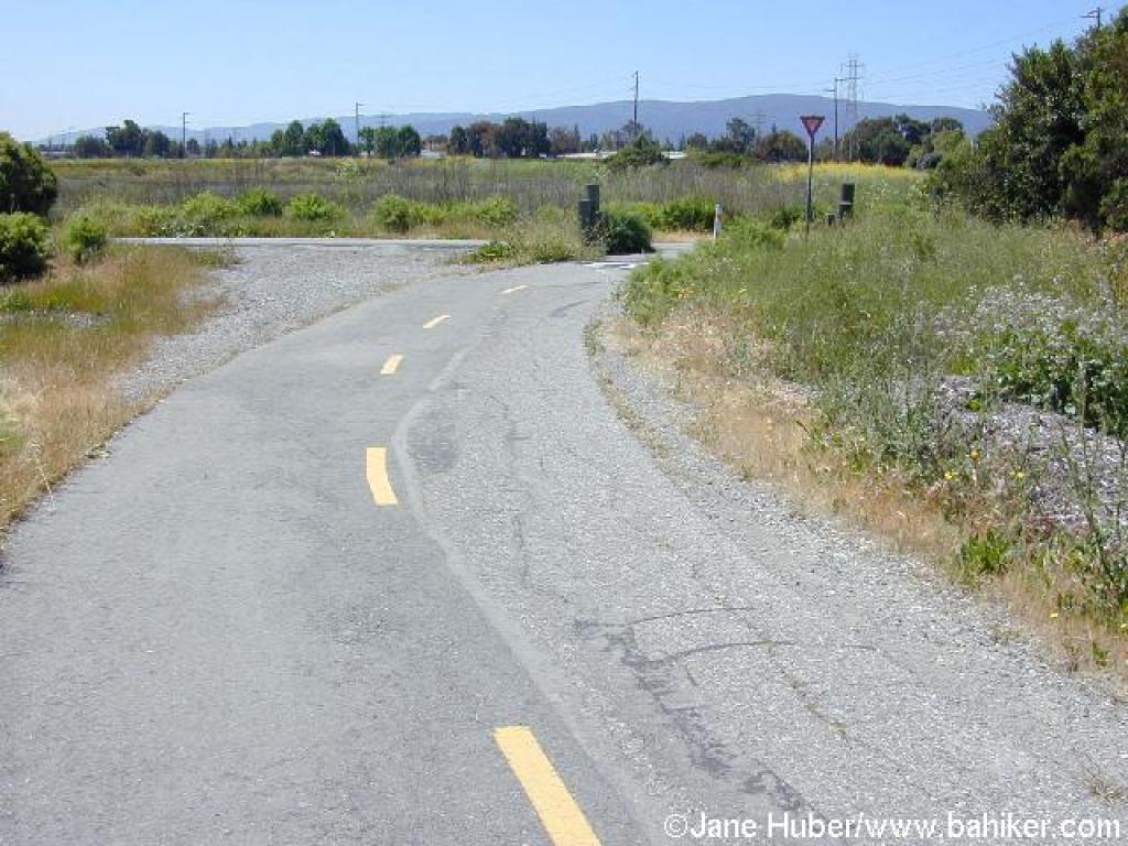
 Paved trail |
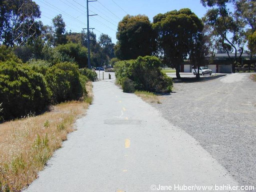 Approaching Baylands Athletic Center |
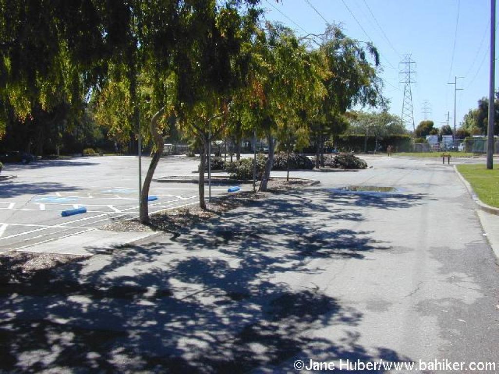 Crossing parking lot |
||||
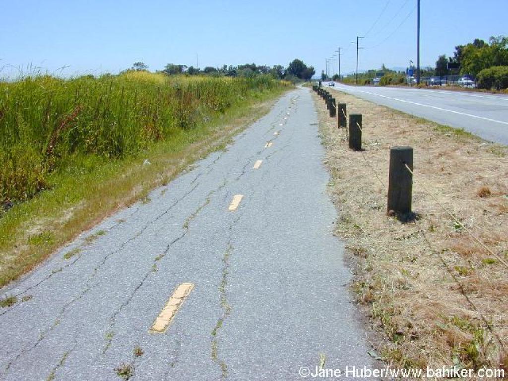
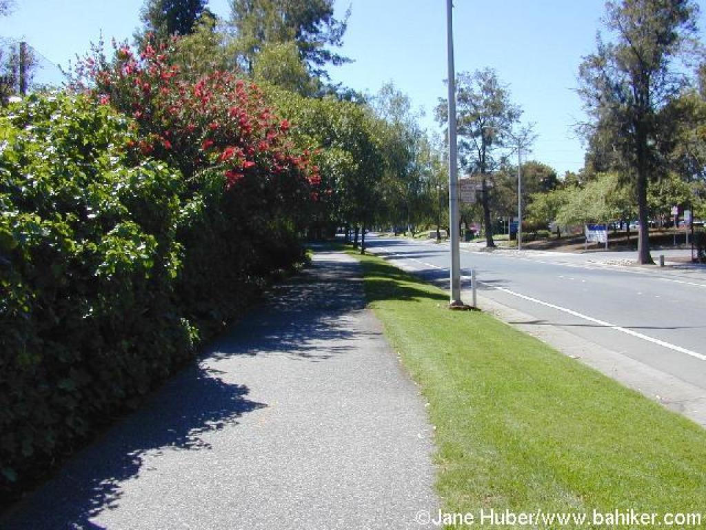 Sidewalk along Geng Road |
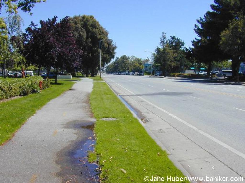 Sidewalk along Embarcadero Road |
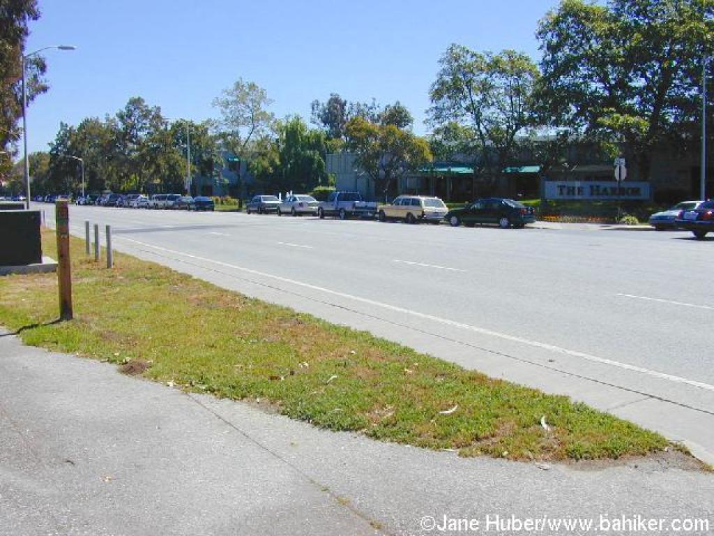 Crossing the road |
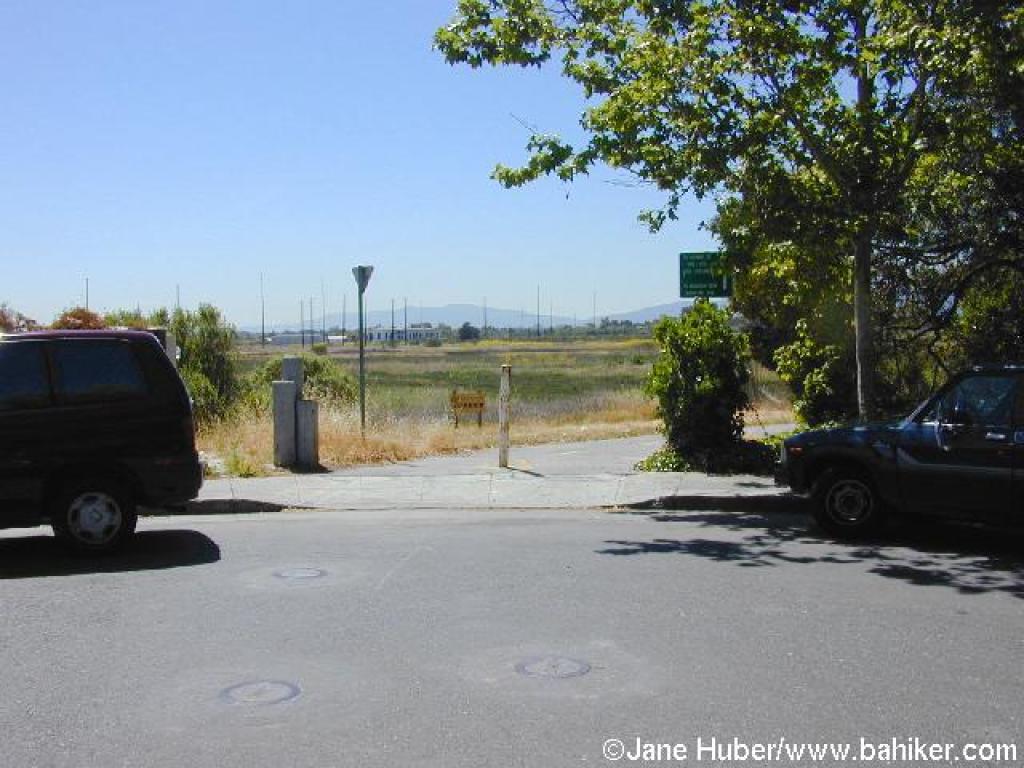 Trail resumes at the end of Faber Place |
||||
 Renzel Trail |
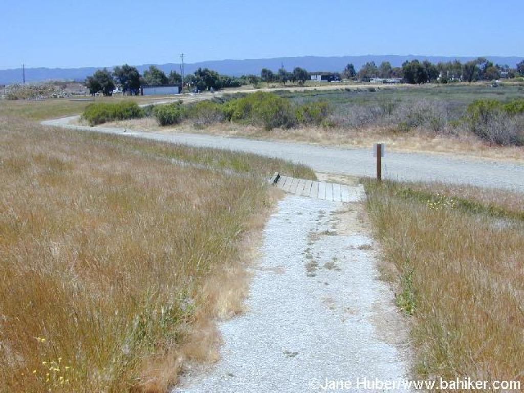
 Junction |
 Path follows along Bayshore Road |
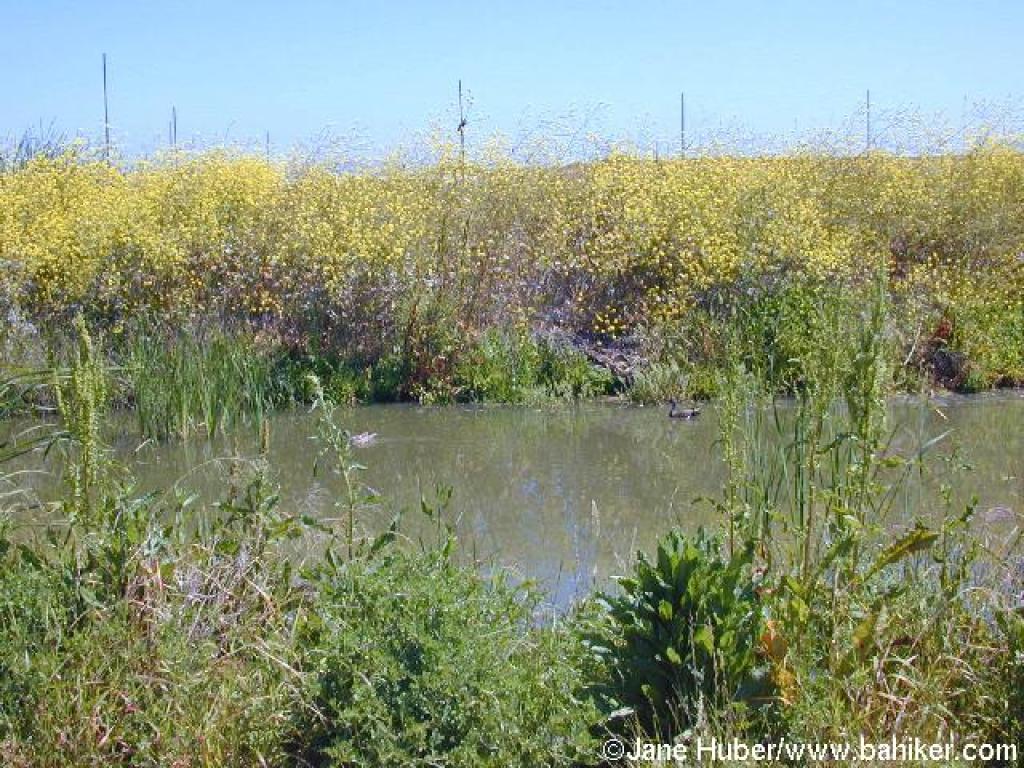 Ducks and a red-winged blackbird in the wetlands |
||||
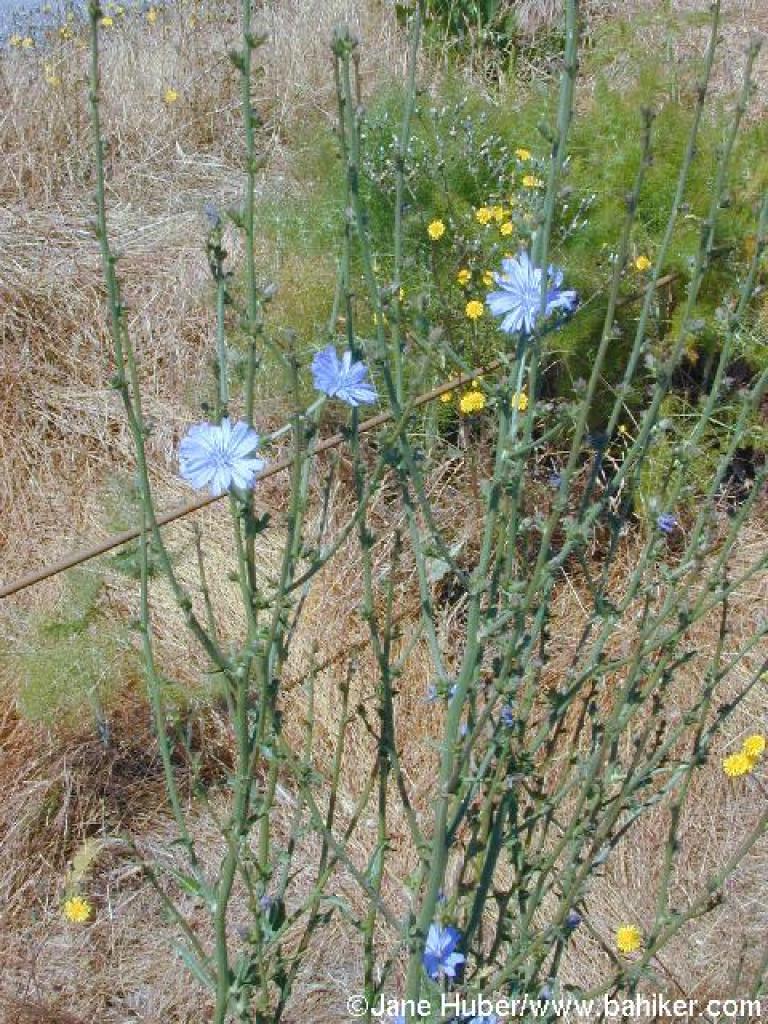 Chicory |
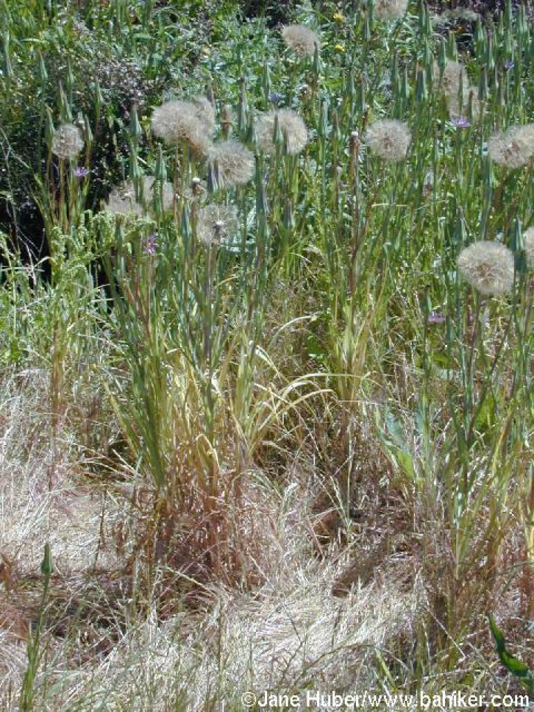 Salsify |
 View east |
 Junction |
||||
 Adobe Creek Trail |
 An interpretive sign along the trail |
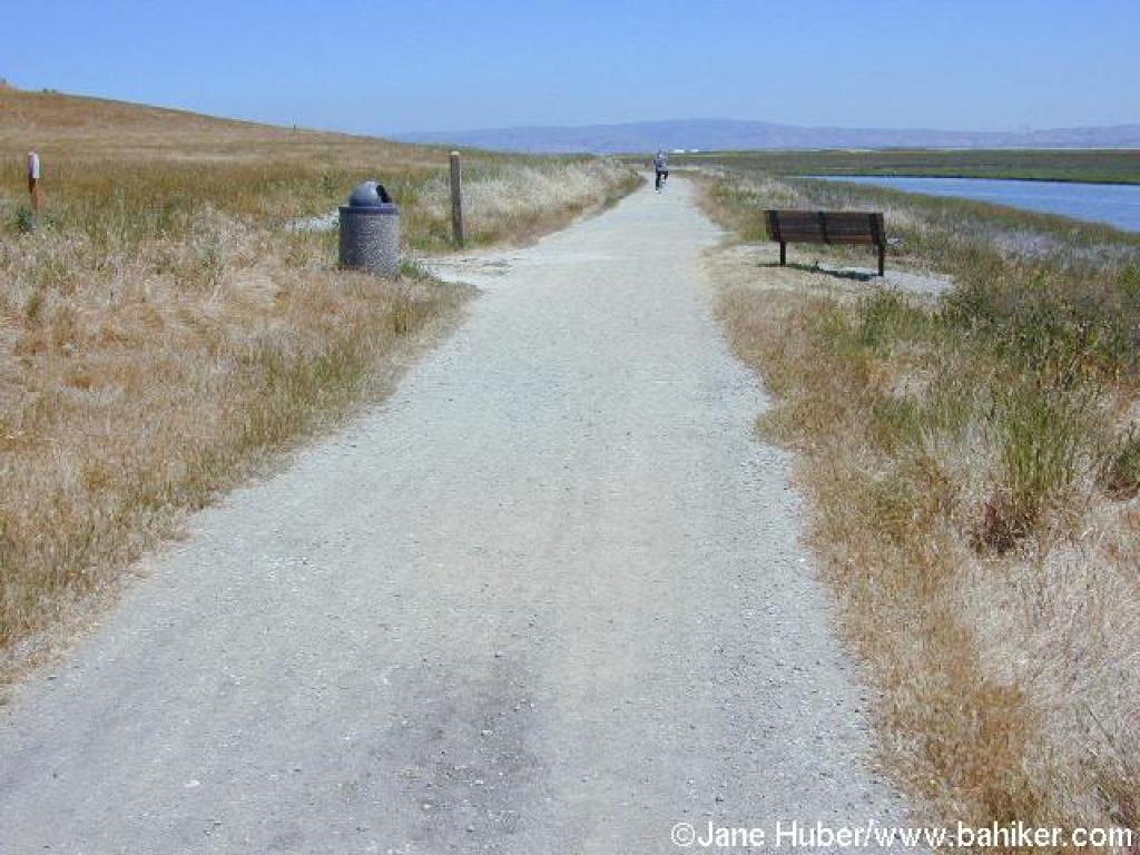
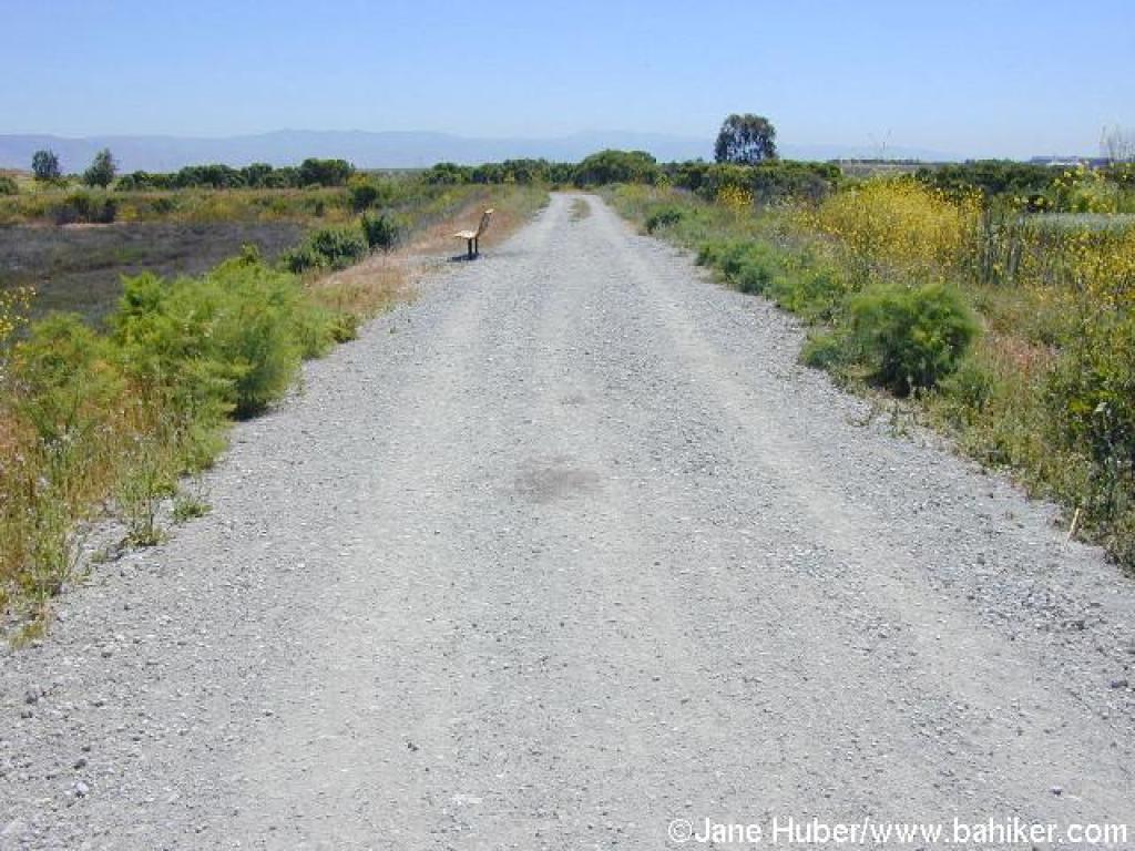 Bench on the trail |
 Jackrabbit |
||||
 View east including the flood control basin |
 Wild radish and mustard |
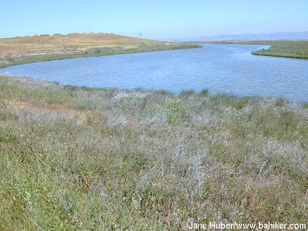 Mayfield Slough |
 Junction with the first of the hilltop trails |
||||
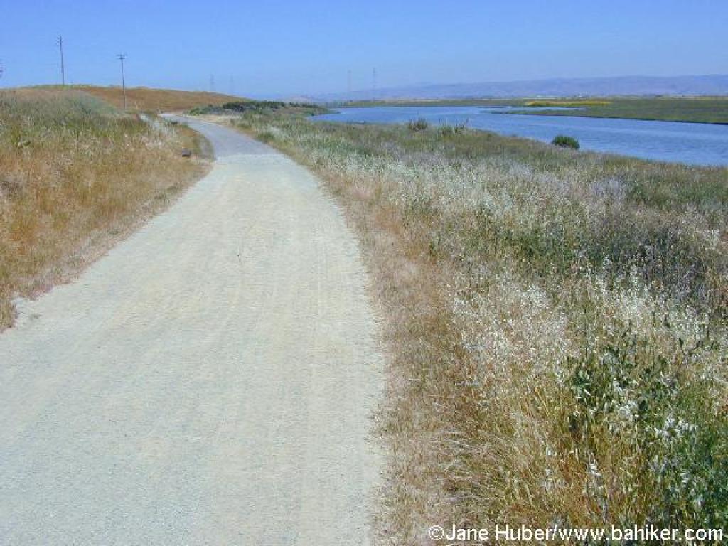 Adobe Creek Trail |
 Junction |
 One of the hilltop trails |
 Poppies along the trail |
||||
 View east from the trail |
 Approaching junction |
 Trail |
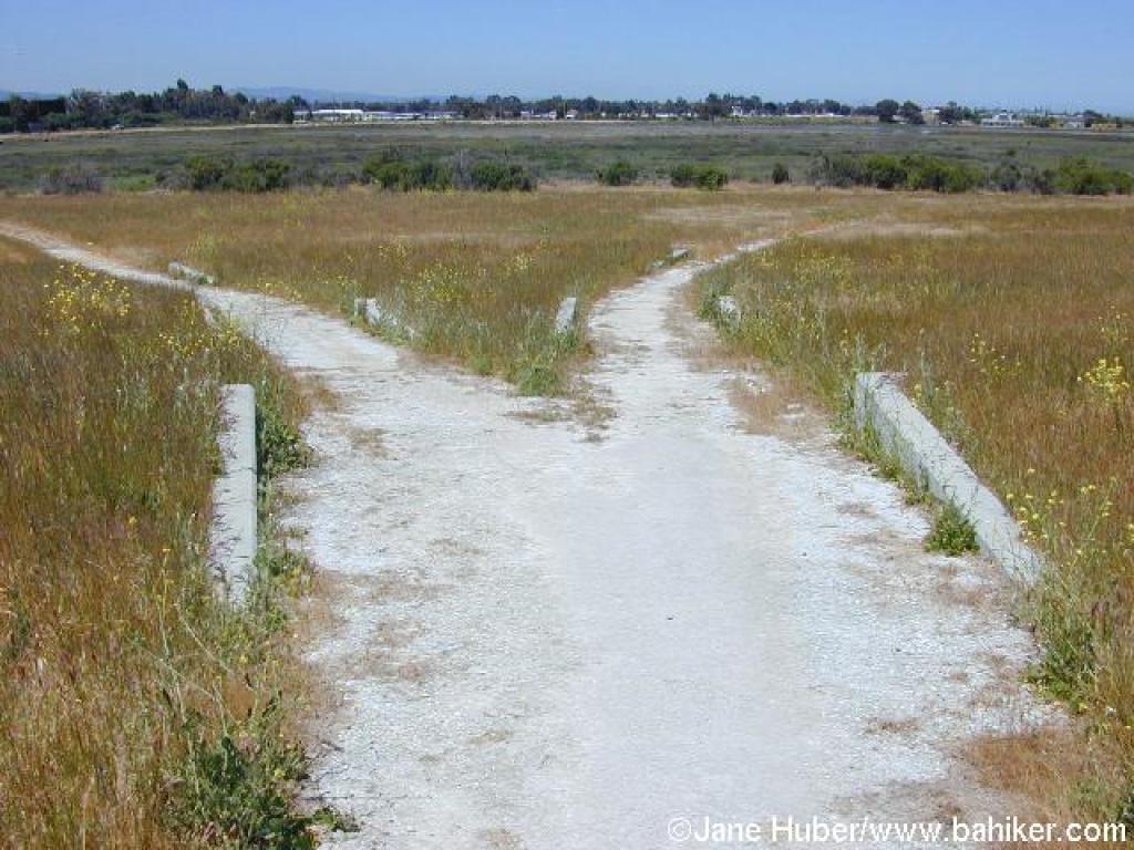 Split |
||||
 Junction with Adobe Creek Trail |
 Adobe Creek Trail |
 Great blue heron? |
 Junction |
||||
 Marsh Front Trail |
 Junction |
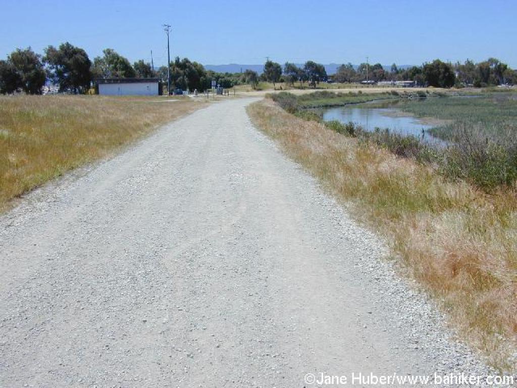
 Last stretch |
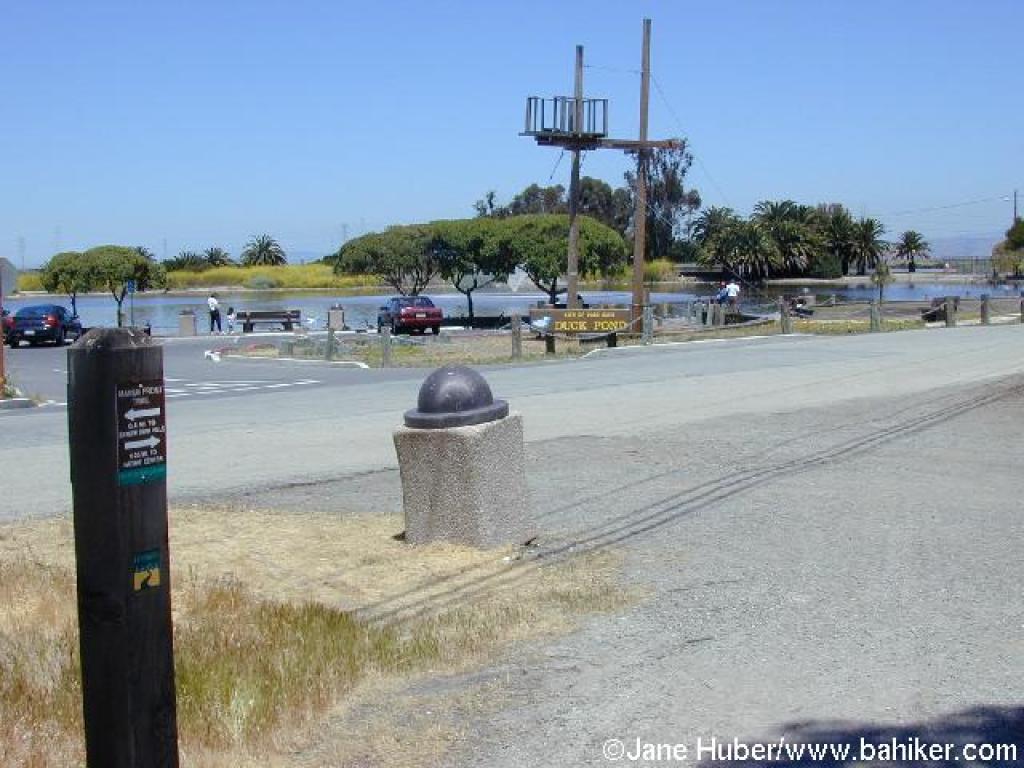 Back at the road and Duck Pond |
||||
 Along the shore of the Duck Pond |
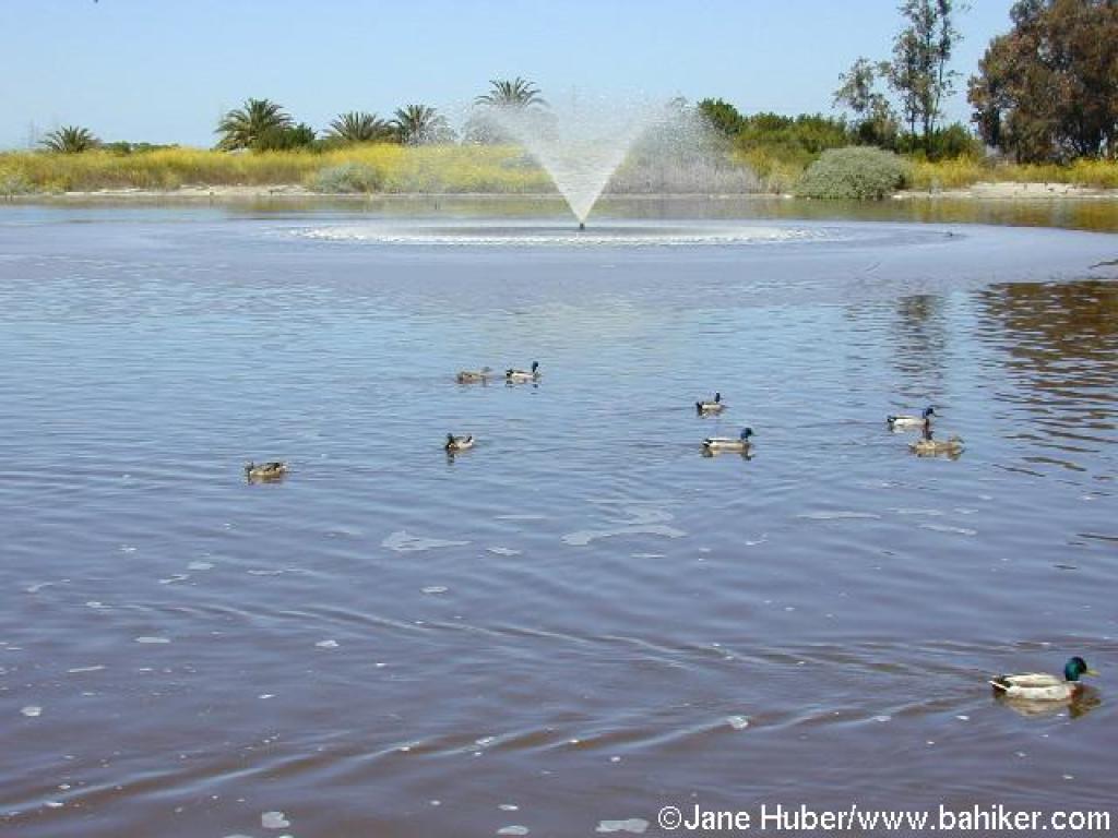 Duck Pond |
Go to Bay Area Hiker Baylands Preserve page Go to Bay Area Hiker Home page |
|||||