| Photos
from an October 2002 hike at Mori Point (click on any image for a larger view) |
|||||||
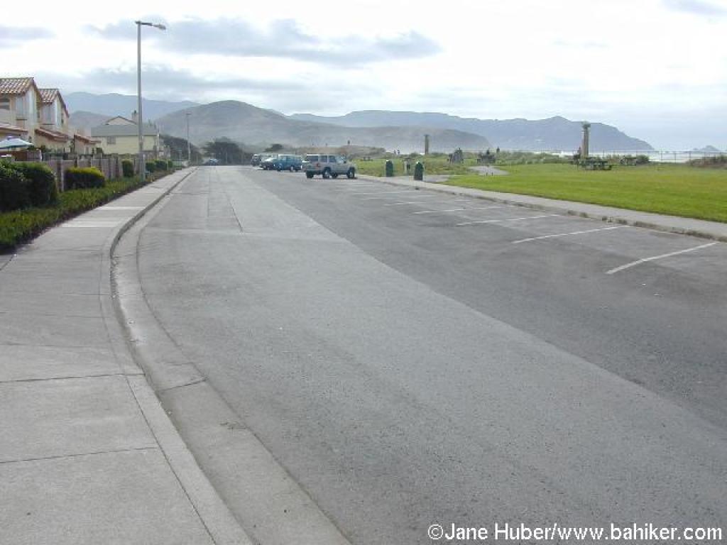 Parking along Beach Boulevard |
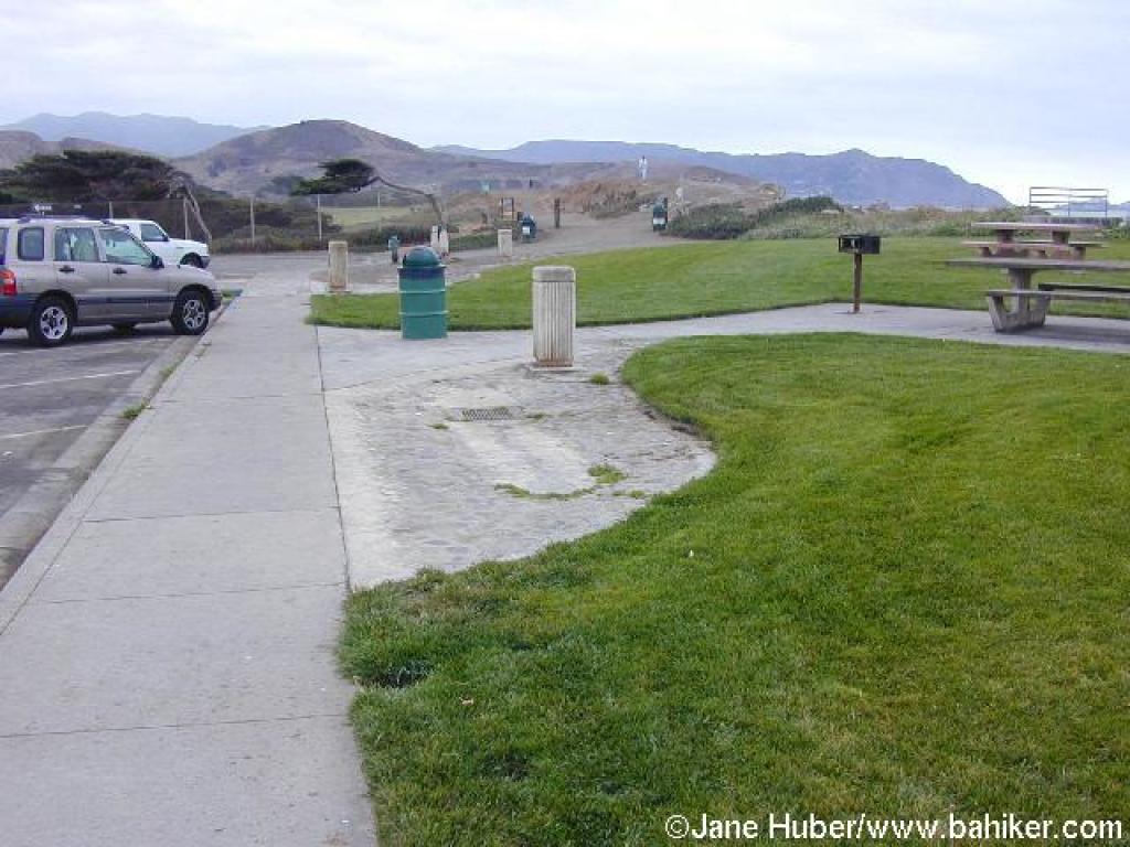 Start |
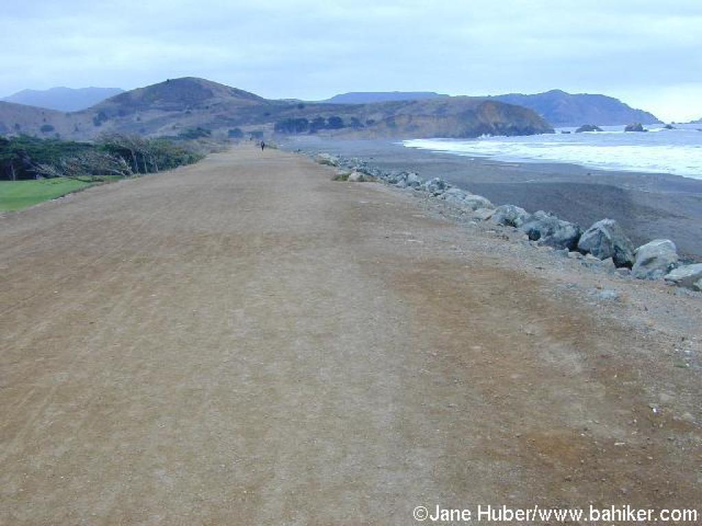
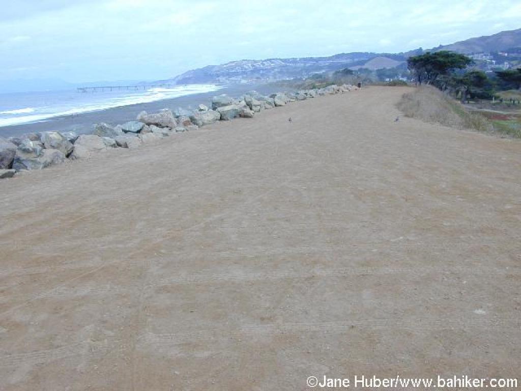
 Trail along the beach |
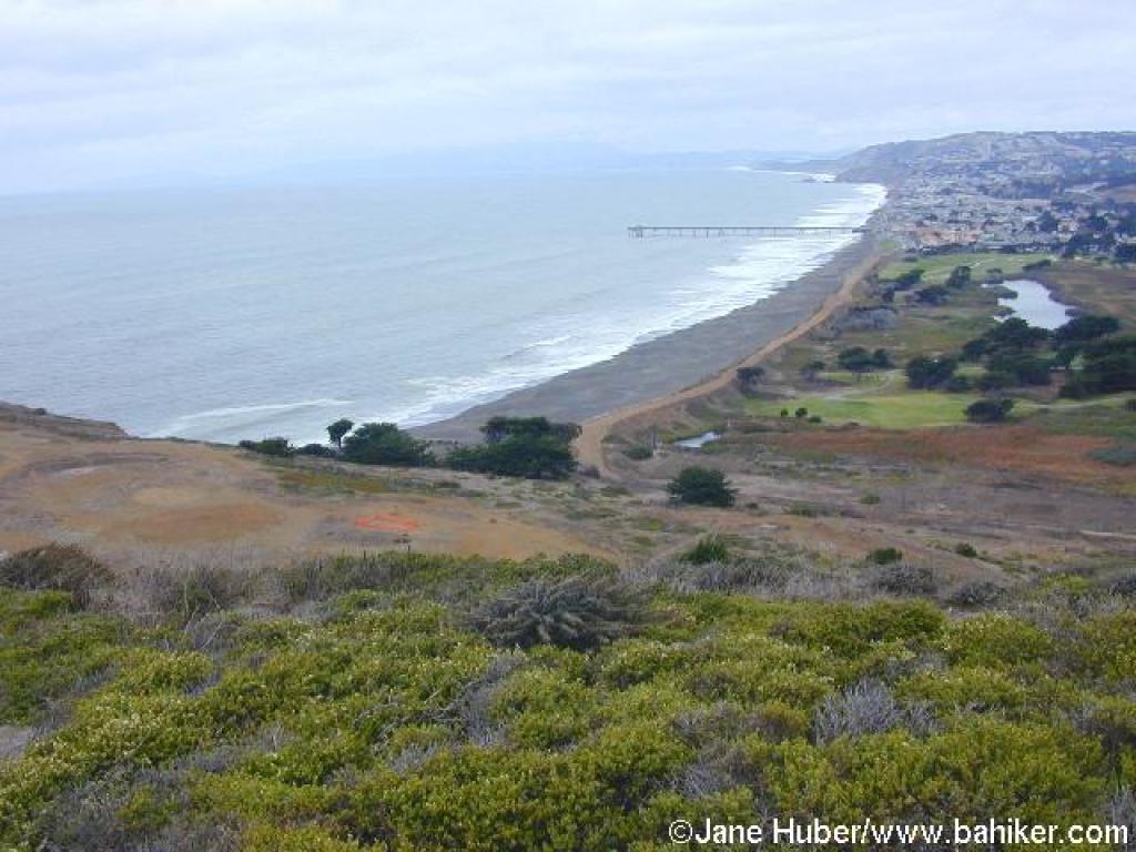
 View north to the fishing pier |
||||
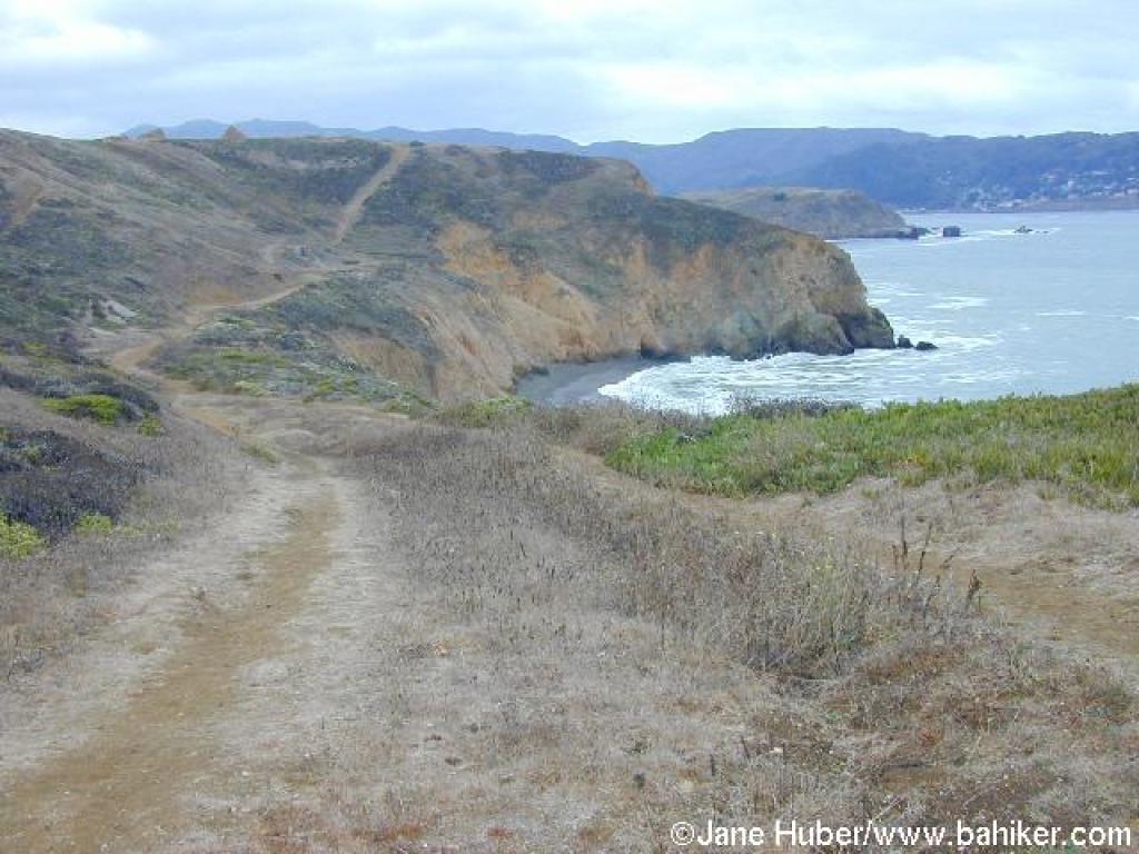
 From the trail, there are nice views south that include Mori Point |
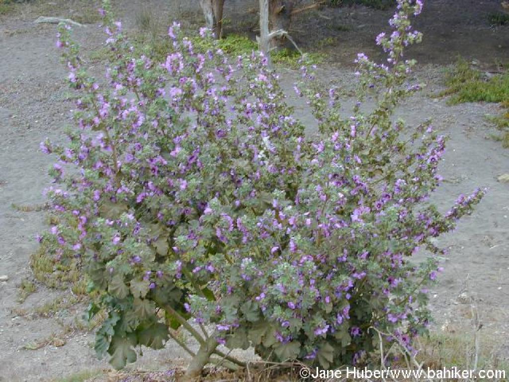 Mallow is a common weed along the trail |
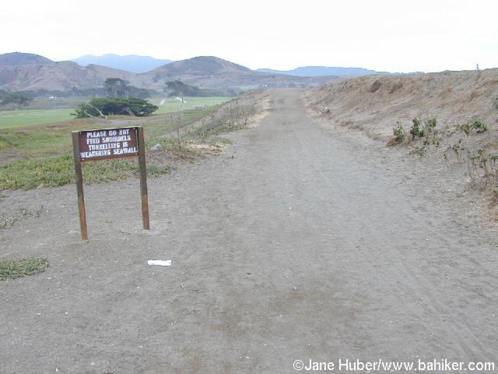
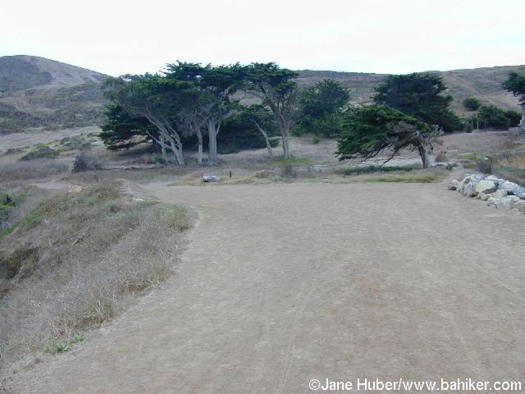
 Beach |
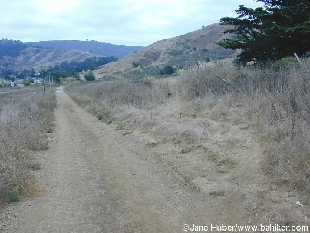
 Trail curves east |
||||
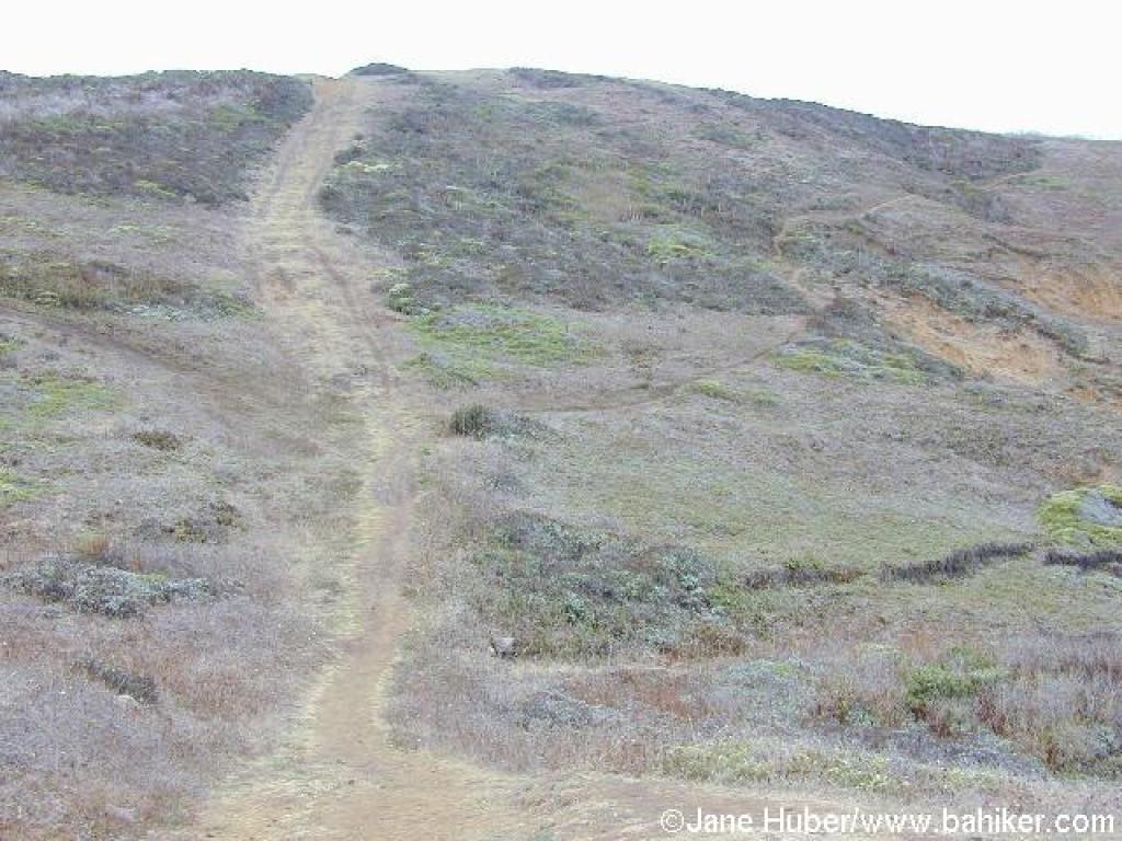
 Junction with a small path |
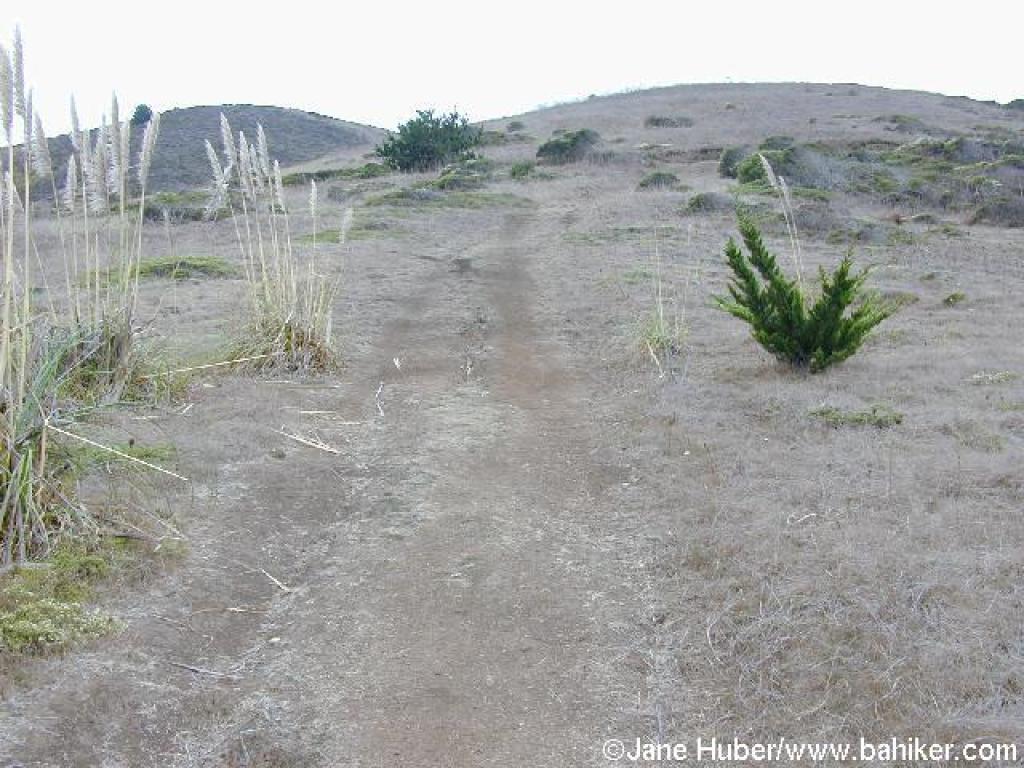 Ascending path |
 Trail heads west |
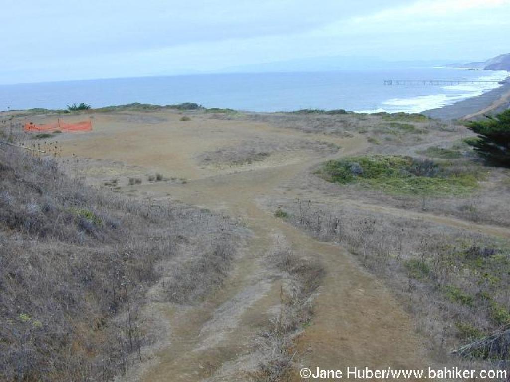
 Bluff |
||||
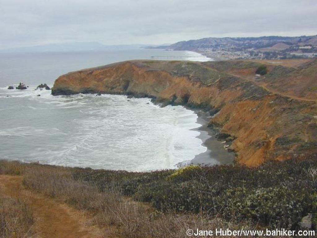
 View south |
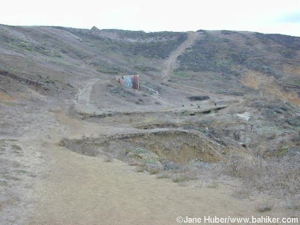 Slide area |
 Uphill |
 View north |
||||
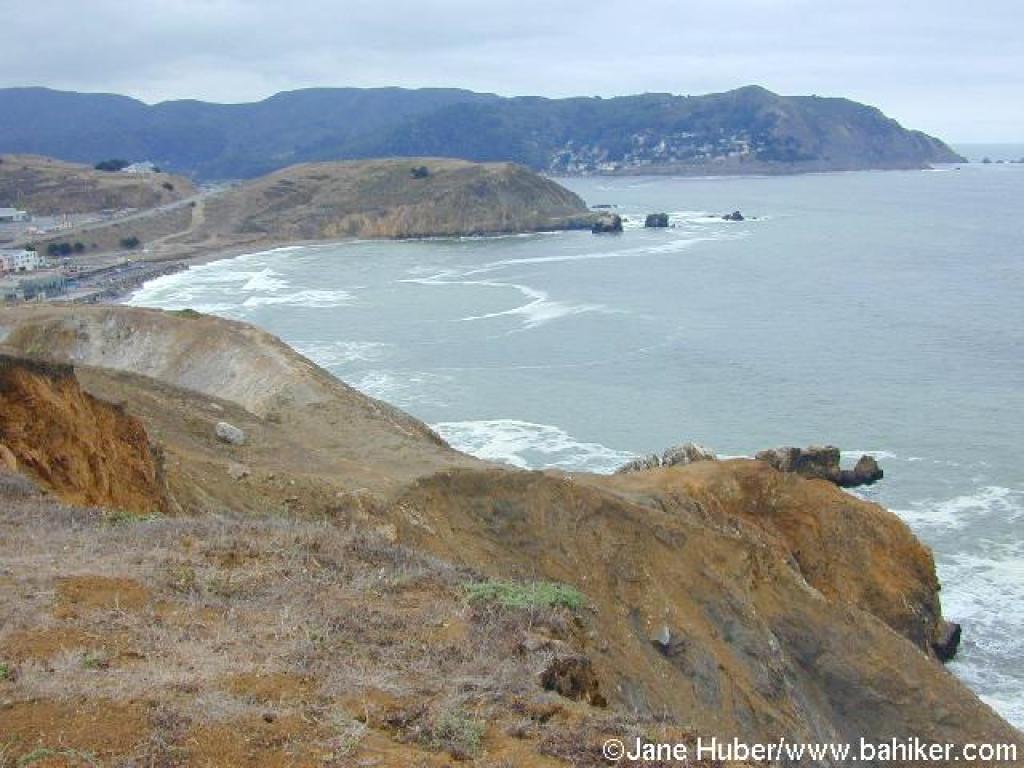 View south |
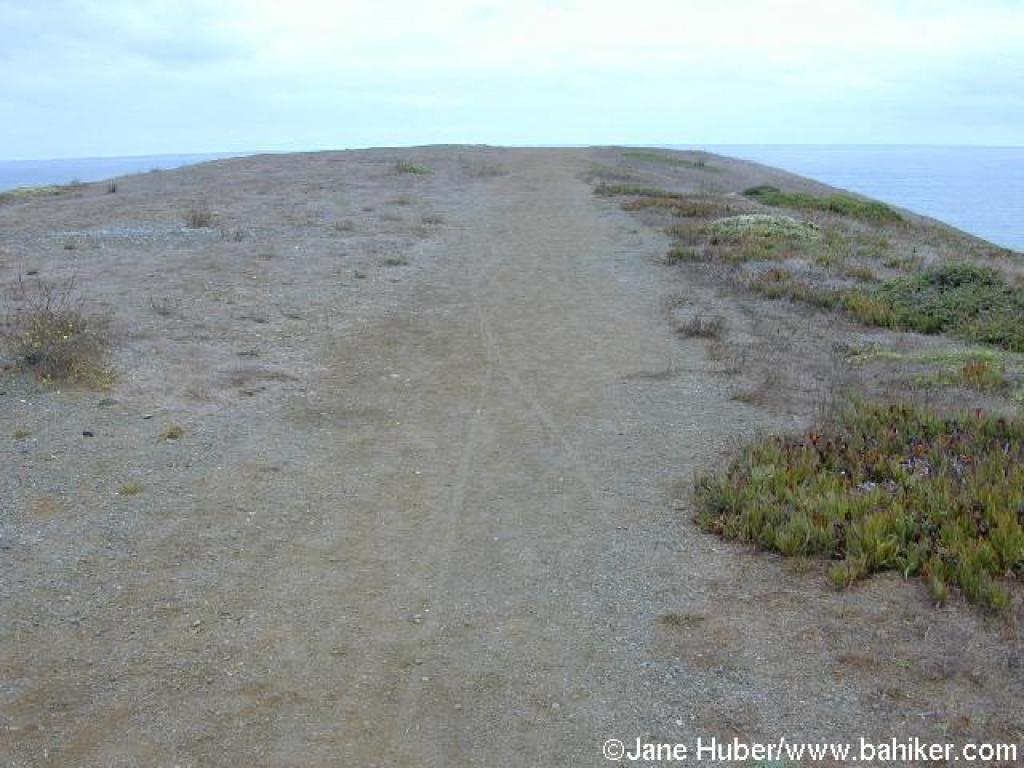
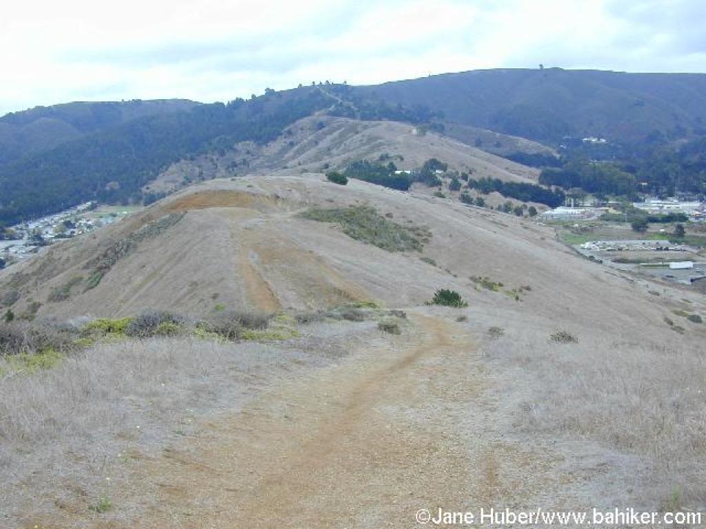
 Trail along the ridge |
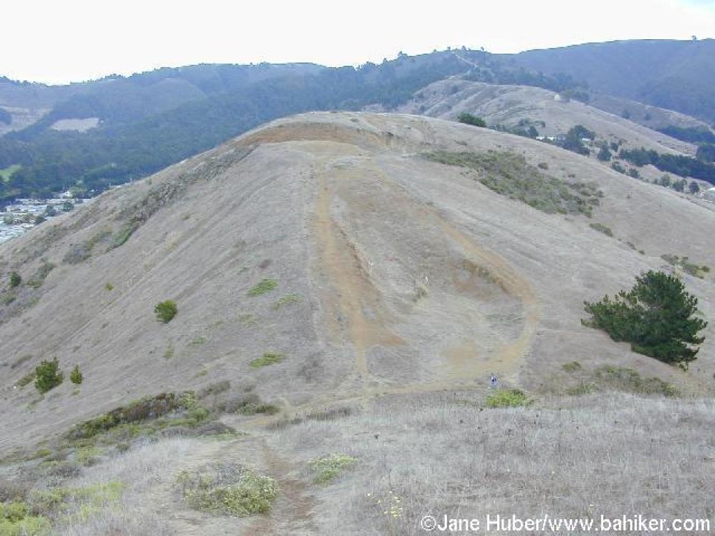
 Path to Mori Point's high point |
 View north |
||||
 View east to Sweeney Ridge |
 Downhill |
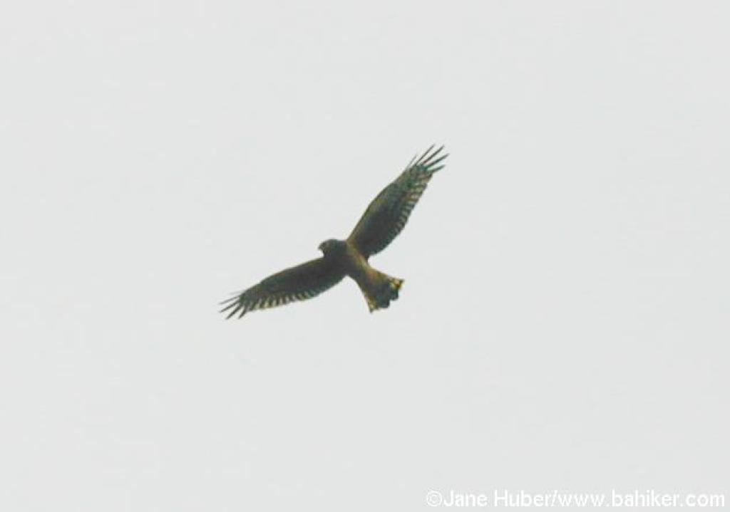 Northern harrier |
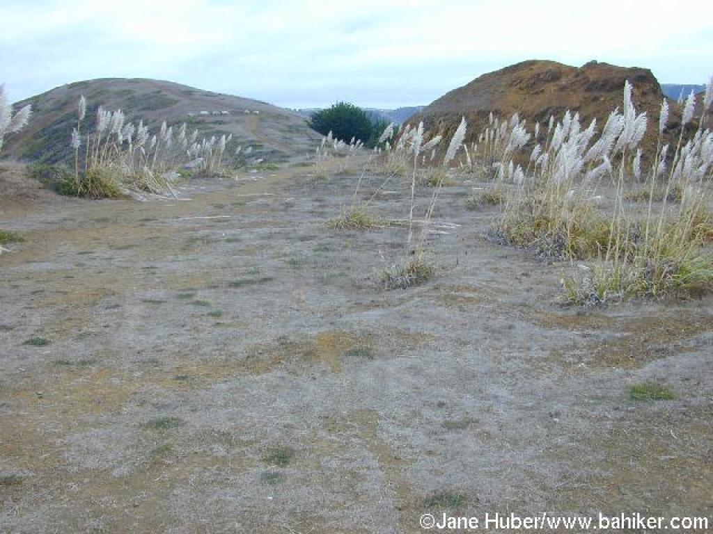
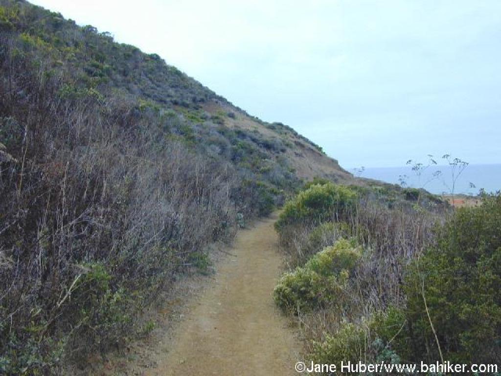 Trail across a hillside |
||||
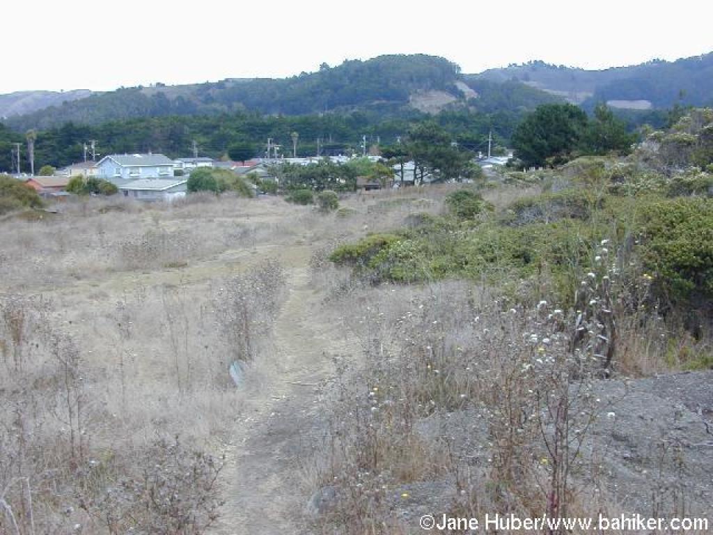
 Junction |
 Descending path |
 Path connecting to fire road |
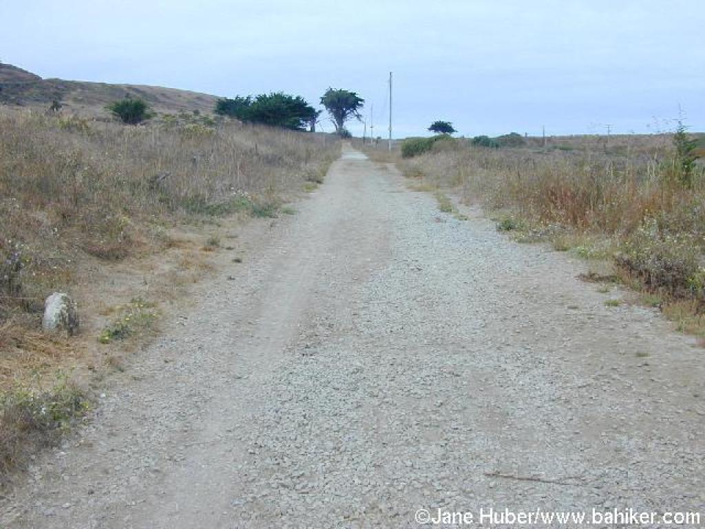 Returning |
||||
 Returning |
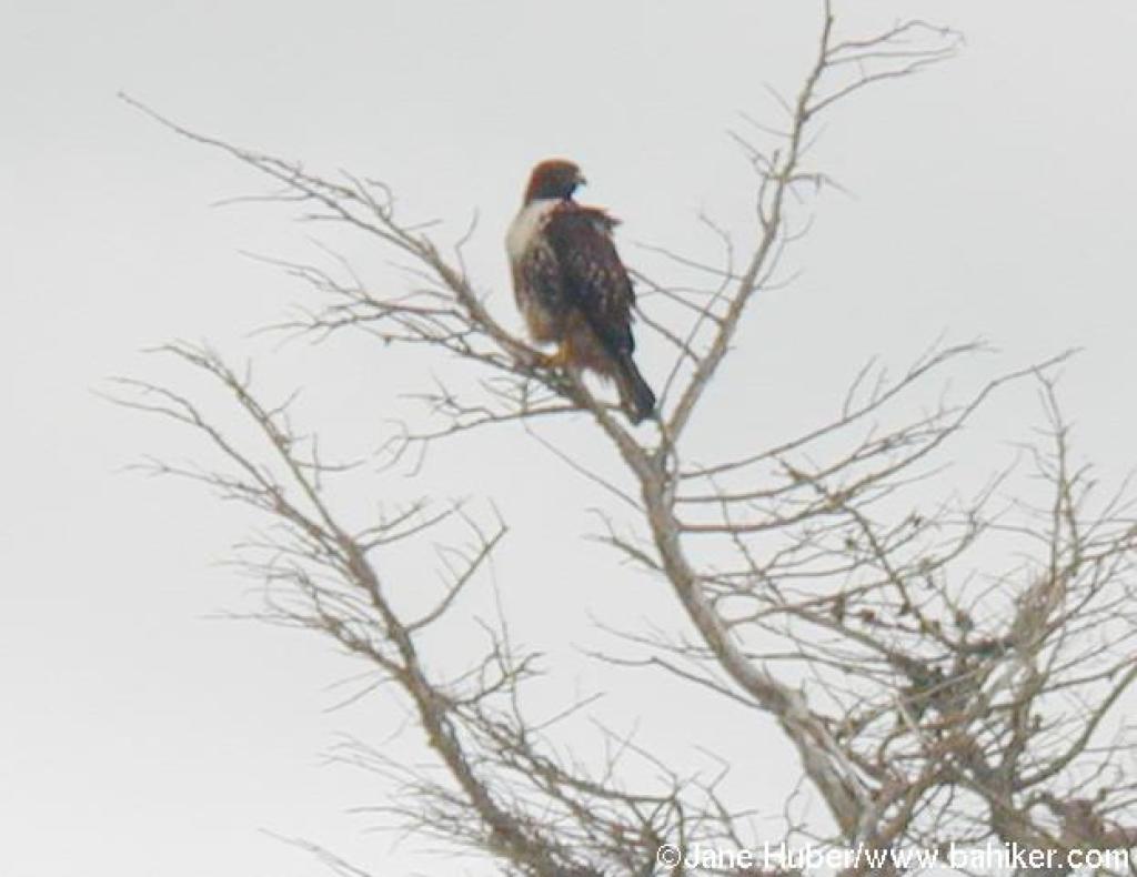 Hawk in a tree in the golf course |
Go to Bay Area Hiker Mori Point page Go to Bay Area Hiker Home page |
|||||