| Photos
from a September 2002 hike at Mount Madonna County Park (click on any image for a larger view) |
|||||||
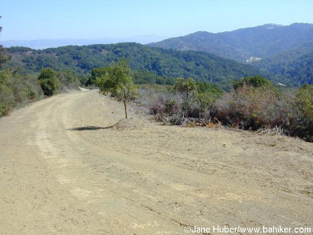
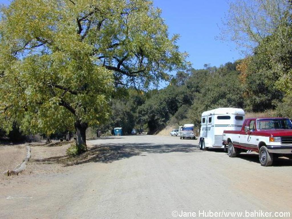 Side of road parking |
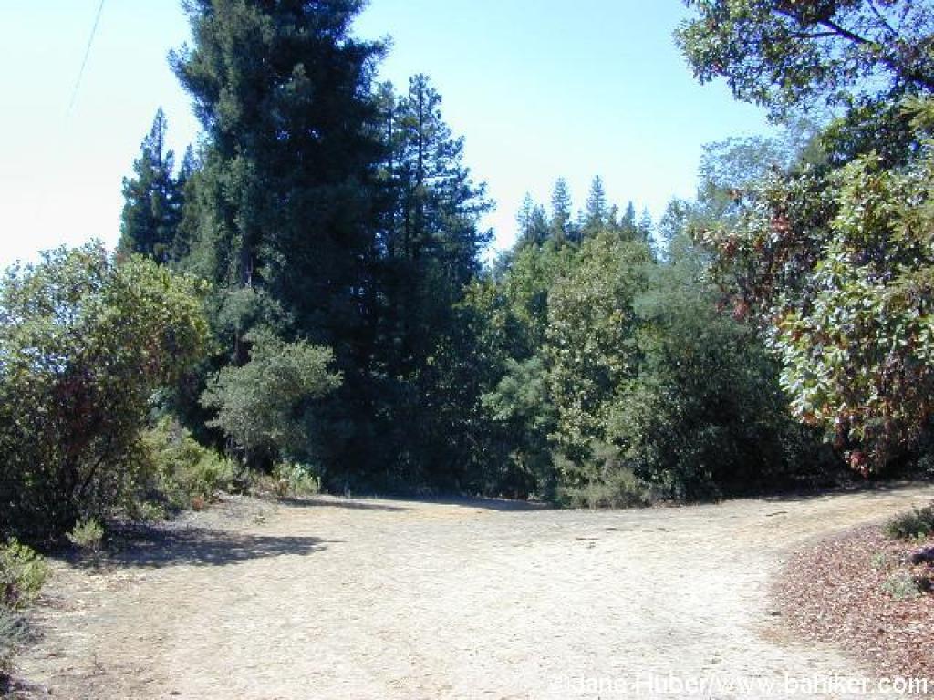
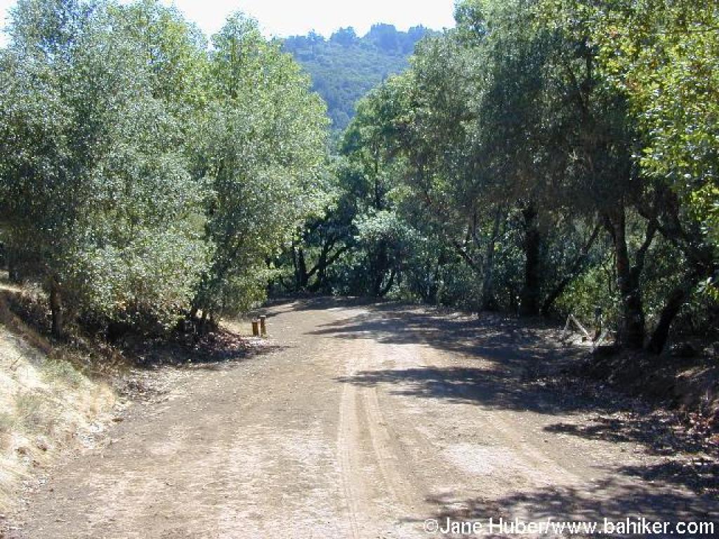
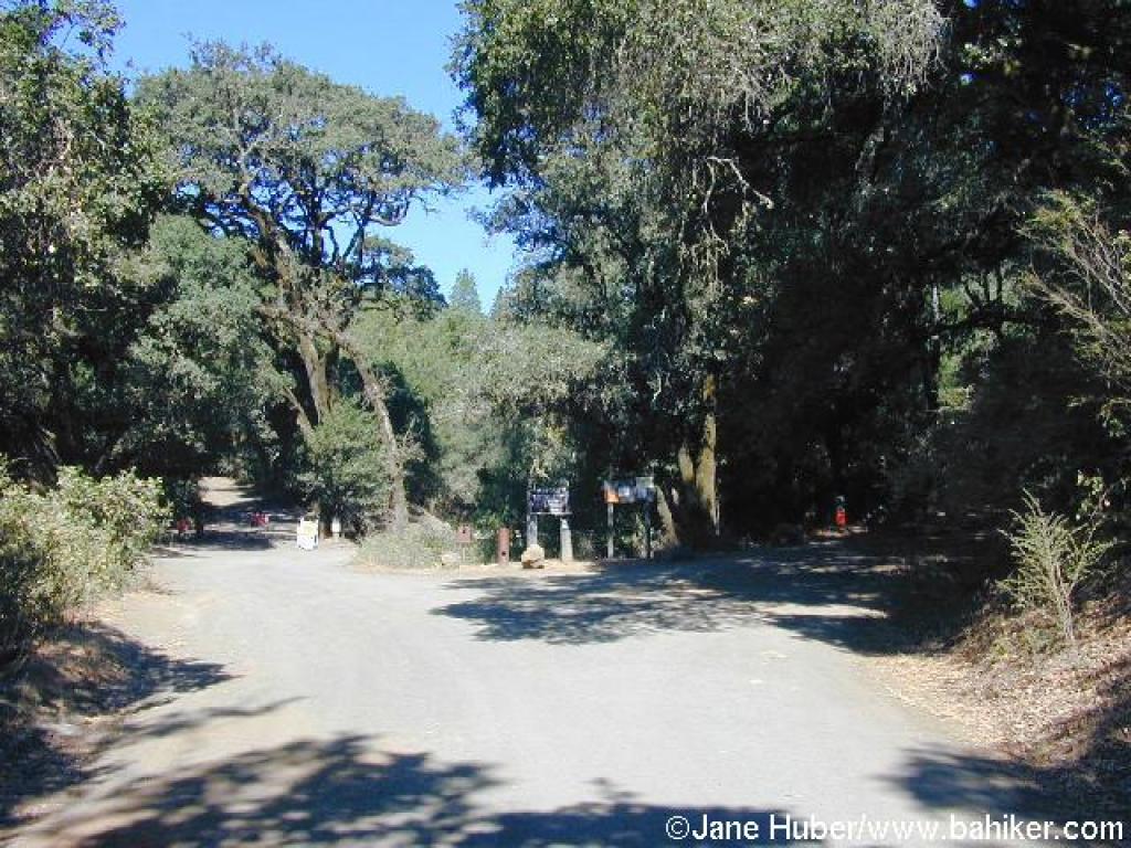 Trailhead, at the end of the road |
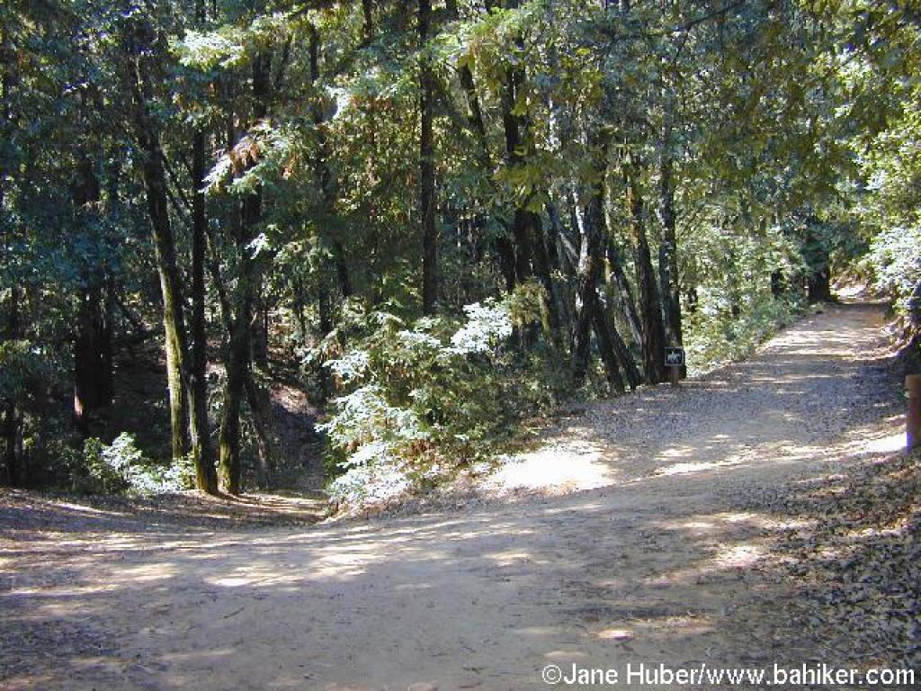
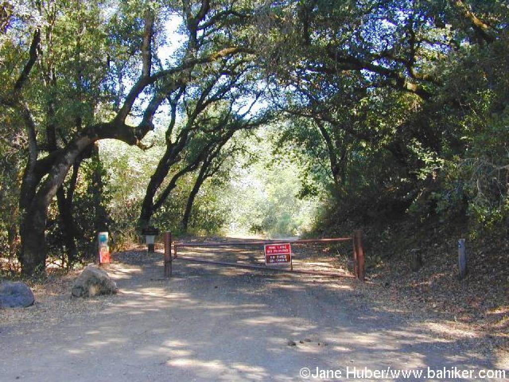 Start of Merry Go Round Trail |
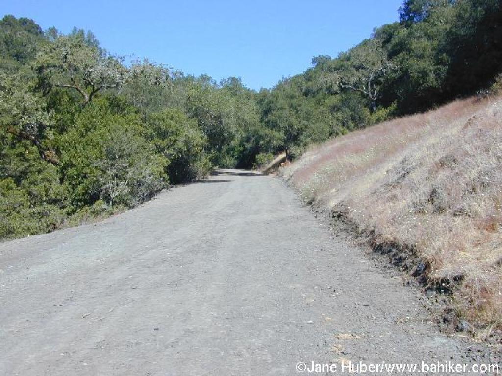 Some grassland |
||||
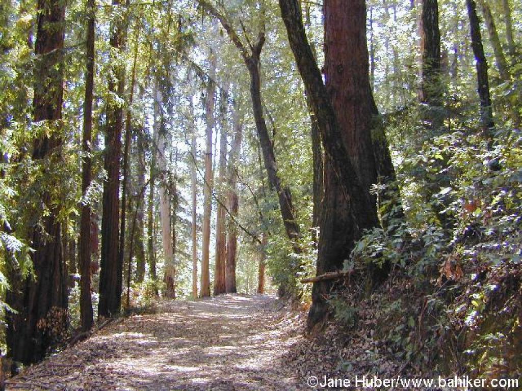
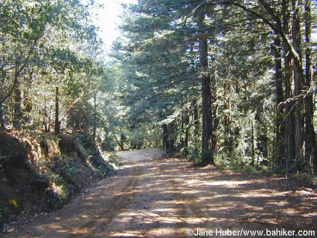
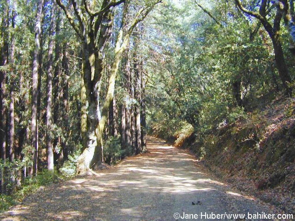 Redwoods along the trail |
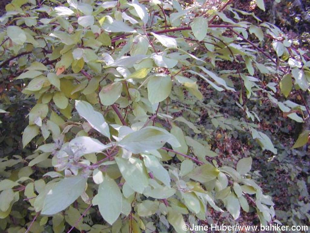 Dogwood |
 Climbing through woods |
 Reaching grassy slopes |
||||
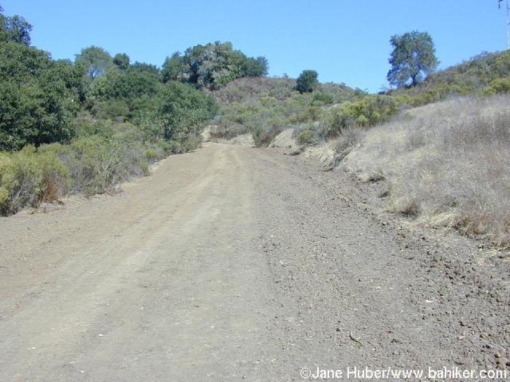 Grassland and chaparral |
 A level ridge |
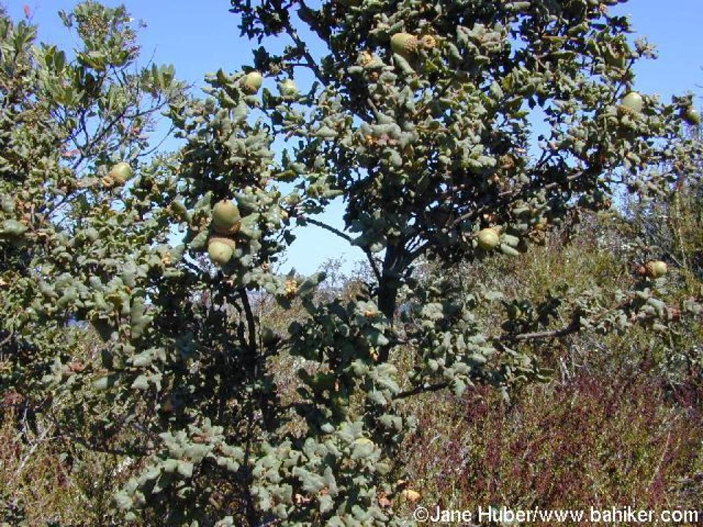 Scrub oak |
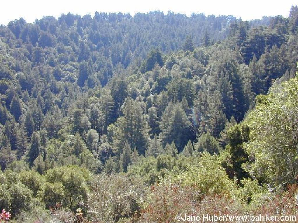
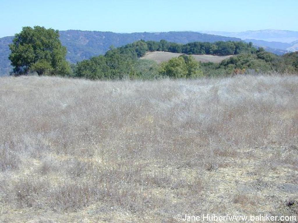 View northeast |
||||
 View southwest |
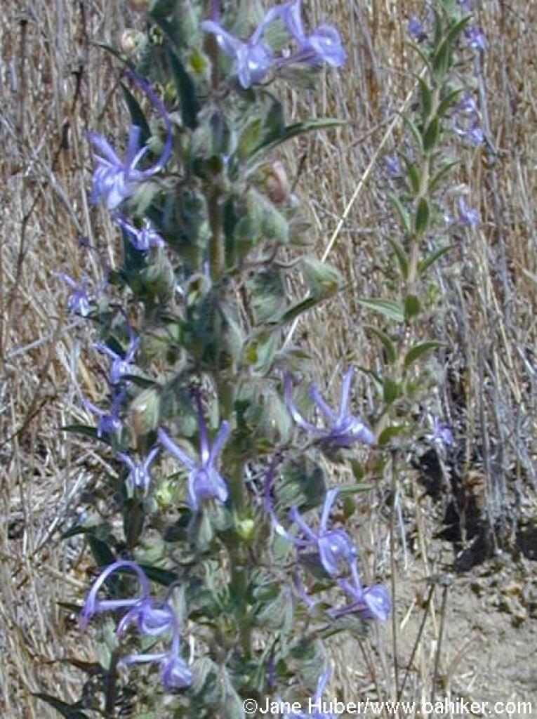 Vinegarweed |
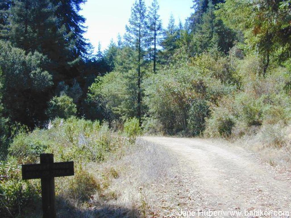
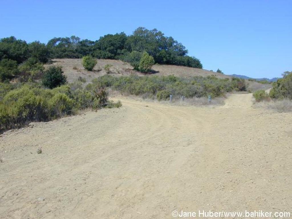 Junction with Old Mine Trail |
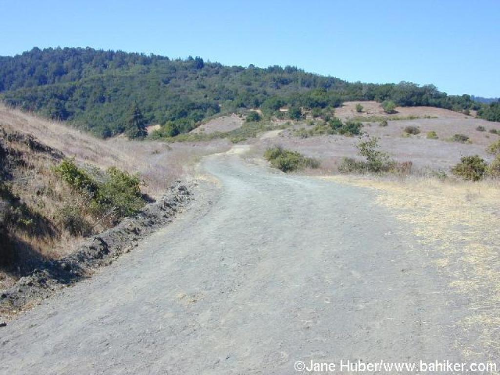
 Merry Go Round Trail |
||||
 Junction with Tie Camp Trail |
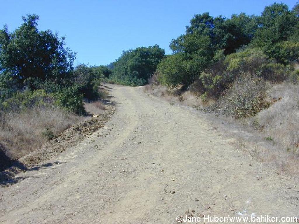
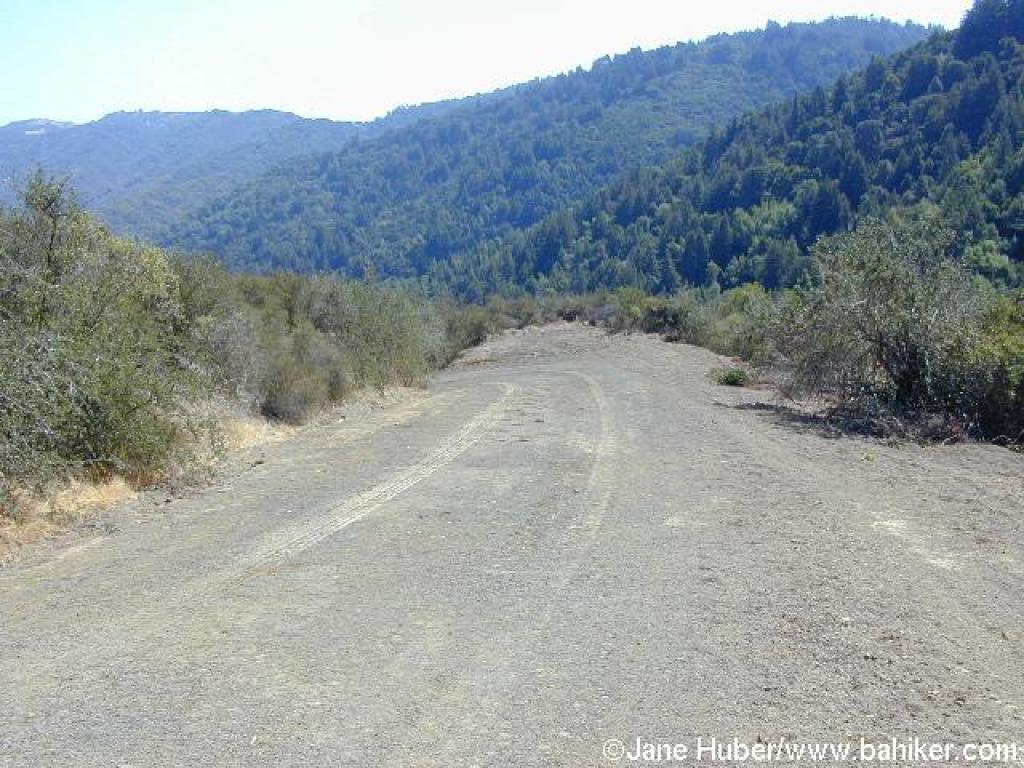
 A steep climb |
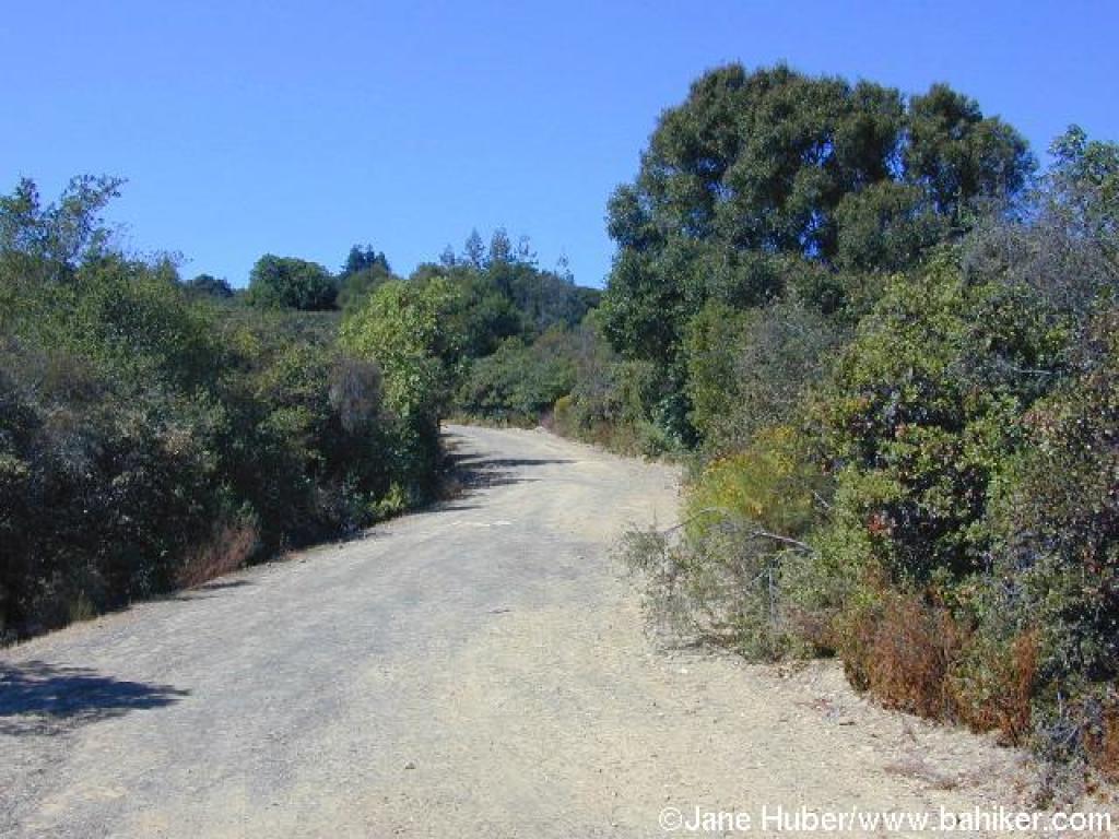
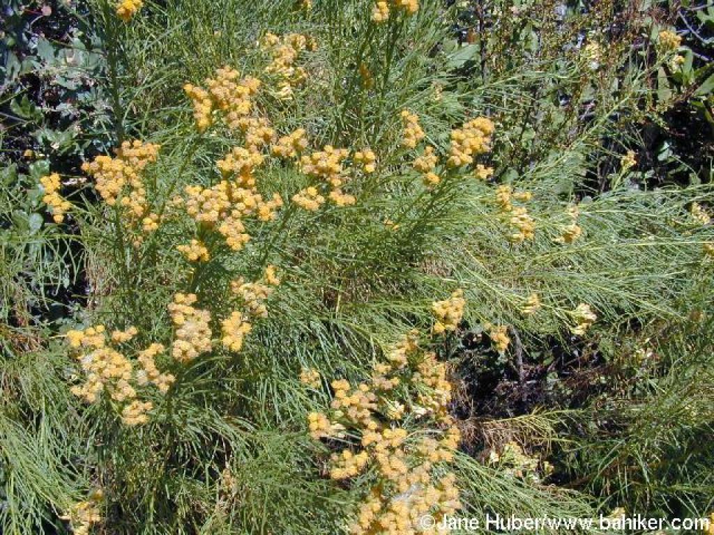 Goldenfleece |
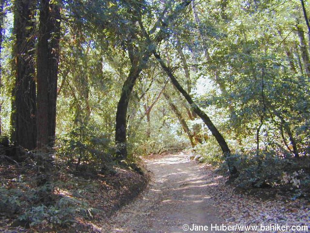 Woods |
||||
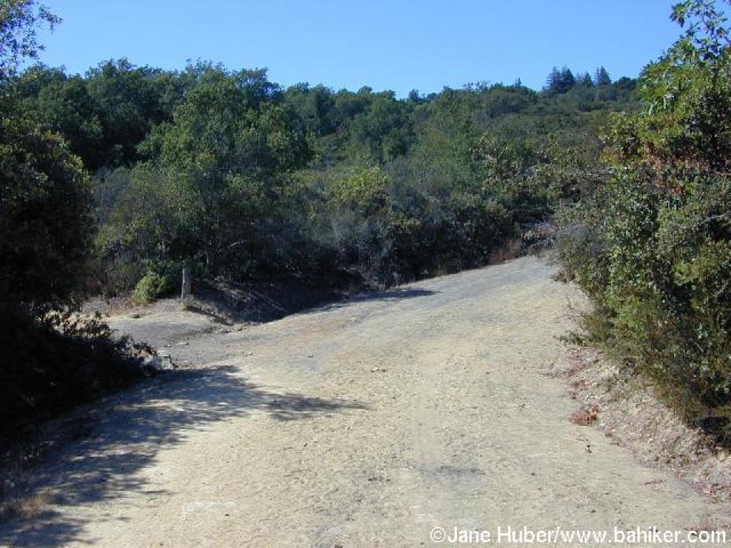
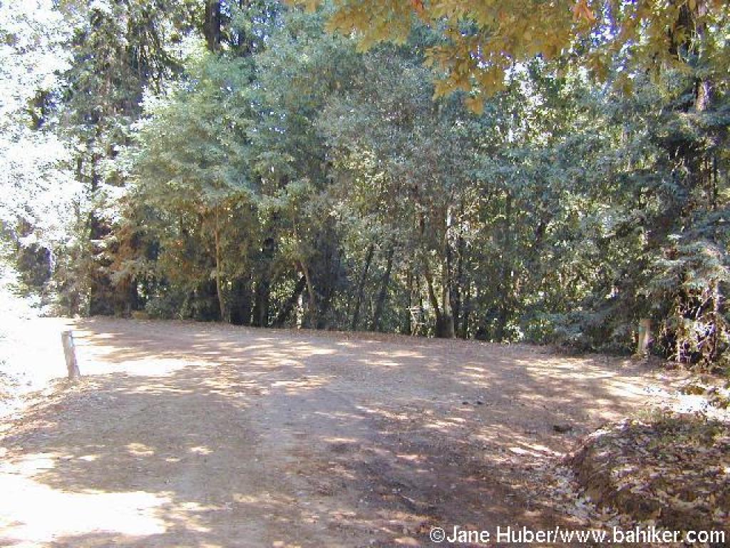
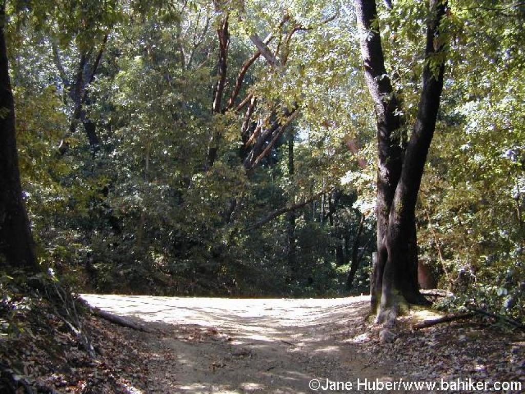 Junction |
 Loop Trail |
 Junction with Tan Oak Trail |
 Loop Trail |
||||
 Junction with Lower Miller Trail |
 Junction with Upper Miller Trail |
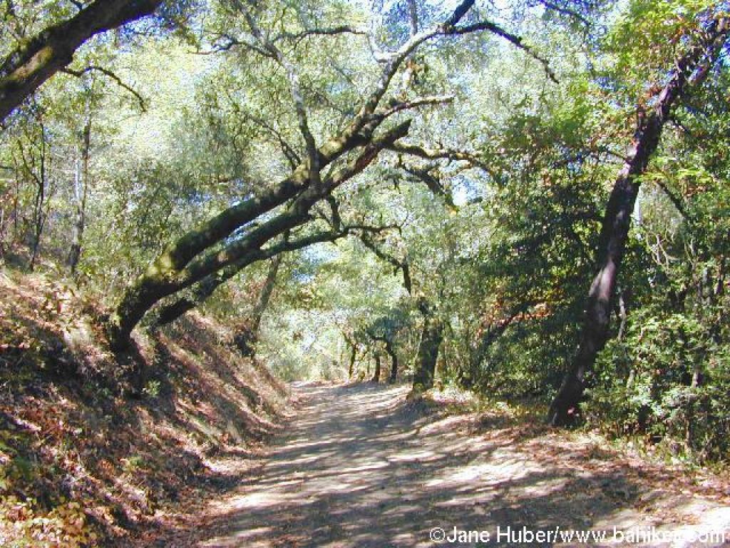
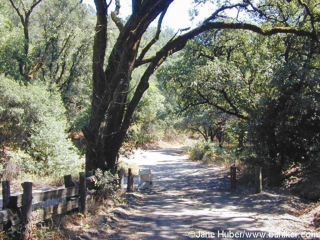
 Redwoods and eucalyptus trees along the trail |
 Sign warns visitors to stay on the trail: there's an archery range to the right |
||||
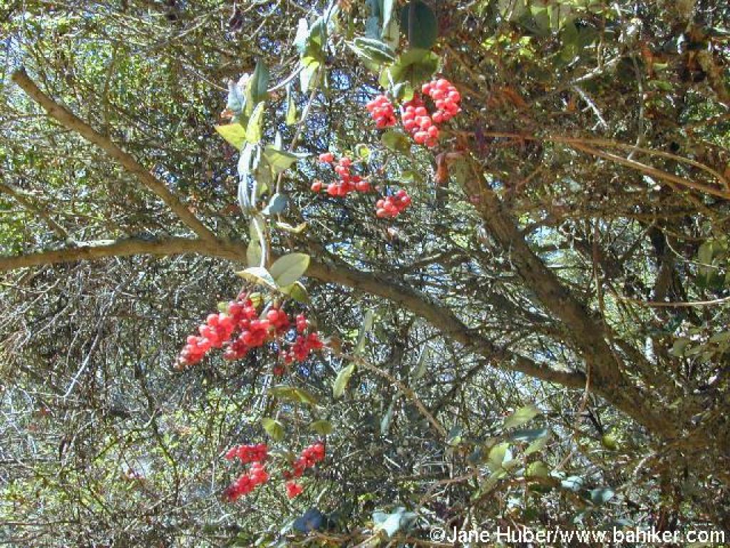 Honeysuckle berries |
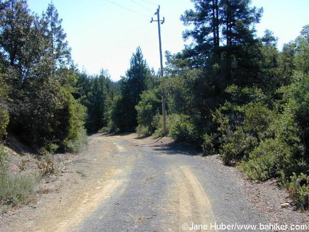
 Trail follows utility line |
 Junction |
 Ridge Trail |
||||
 Coyote |
 Descending through woods |
 Junction with Contour Trail |
 Ridge Trail |
||||
 View |
 Chaparral |
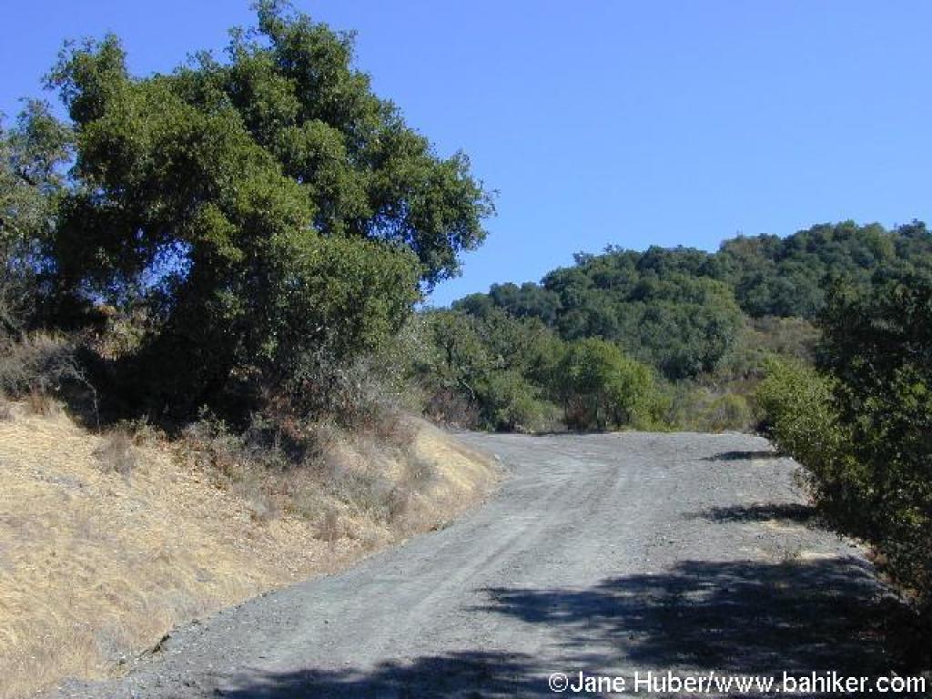
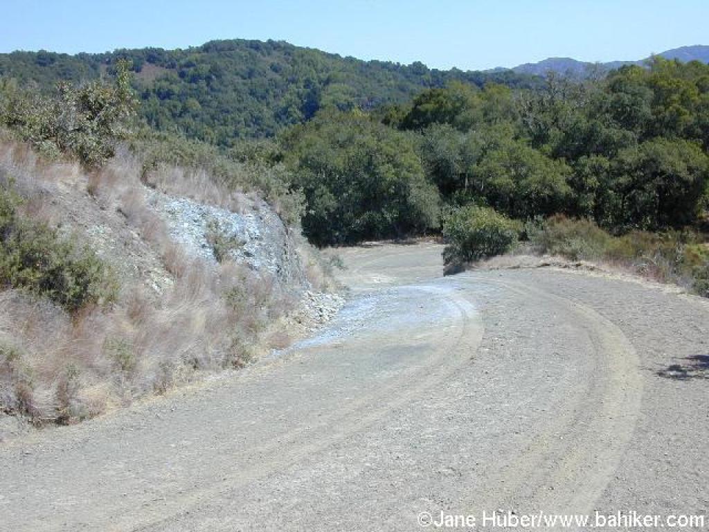
 Sharp steep corner |
 Descending |
||||
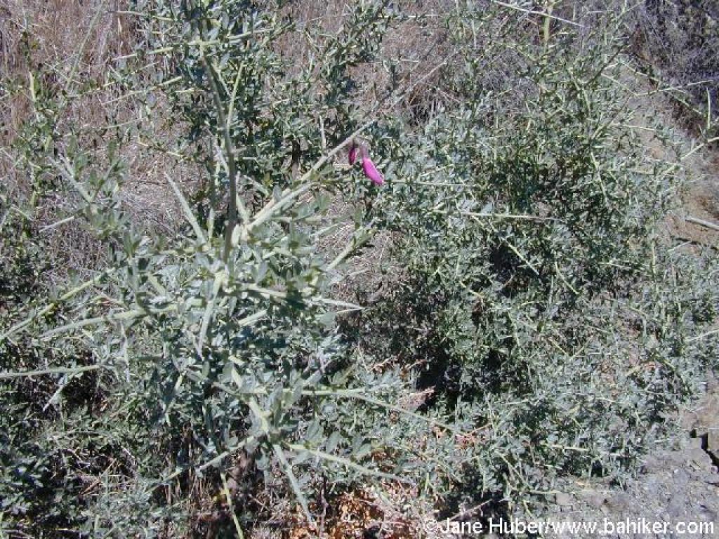 Chaparral pea |
 Junction with Blackhawk Trail |
 Ridge Trail |
 End of the trail |
||||
Go to Bay Area Hiker Mount Madonna page Go to Bay Area Hiker Home page |
|||||||