| Photos
from October 2000 and 2002 hikes at St. Joseph's Hill Open Space Preserve (click on any image for a larger view) |
|||||||
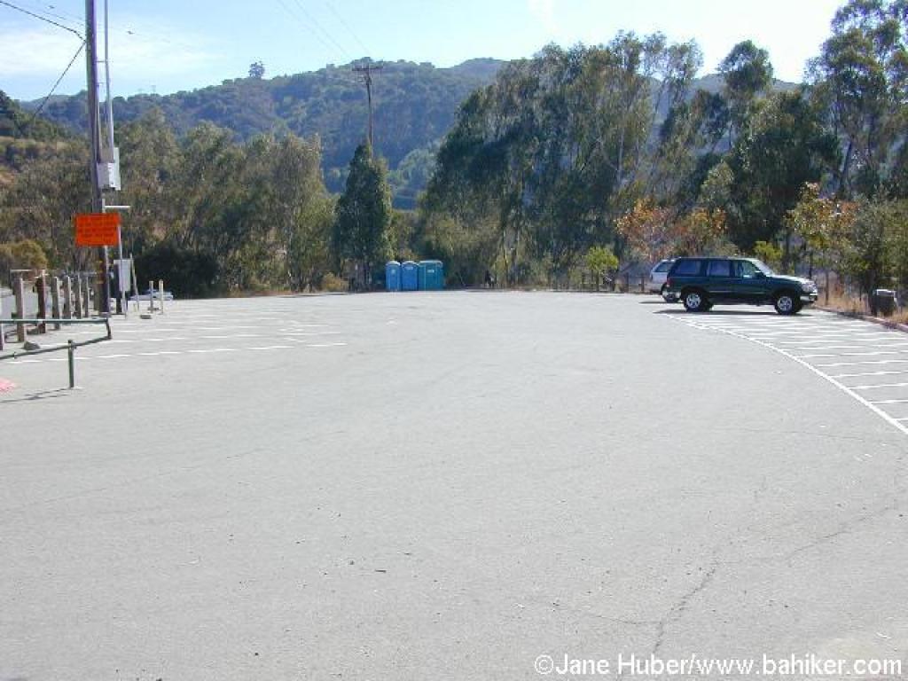 Trailhead |
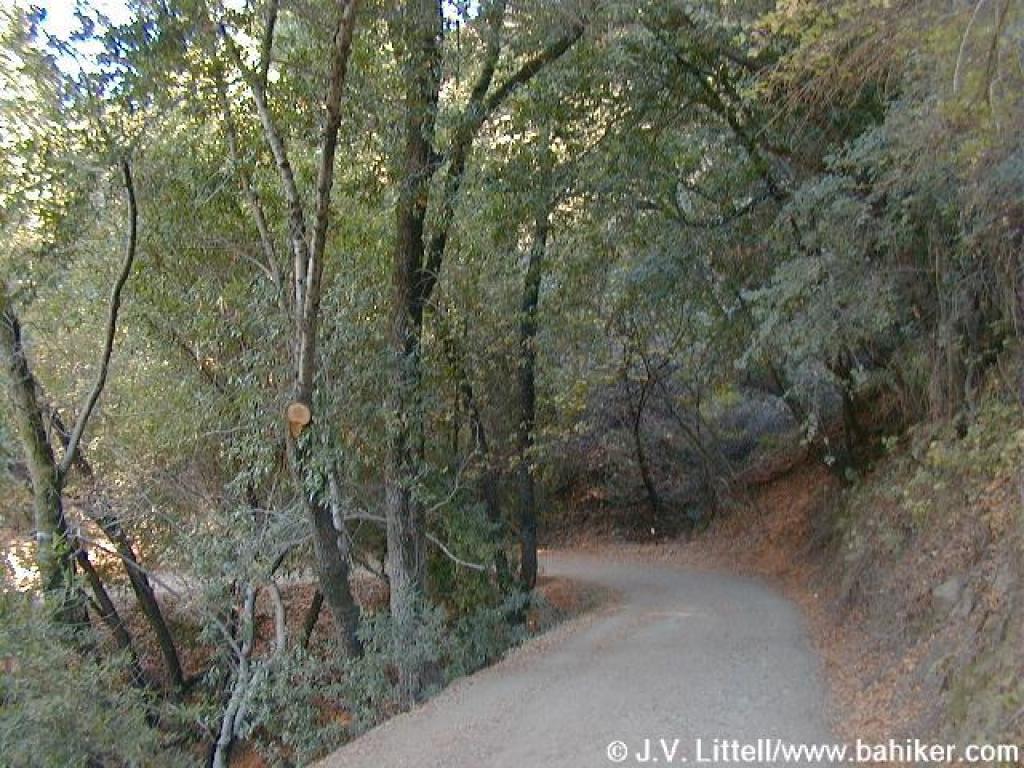
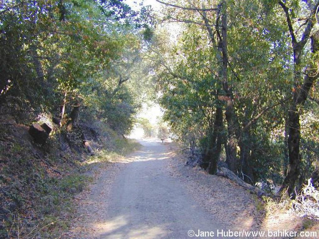
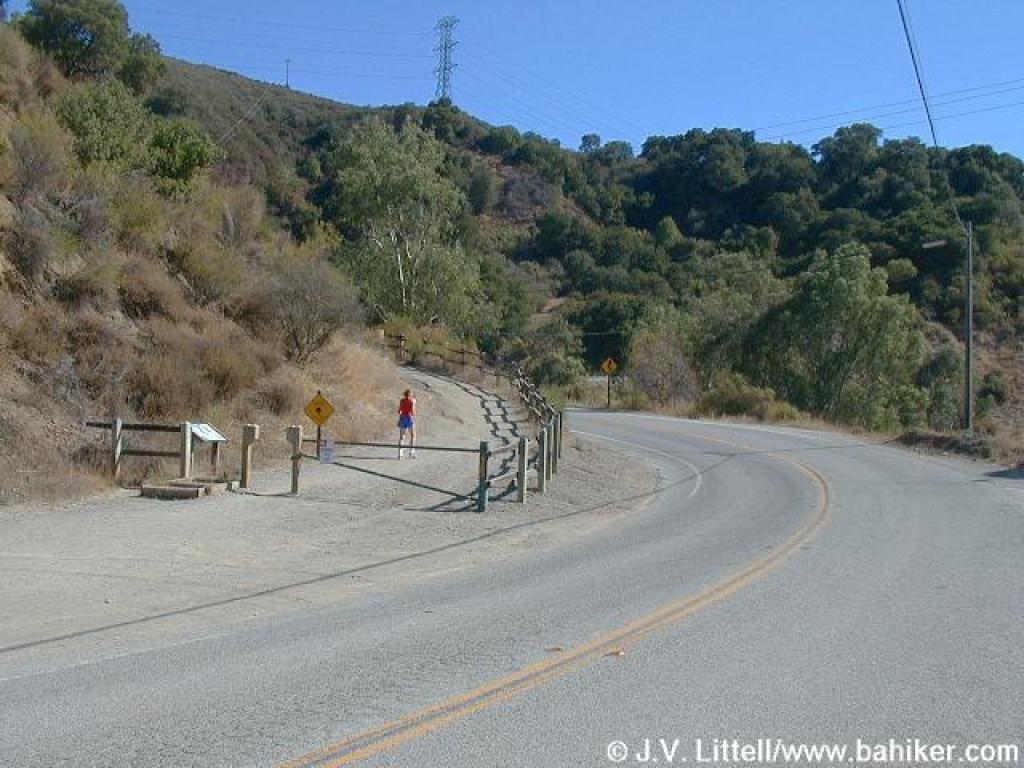 Start of the trail, seen from the edge of the parking lot |
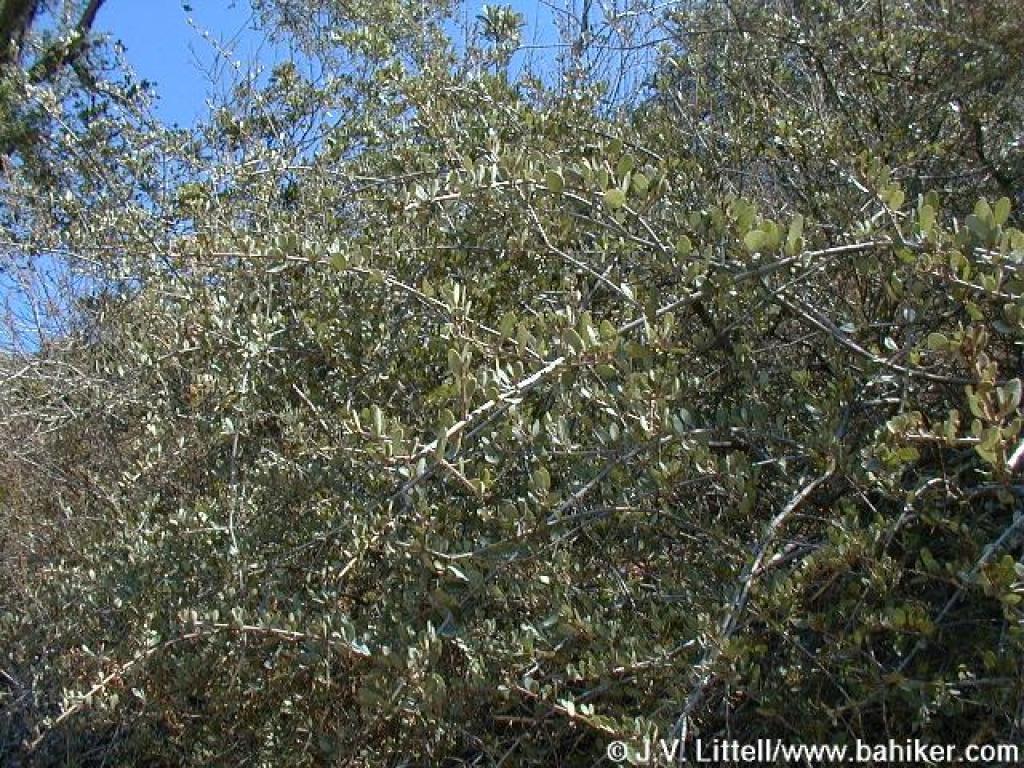
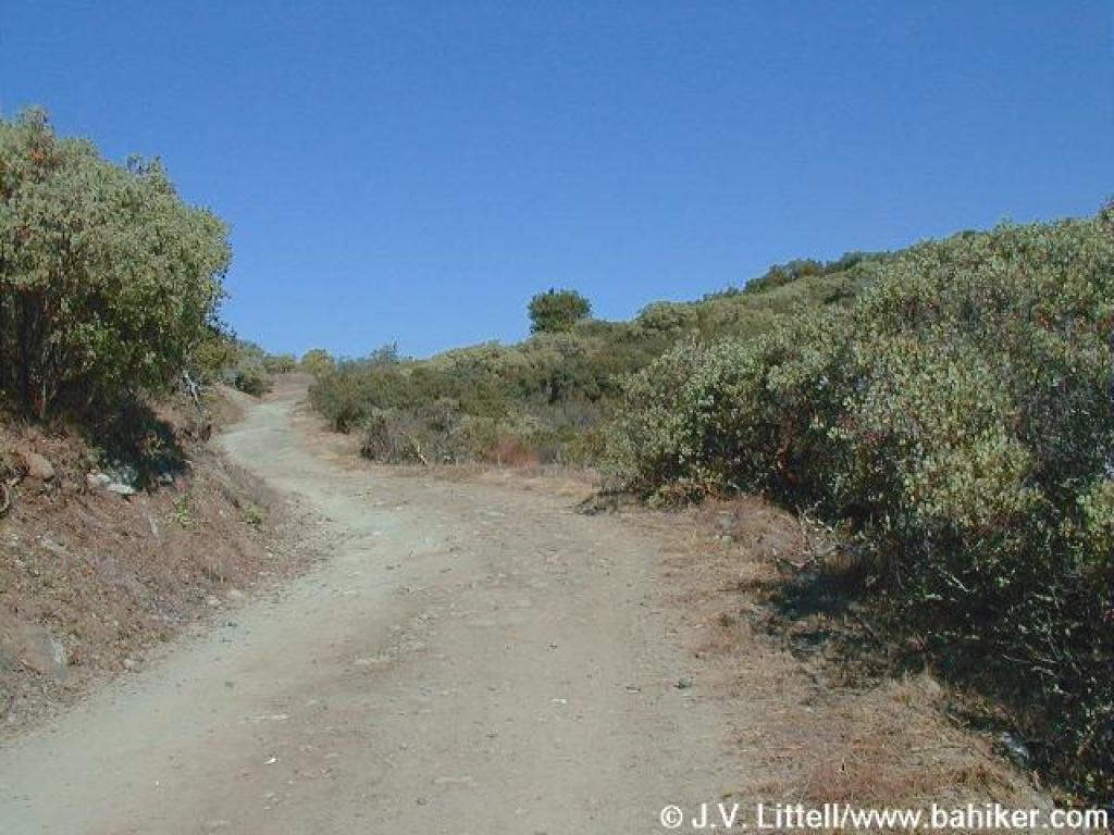
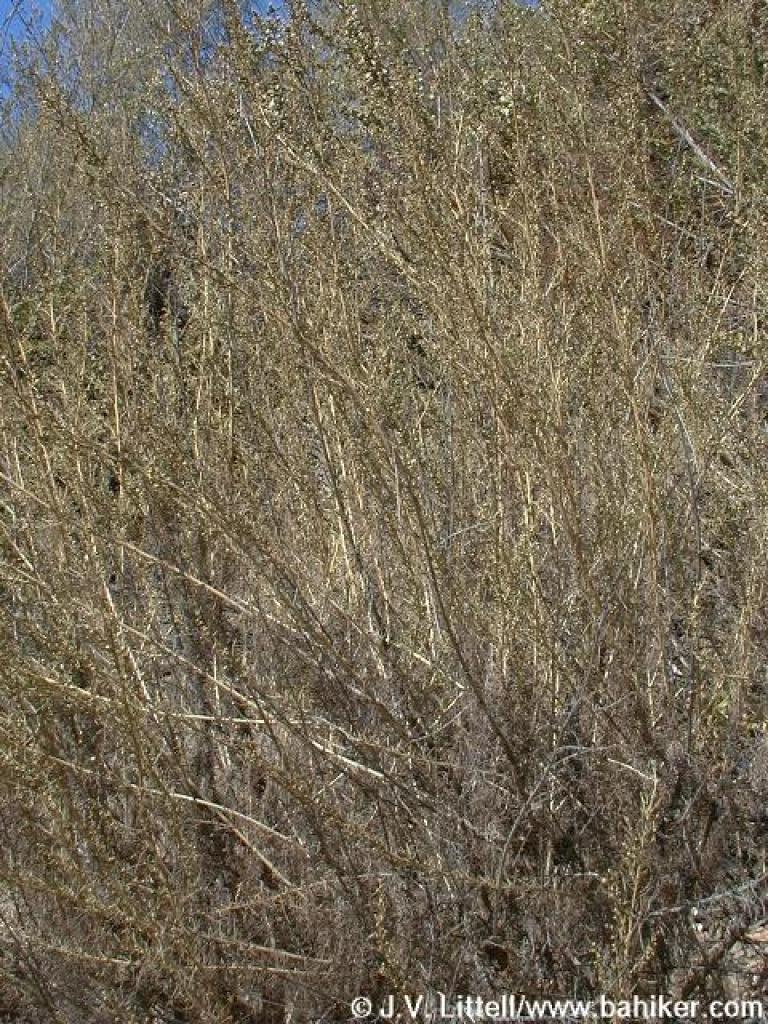 Very dry sagebrush |
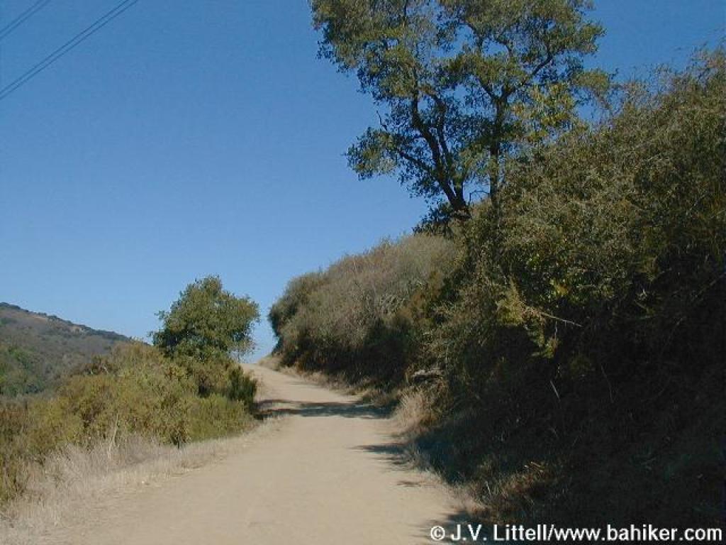
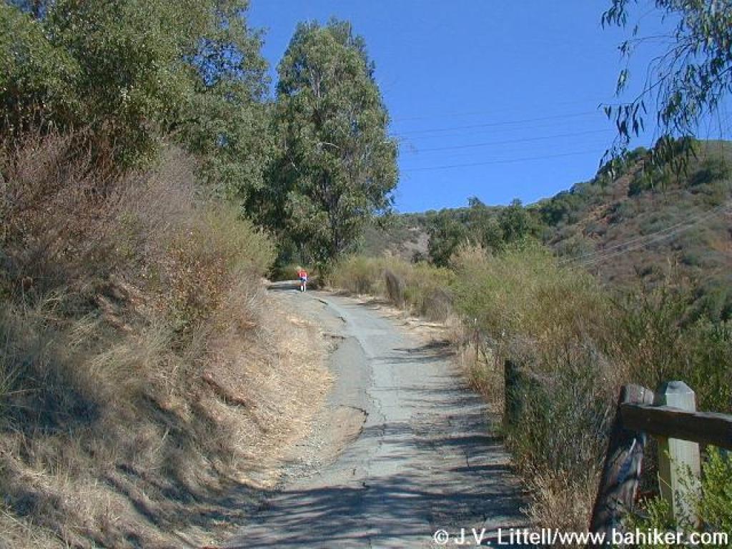 The steepest section is the first stretch |
||||
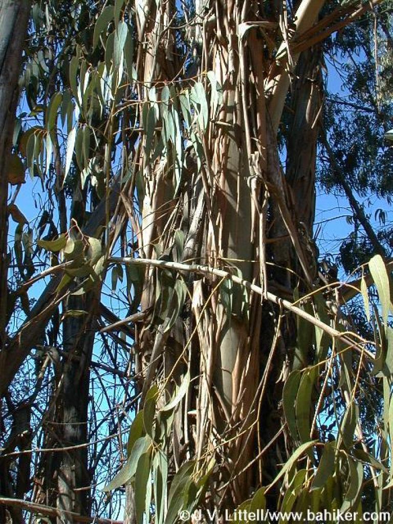 Eucalyptus |
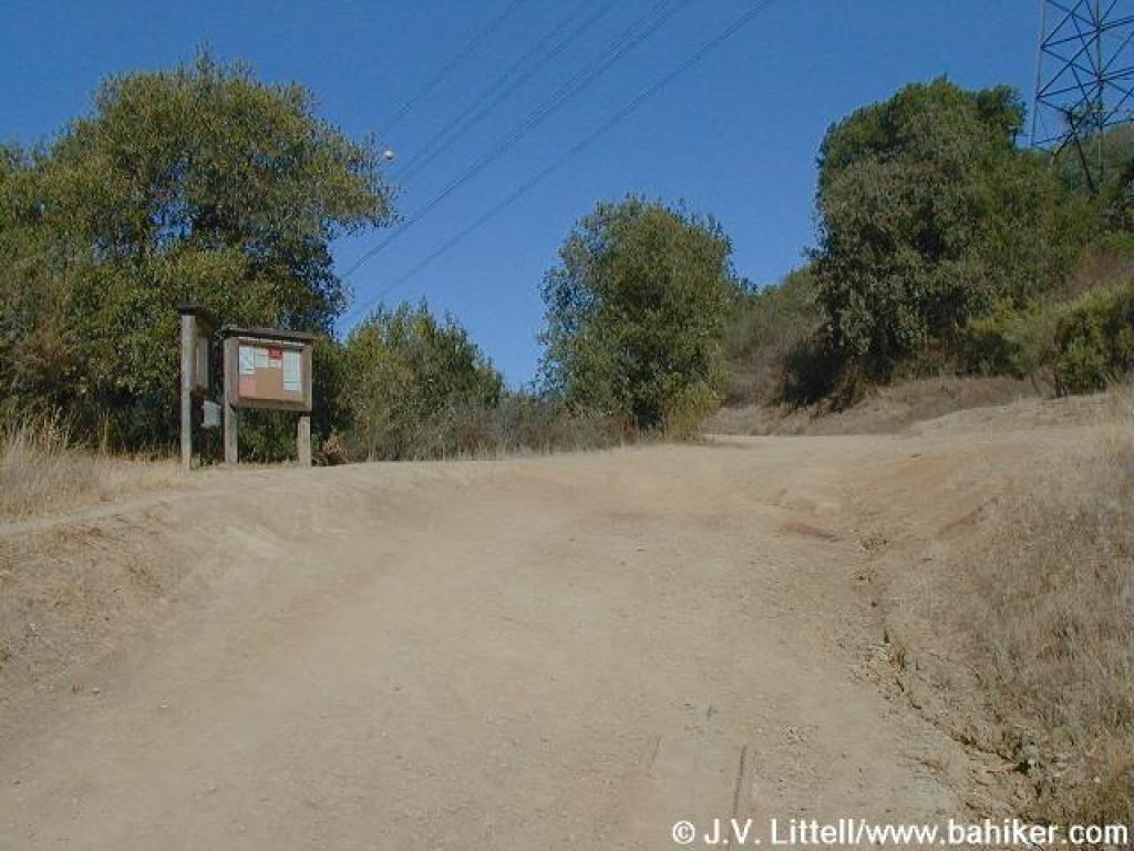 MROSD signboard |
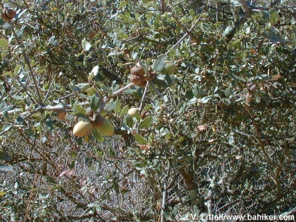 Scrub oak |
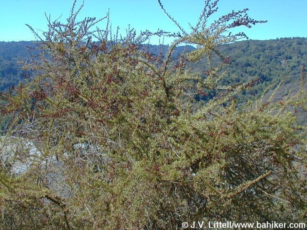 Chamise |
||||
 Climbing parallel to Highway 17 |
 Cercocarpus |
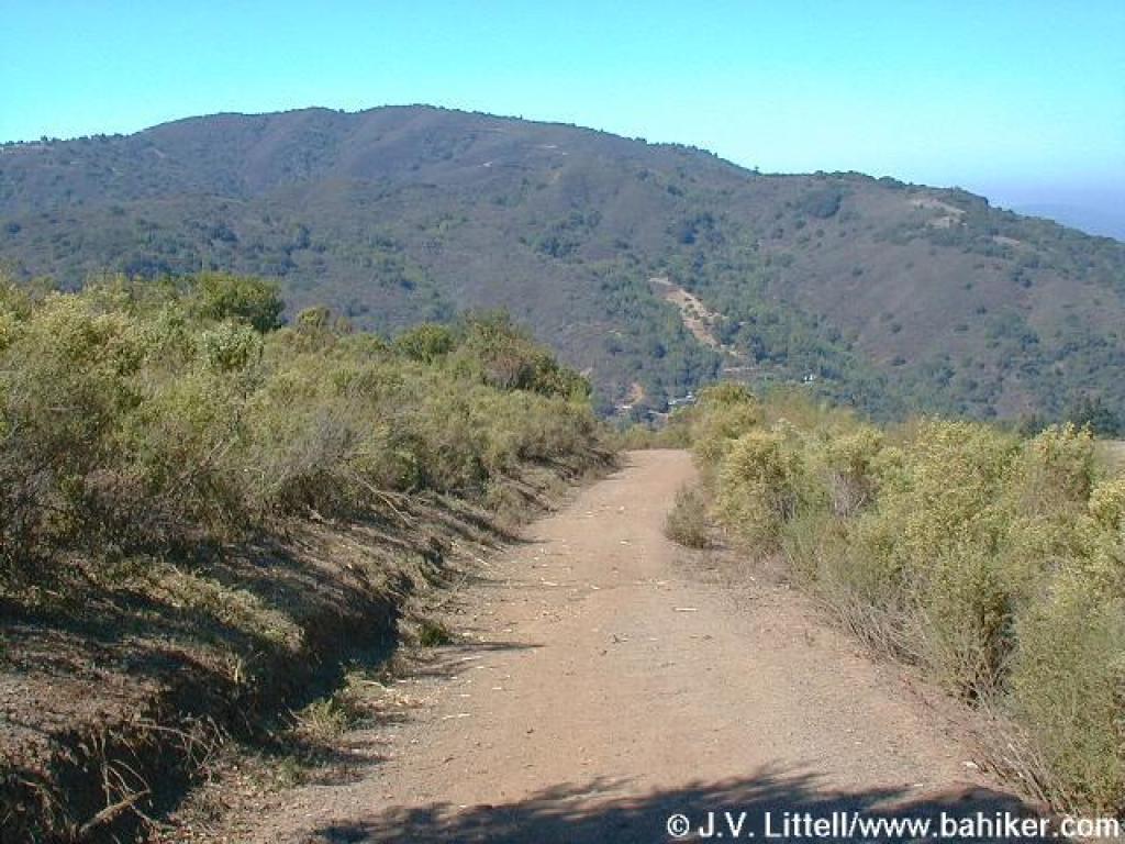
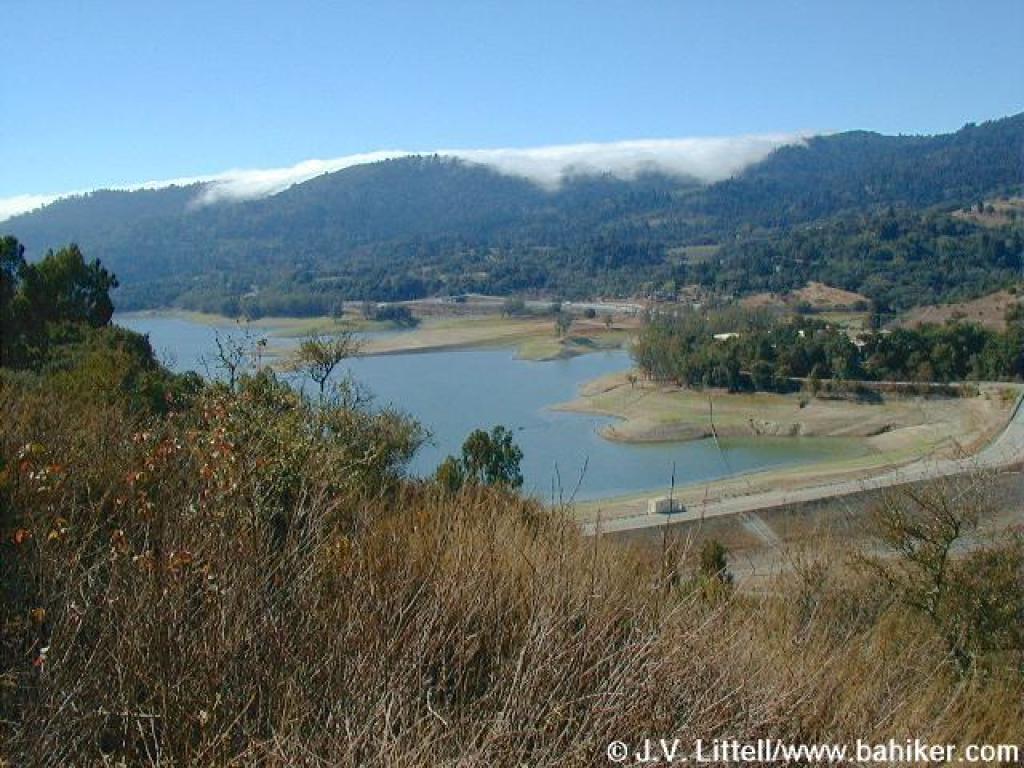 View back down to Lexington Reservoir |
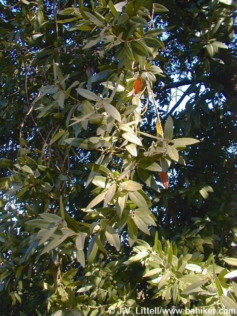 California bay |
||||
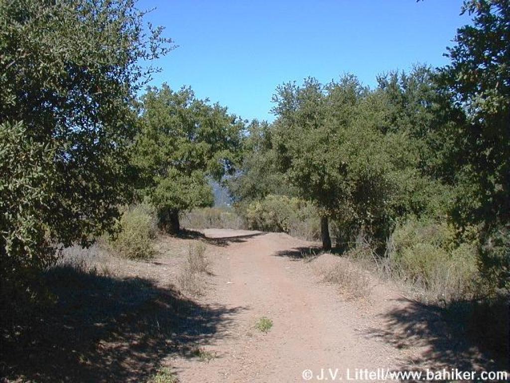
 Shaded section |
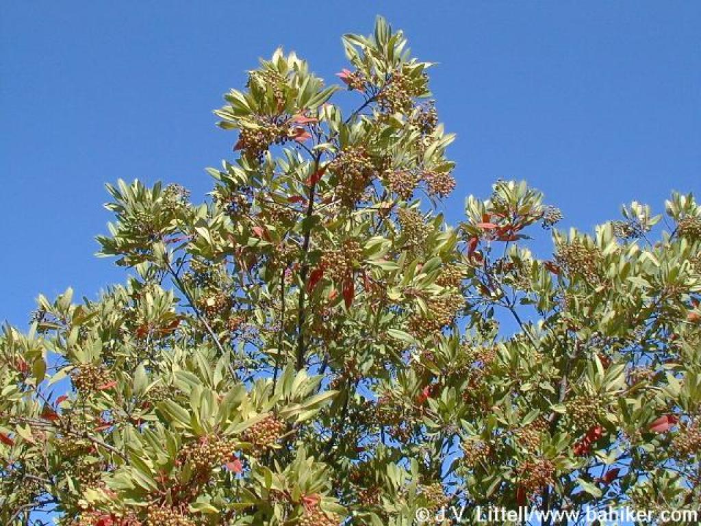
 Toyon |
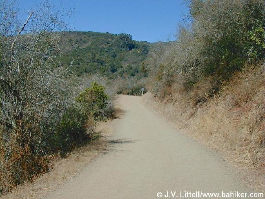 Approaching the border between county and MROSD lands |
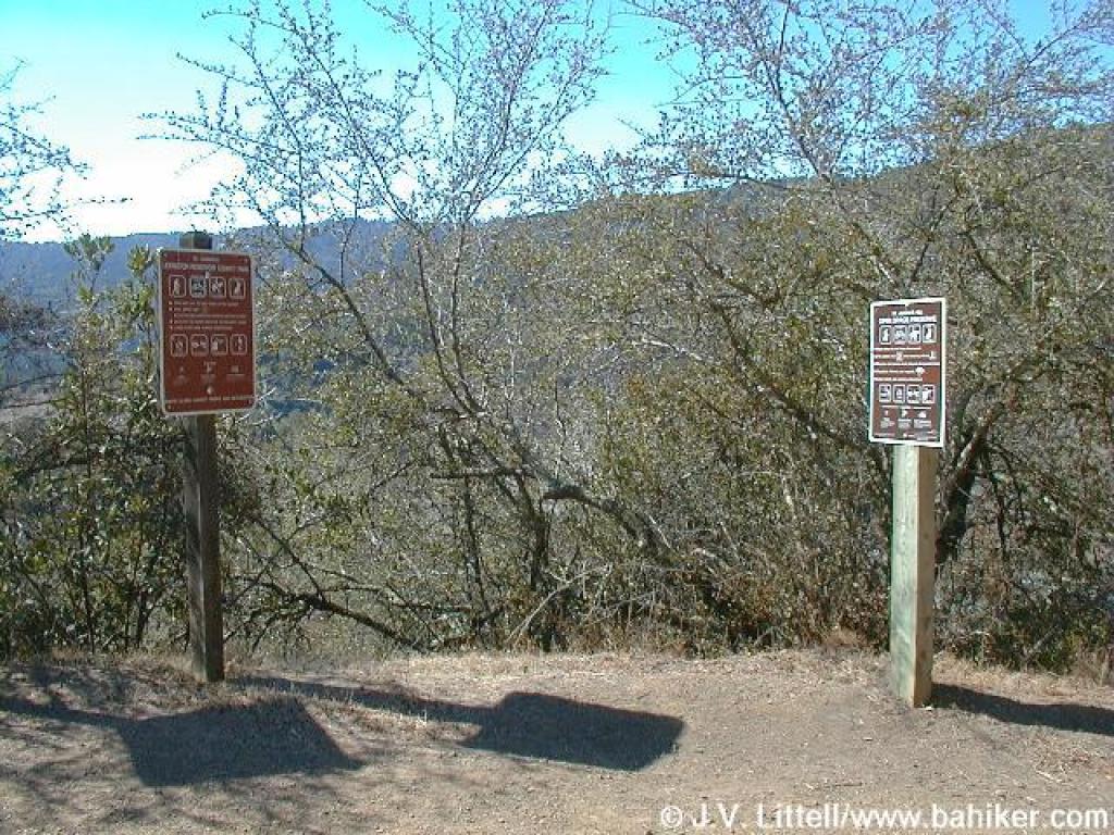 The border; signs stand at detente |
||||
 Silktassel |
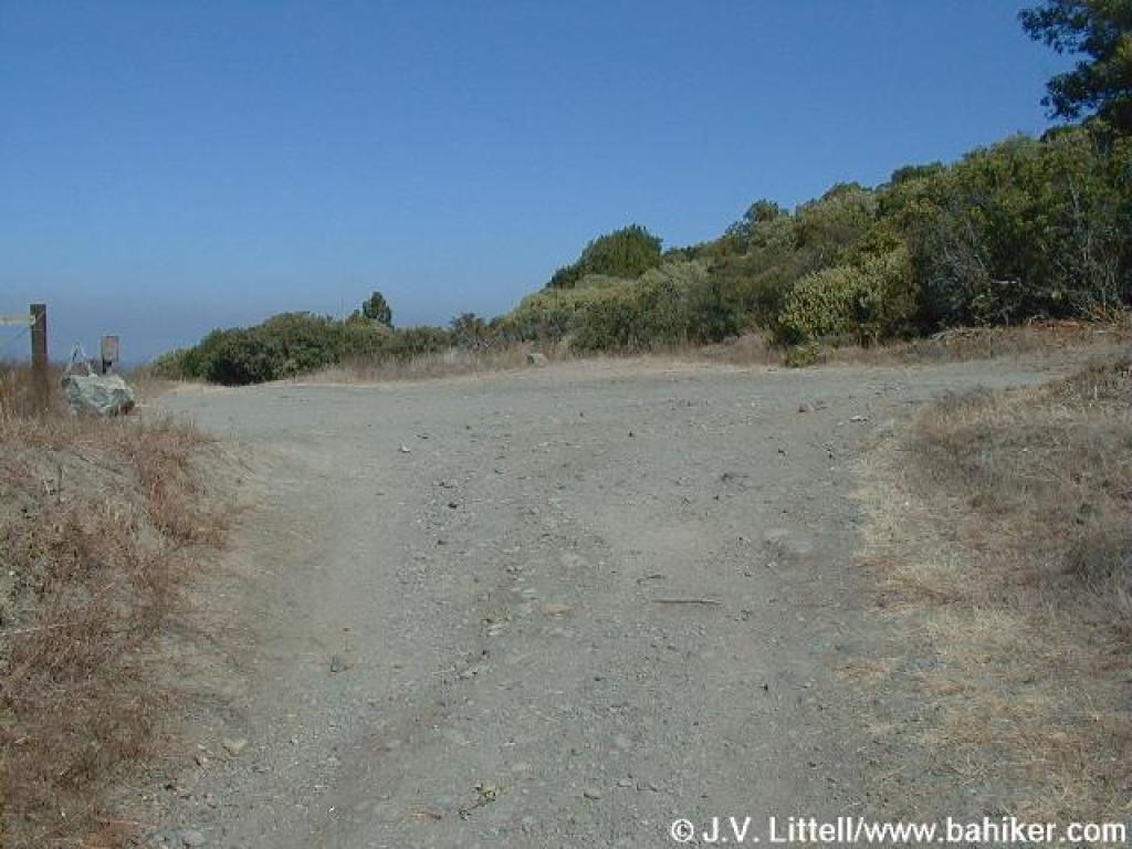
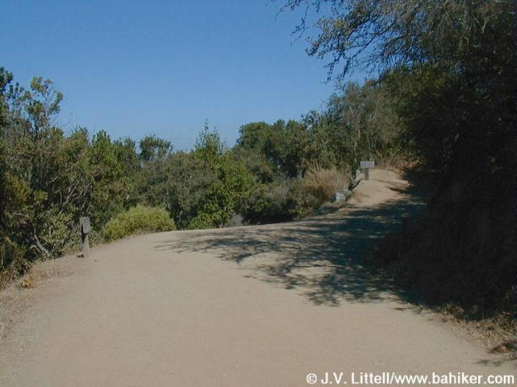 Junction |
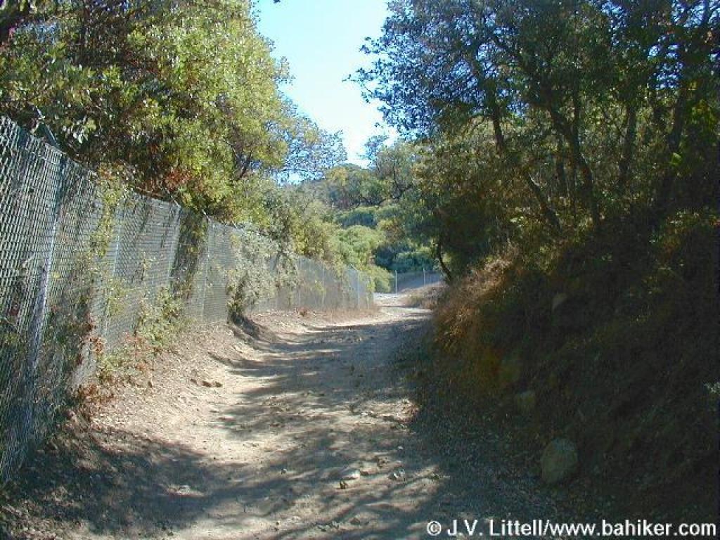 Manzanita shrubs press through the fence |
 Approaching junction |
||||
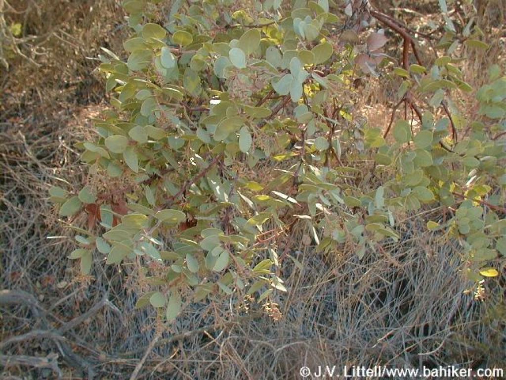 Manzanita |
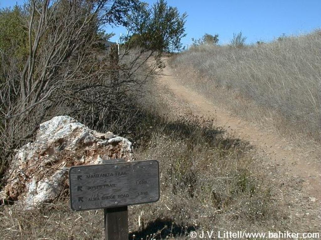
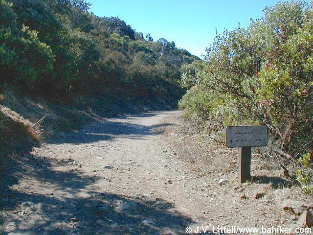 Manzanita Trail |
 Serpentine rock lends the trailside rocks a greenish tinge |
 More silktassel |
||||
 Fog hangs over the Santa Cruz Mountains to the west |
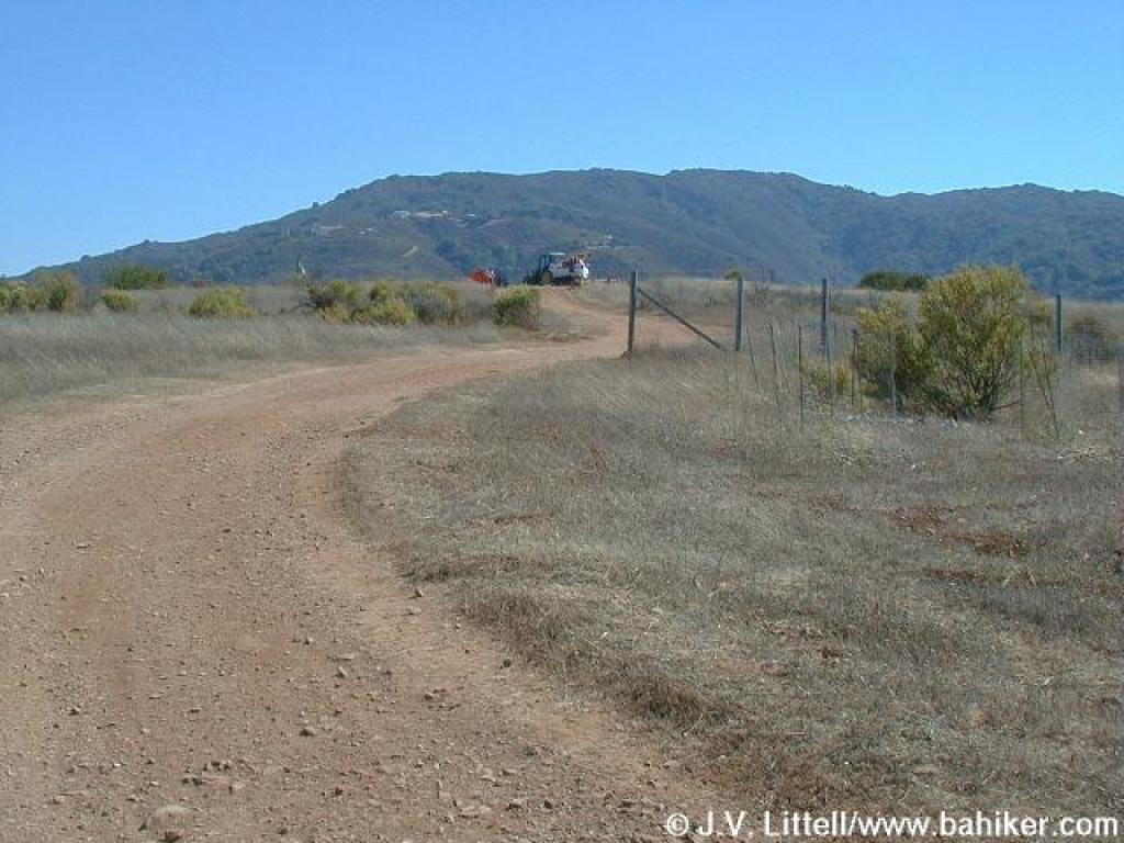
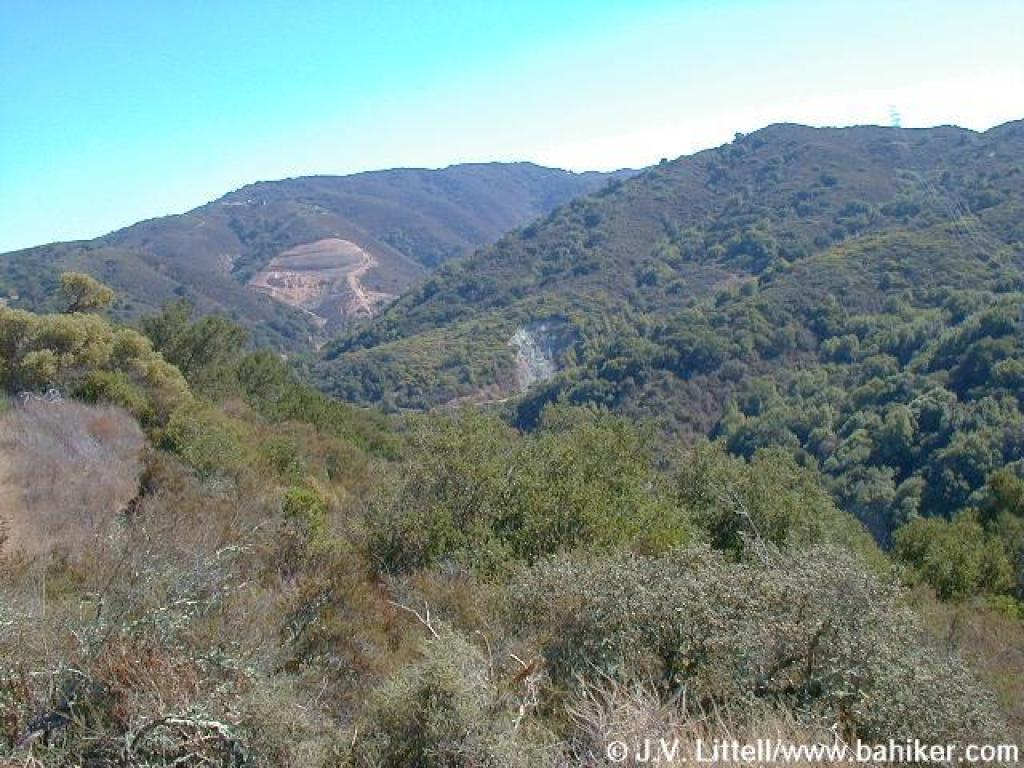 Looking toward the quarry |
 Manzanita Trail |
 Junction, near the old firing range |
||||
 Manzanitas line the trail |
 Oaks mixed through manzanitas |
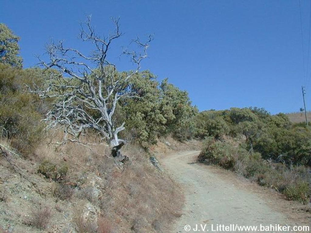
 Junction |
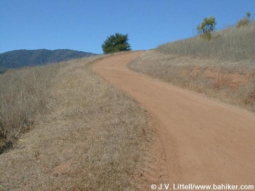 Last uphill stretch |
||||
 Top of the hill |
 Looking back, to the north |
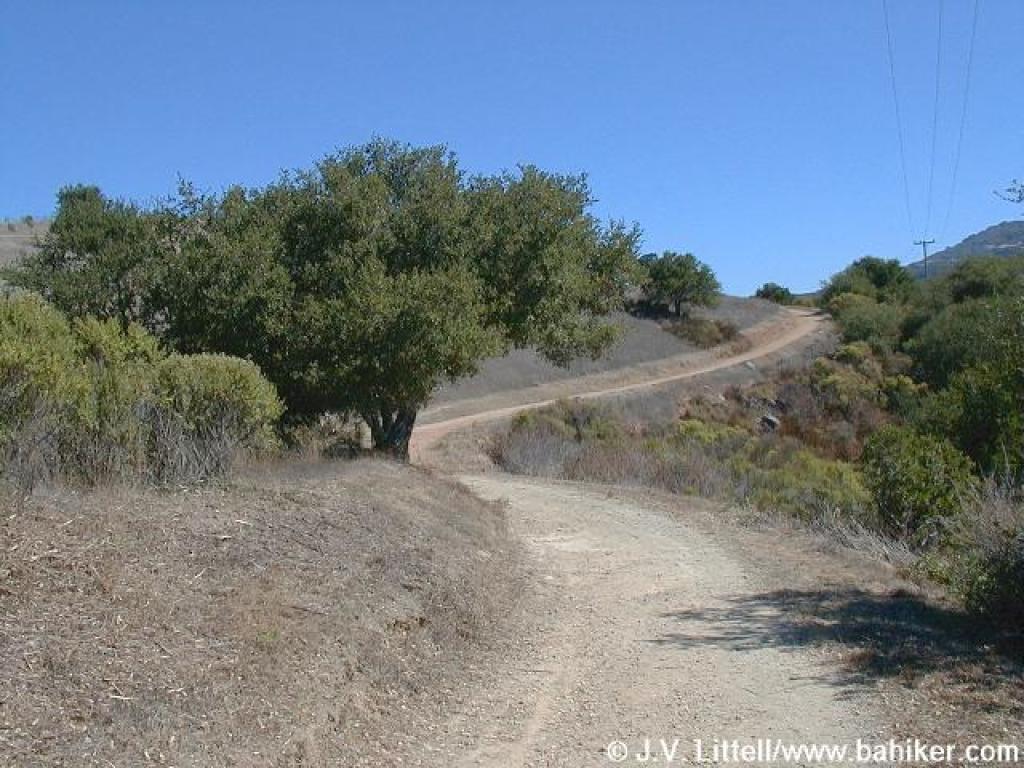
 Heading back downhill |
 Coyote brush and toyon are the dominant plants |
||||
 Toyon bush, with berries just turning orange |
 Unsigned junction |
 Descending to a junction |
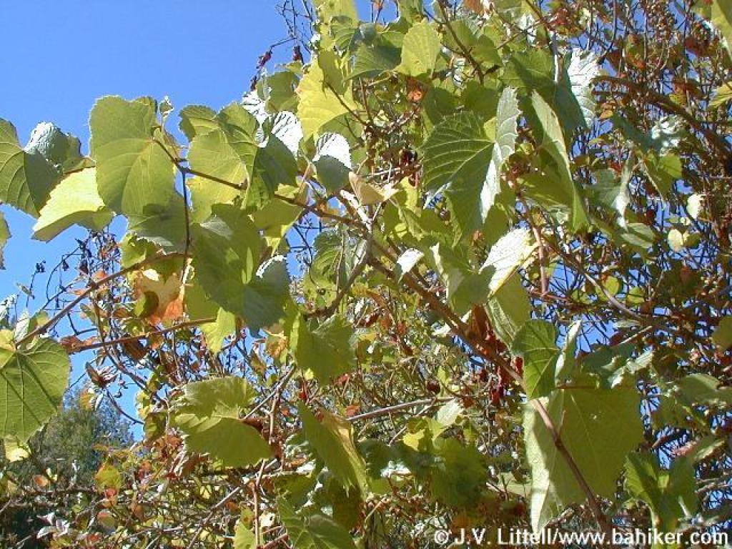 Wild grape |
||||
 Snowberry |
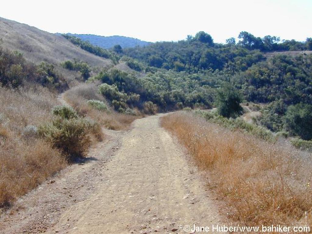
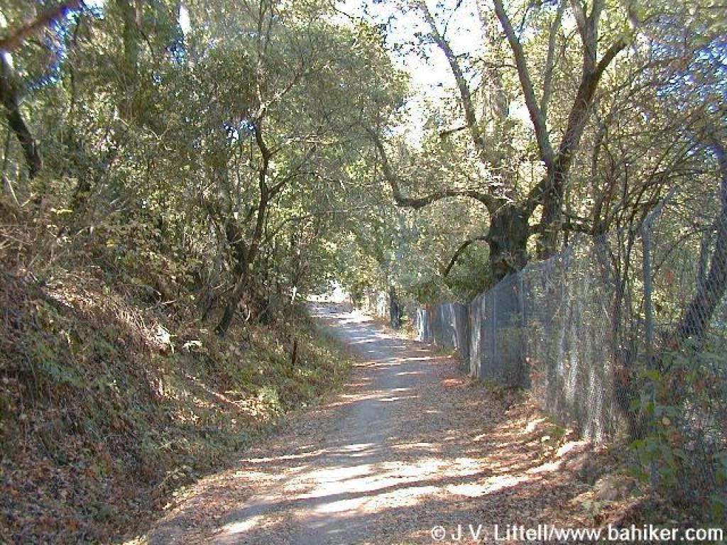 Returning on Novitiate Trail |
Go to Bay Area Hiker St. Joseph's Hill page Go to Bay Area Hiker Home page |
|||||