| Photos
from a July 2001 hike at Terra Linda/Sleepy Hollow Divide Open Space Preserve (click on any image for a larger view) |
|||||||
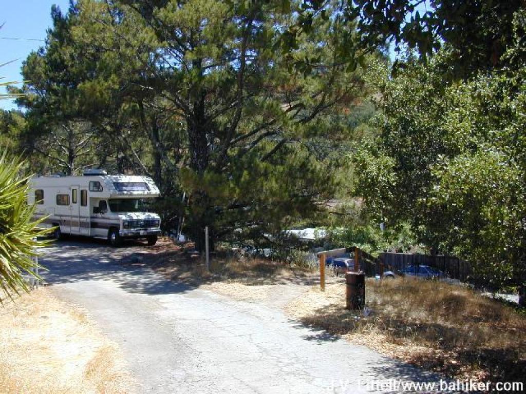
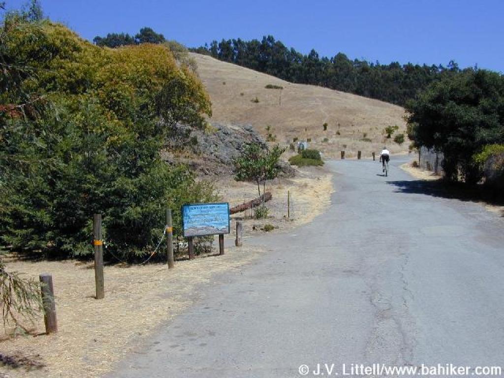 Entrance through Sorich Park |
 Trailhead |
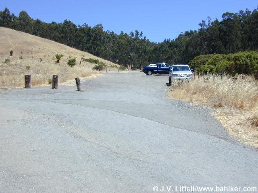
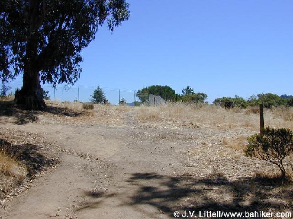
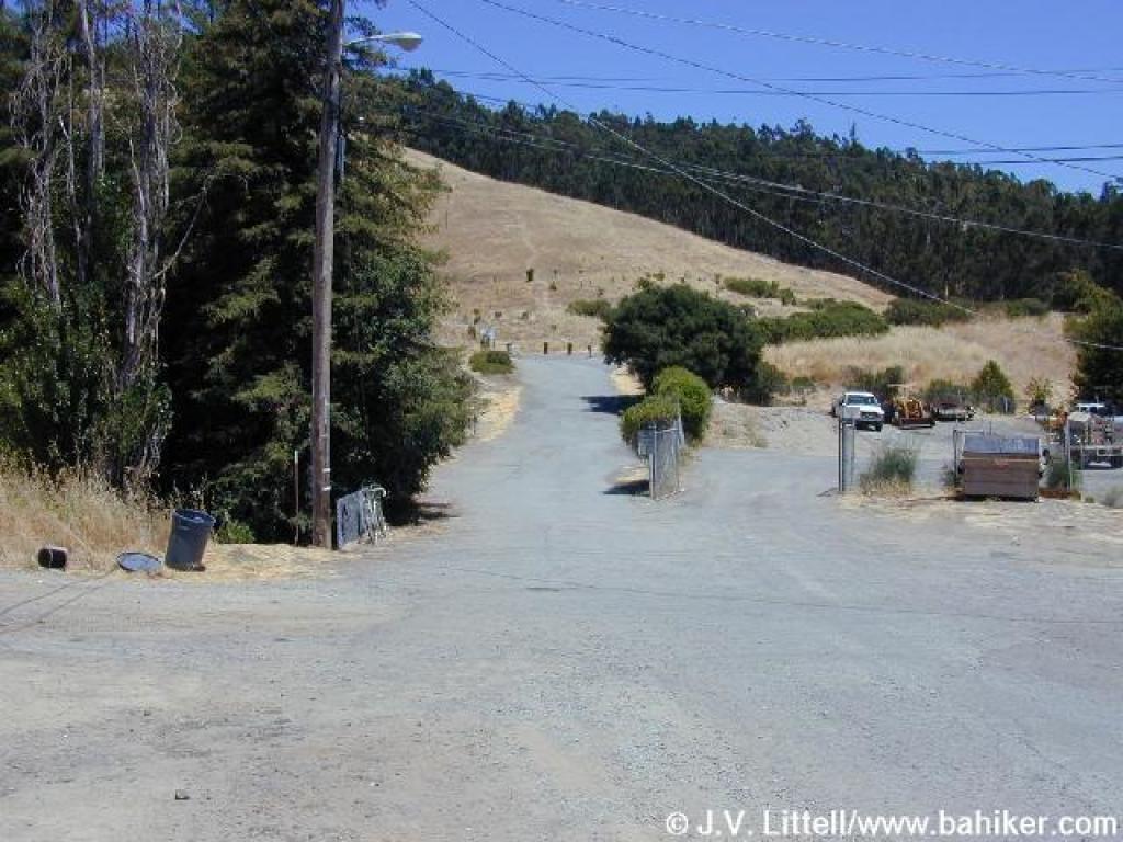
 Edge of the parking lot |
 Sorich Park Trail |
||||
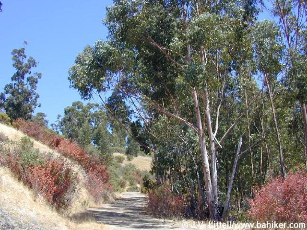
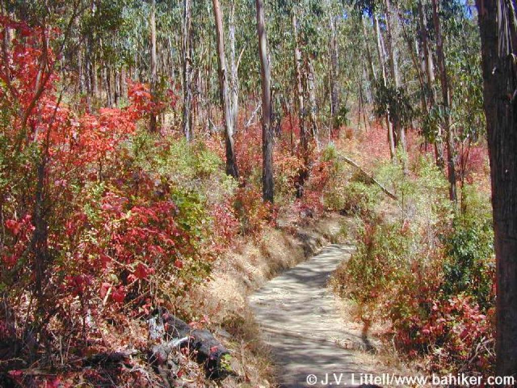 Poison oak beneath eucalyptus |
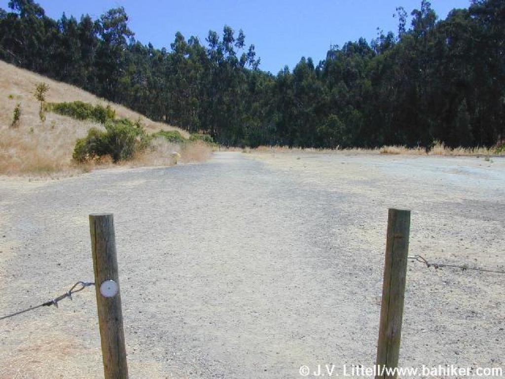
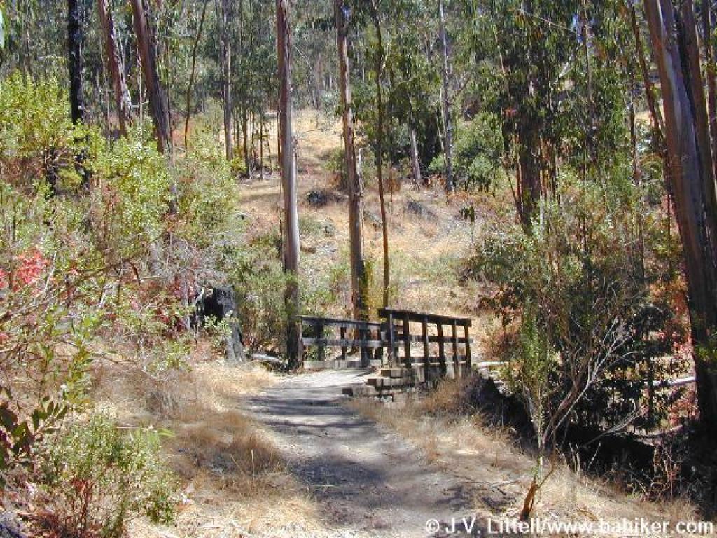 Footbridge |
 Junction with Cemetery Fire Road |
 Ascending on Cemetery Fire Road |
||||
 Patches of poison oak on the sides of the trail |
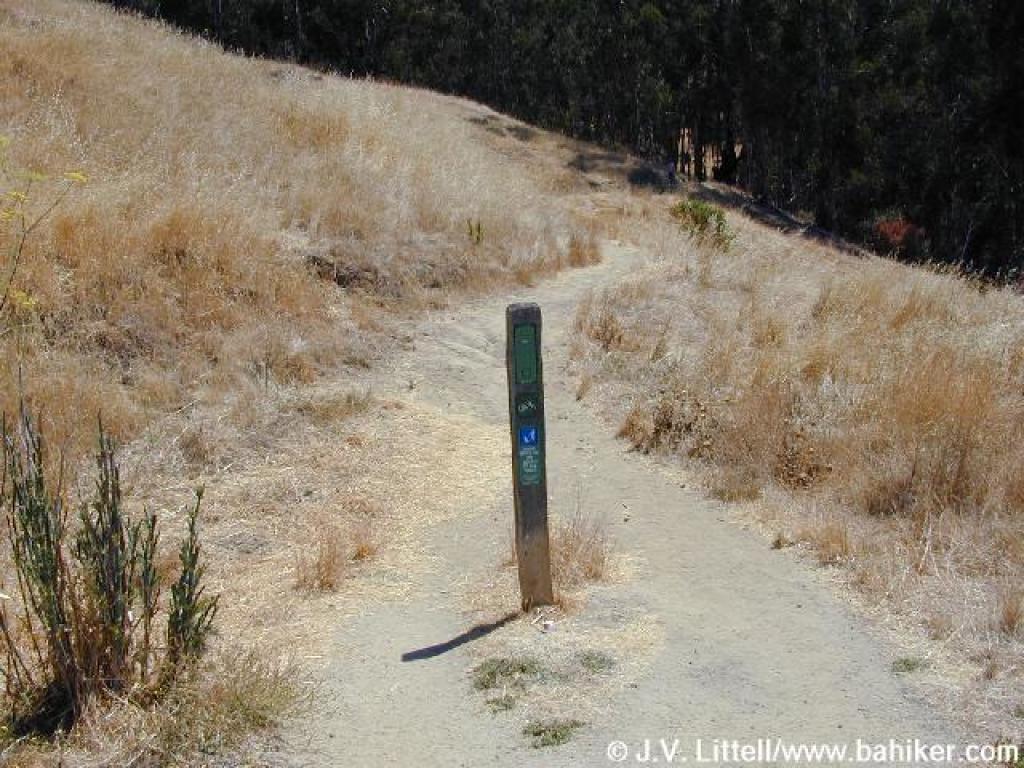
 Junction |
 Connector path |
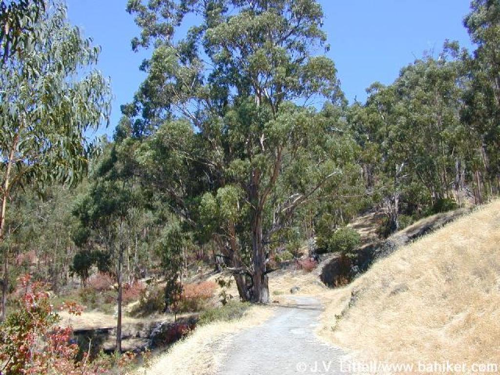
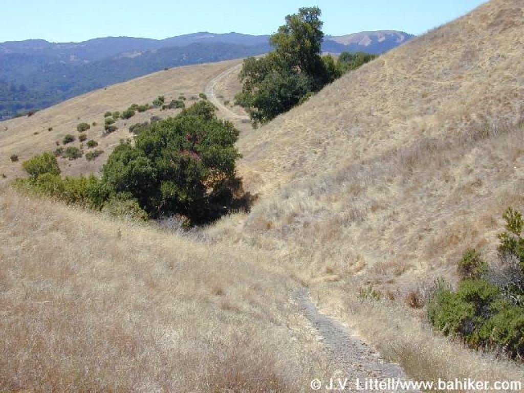
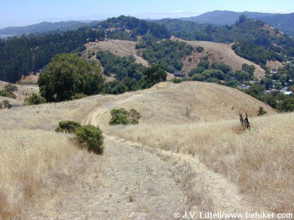
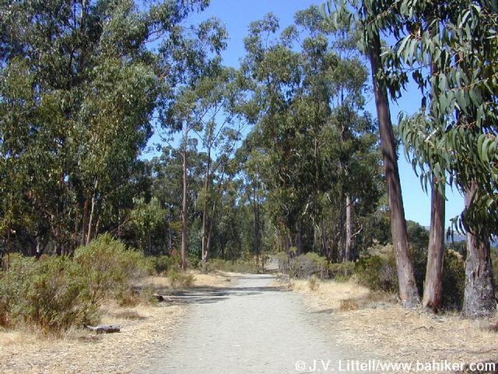 Ridgewood Fire Road |
||||
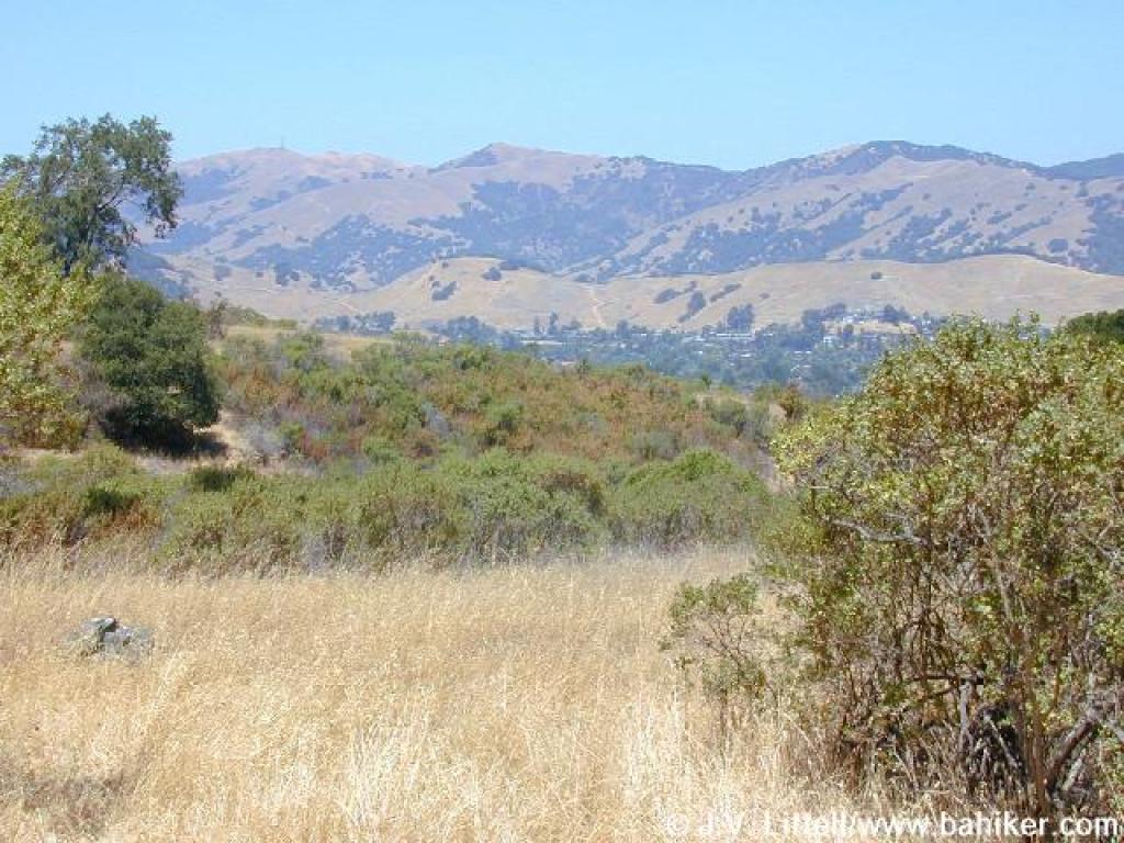 View north to Big Rock Ridge |
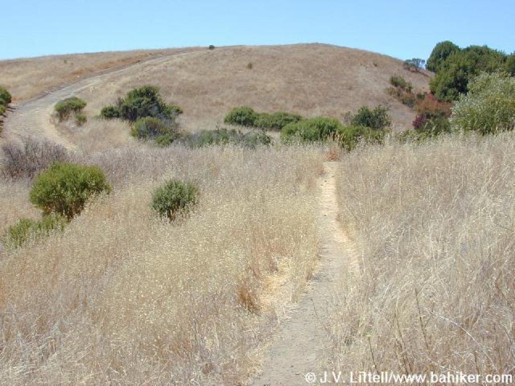
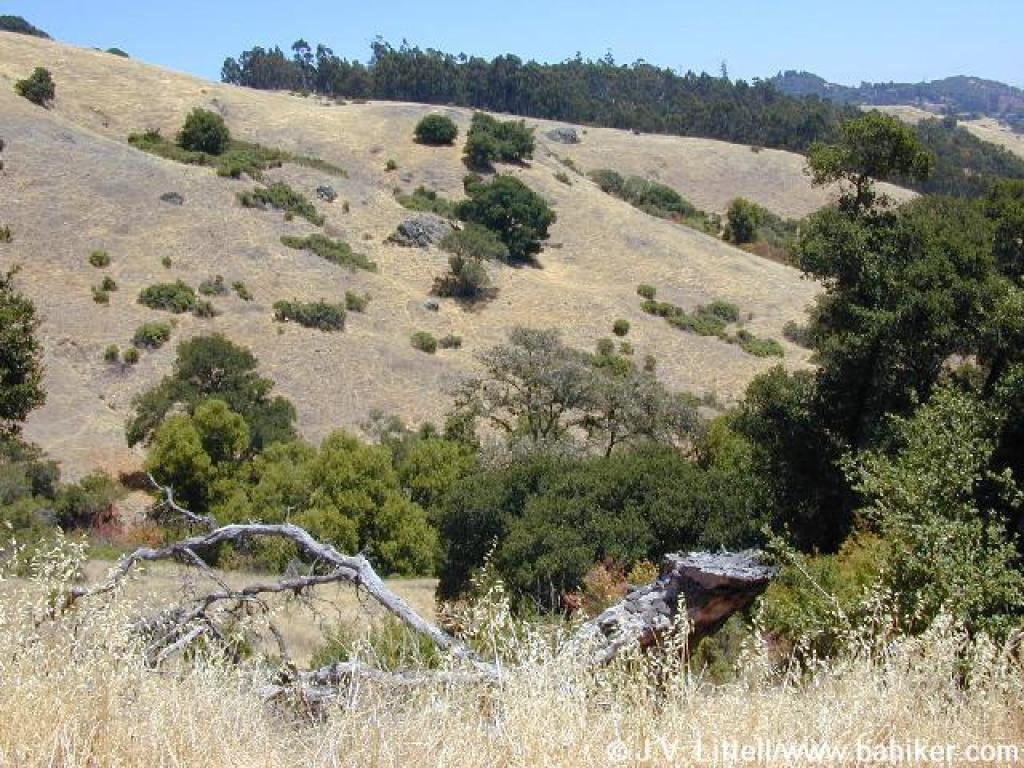
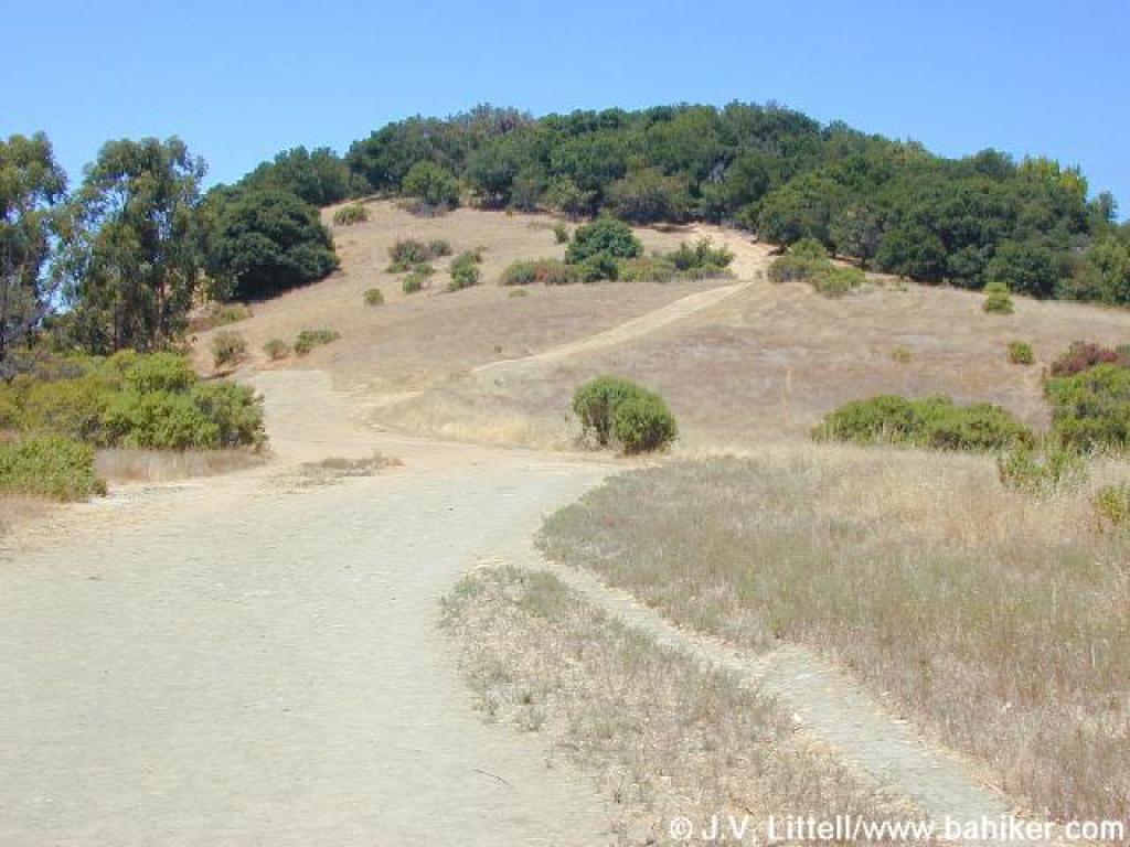 Approaching a split in the trail |
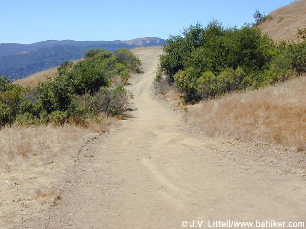 Ridgewood Fire Road, with a view southwest |
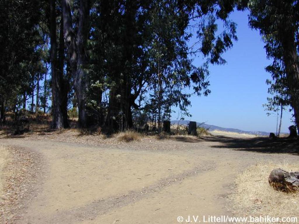
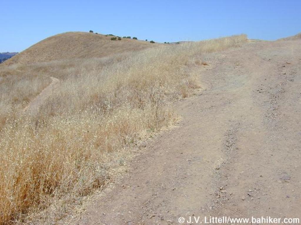 Junction |
||||
 Shortcut path |
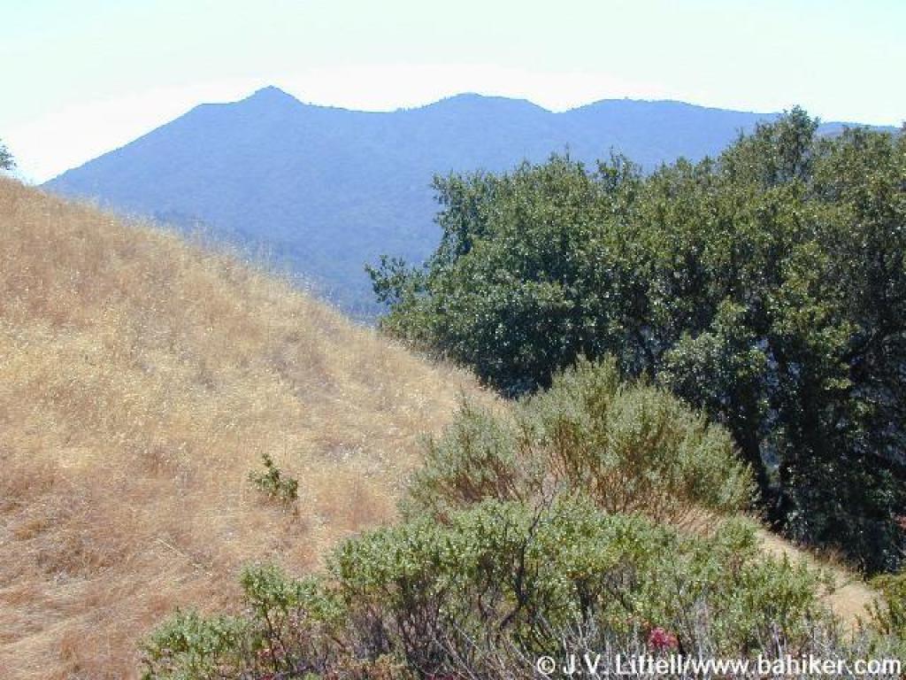 View south to Tam |
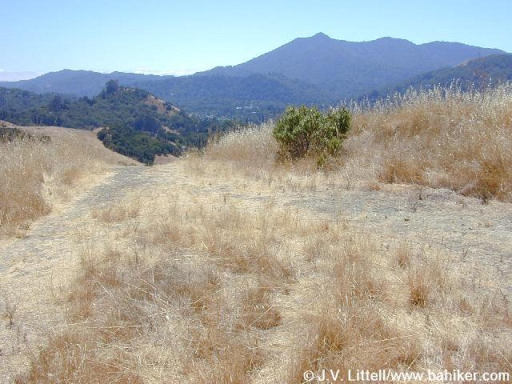
 Approaching junction |
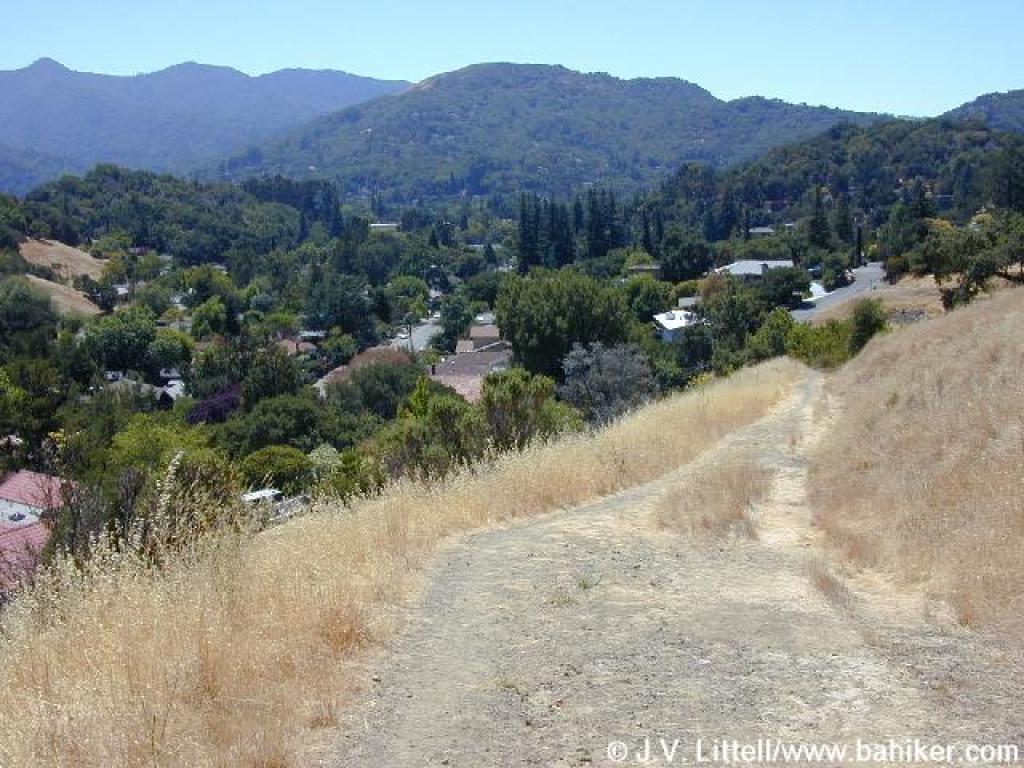
 Descending on Sorich Fire Road |
||||
 Steep |
 View east |
 Trail levels out |
 Reduced to a footpath |
||||
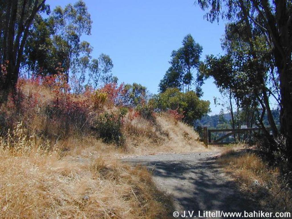
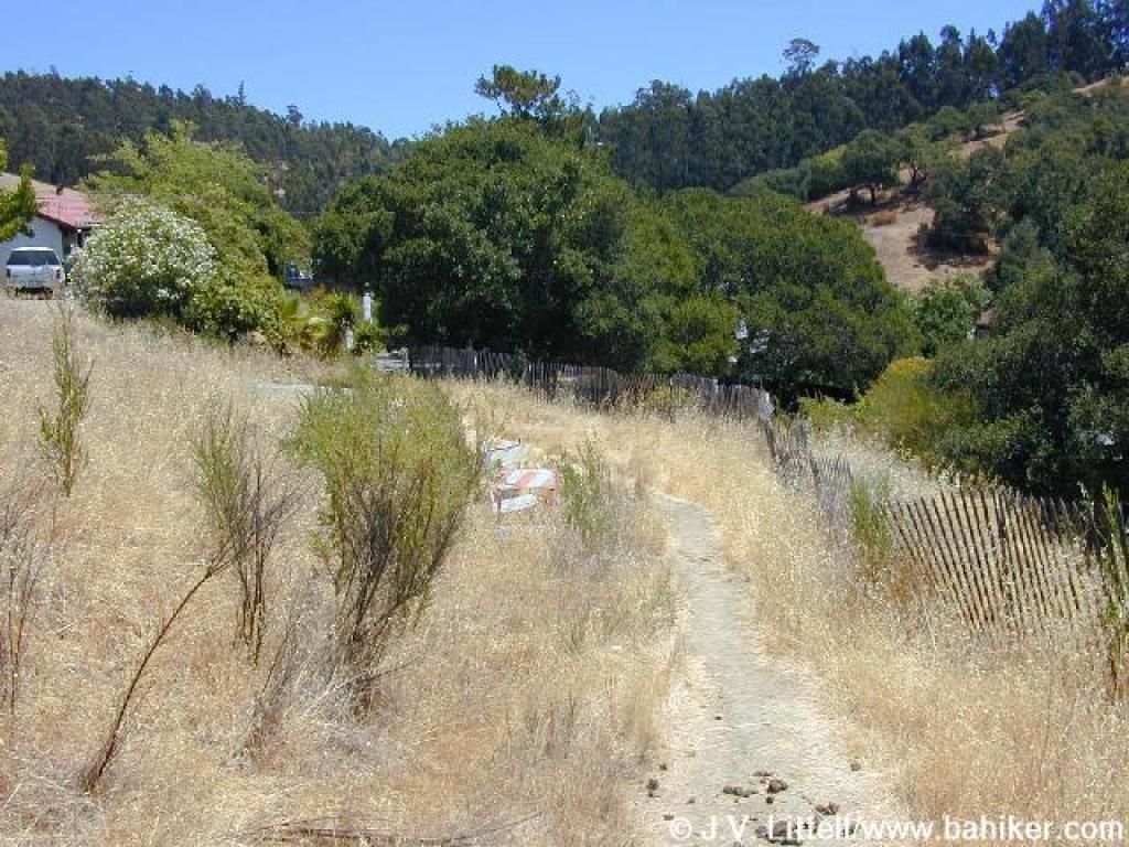
 Bear right; private property ahead |
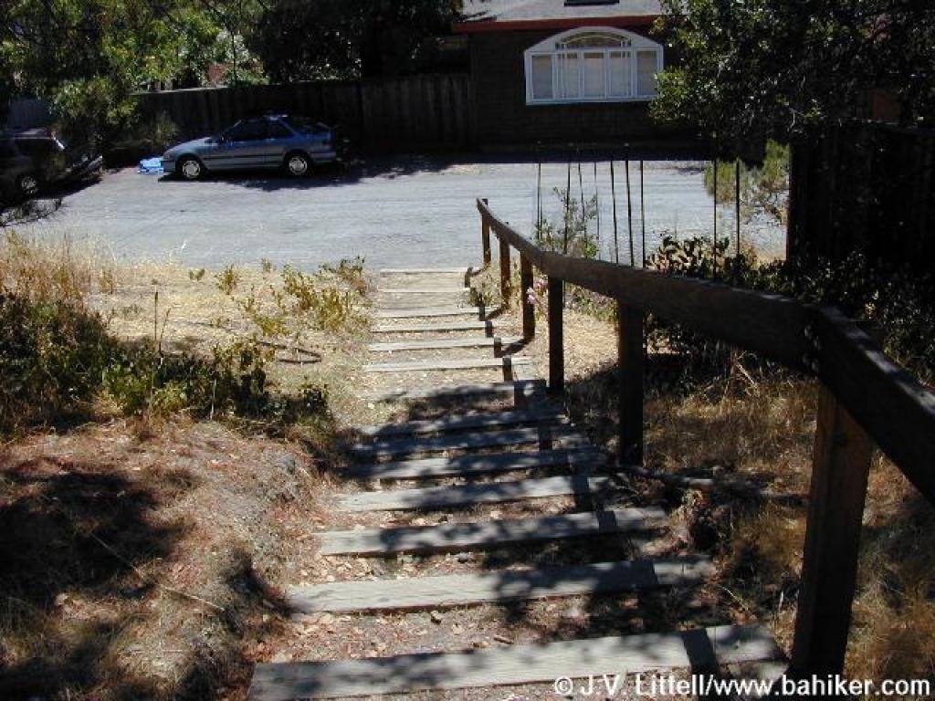 Steps to street |
 Returning to the trailhead on the street |
Go to Bay Area Hiker Terra Linda/Sleepy Hollow Divide page Go to Bay Area Hiker Home page |
||||