| Photos
from a January 2000 hike at Uvas Canyon Park (click on an image for a larger view) |
||||||||
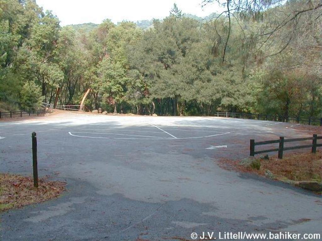 Trailhead |
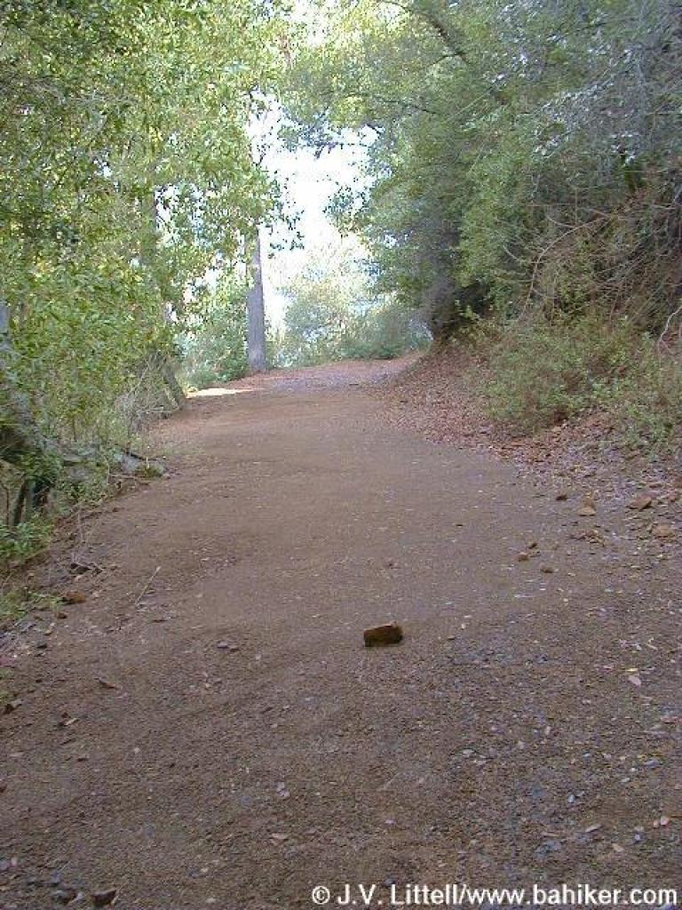
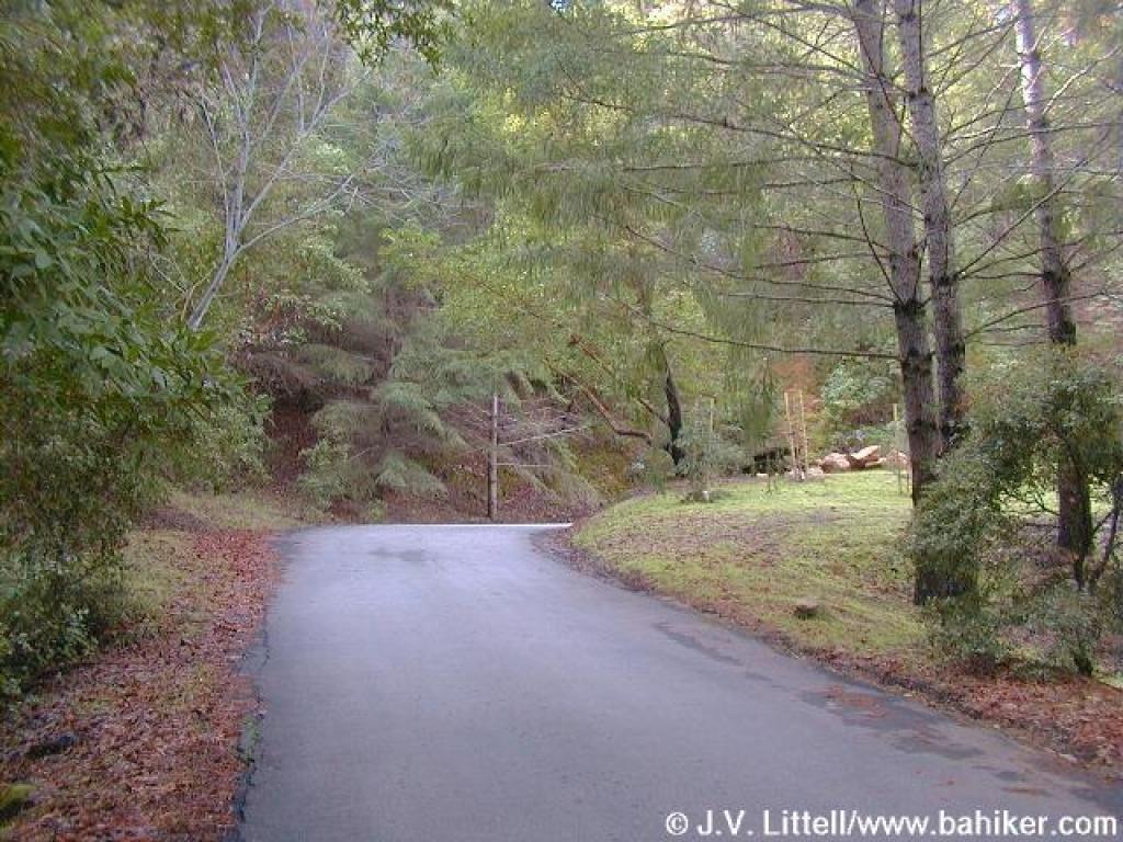 Up the service road |
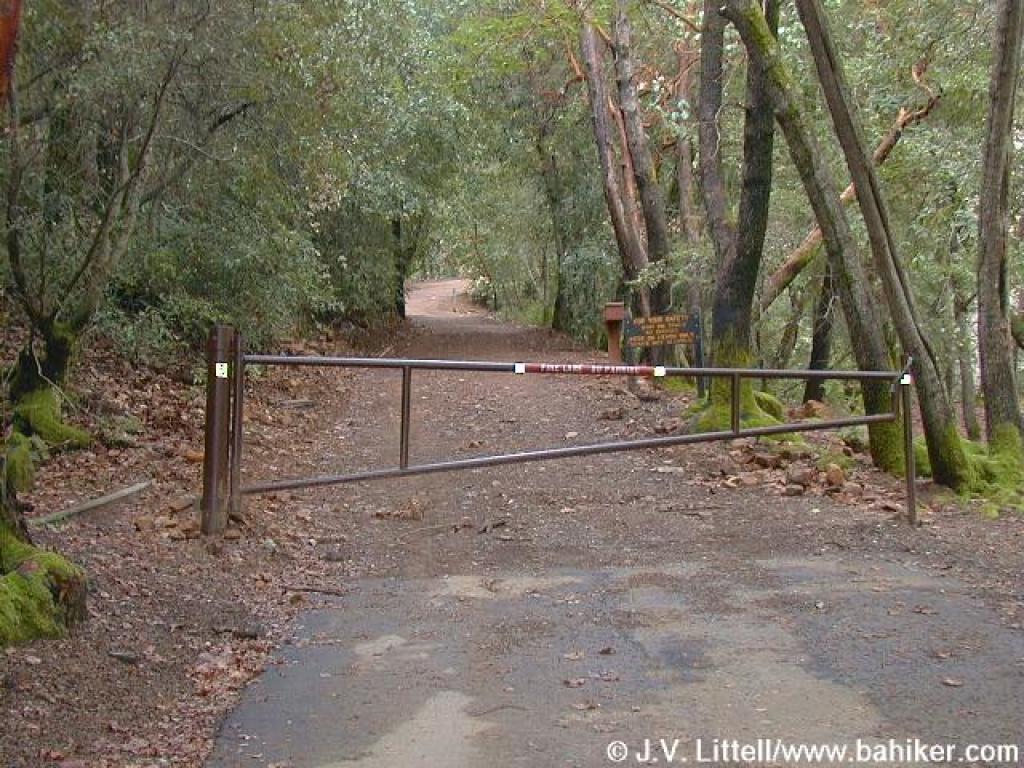
 Gate to group picnic area |
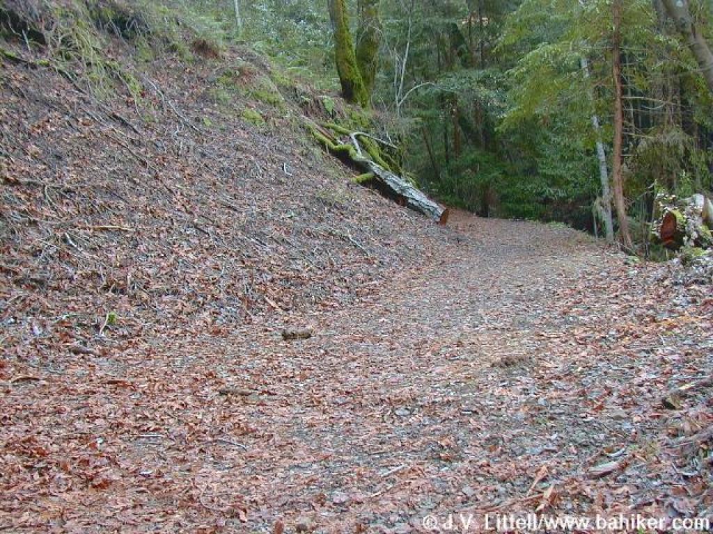
 Beginning of the trail |
|||||
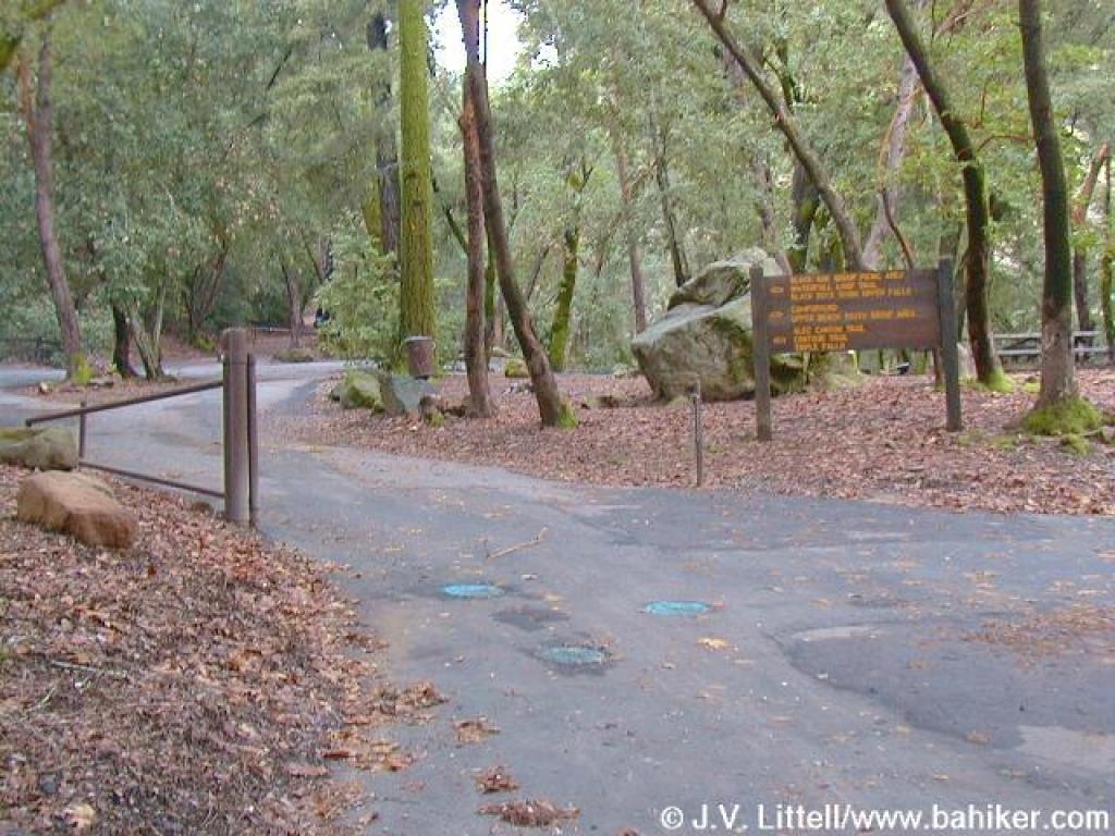
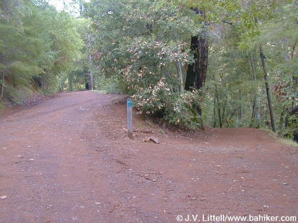 Junction |
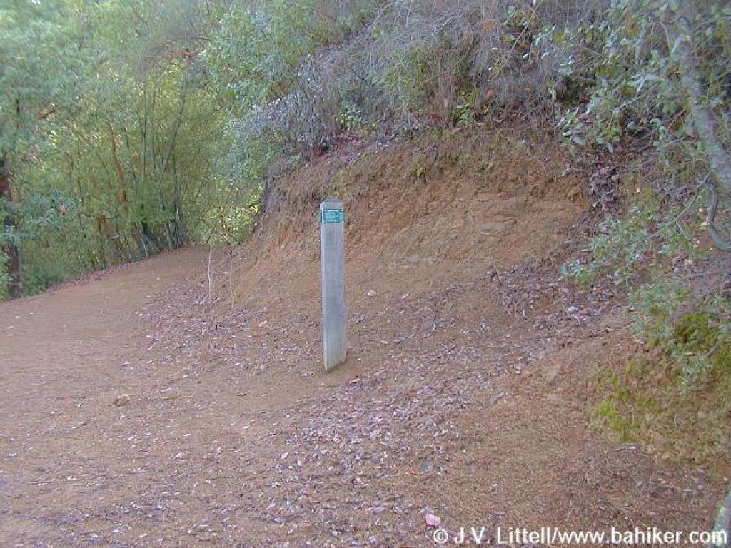
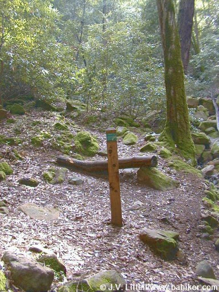
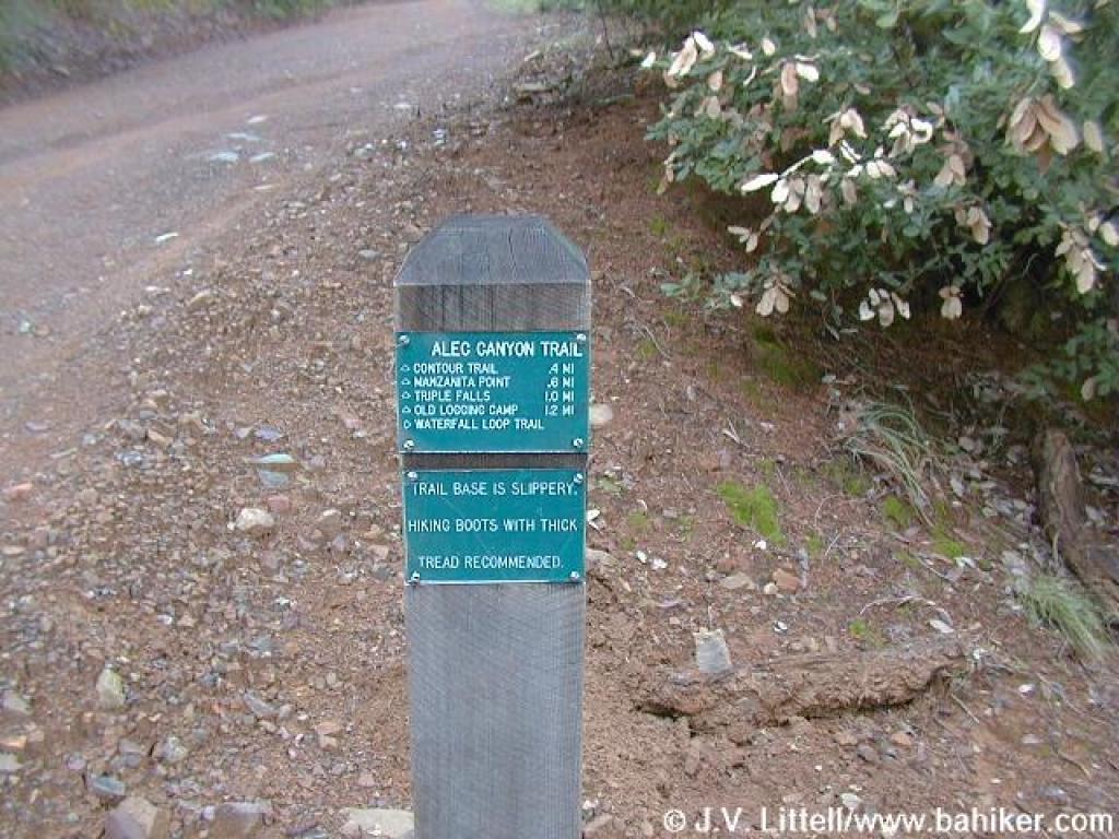 Signpost |
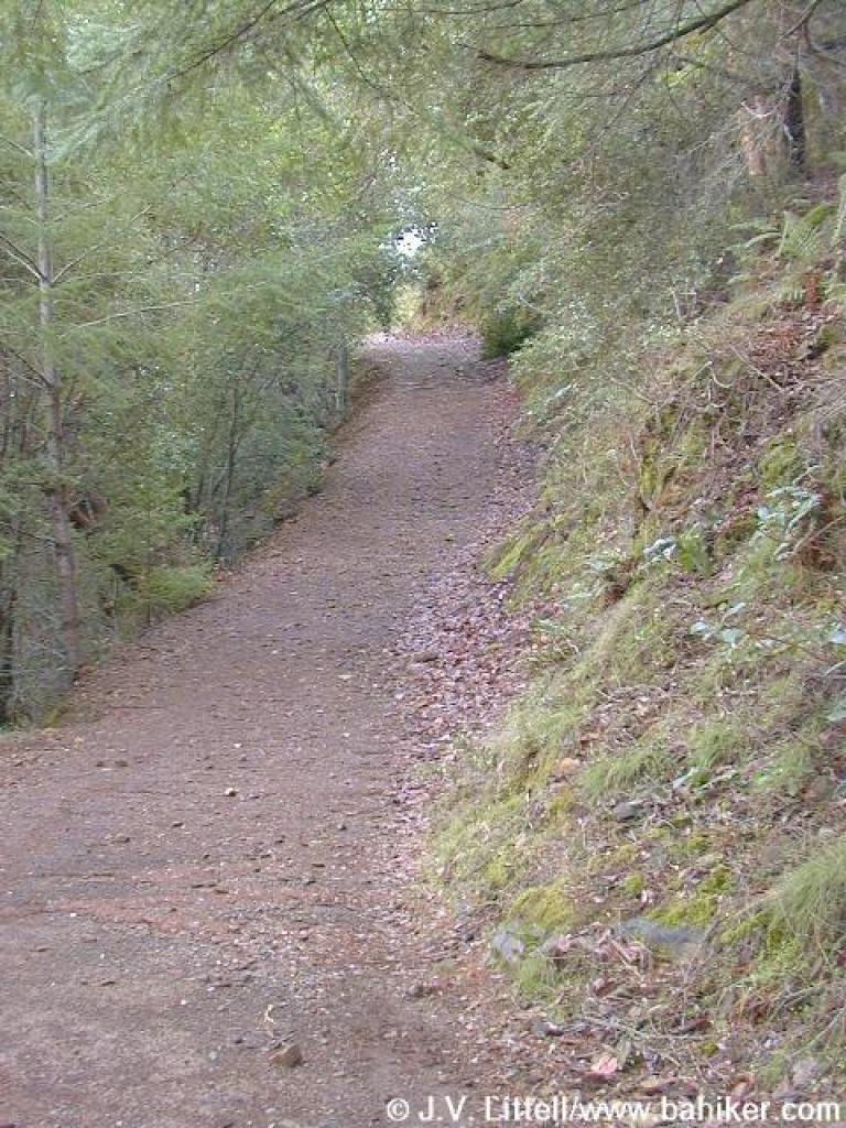 Alec Canyon Trail |
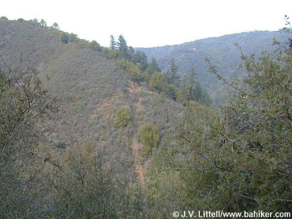 View across the canyon |
|||||
 Uphill to resting spot |
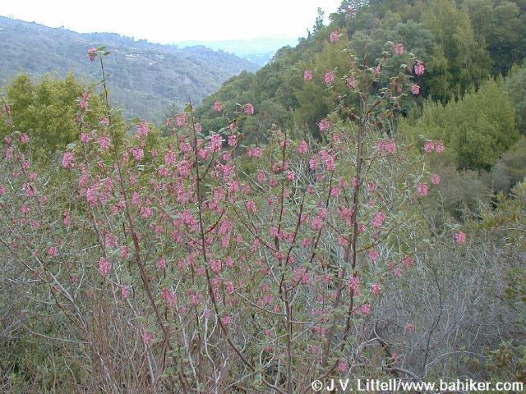 Pinkflowering currant |
 Uphill |
 Junction with Contour Trail |
|||||
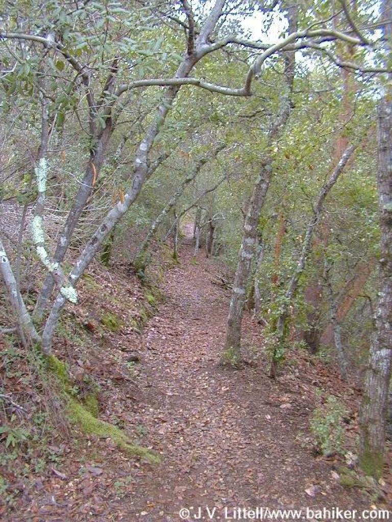
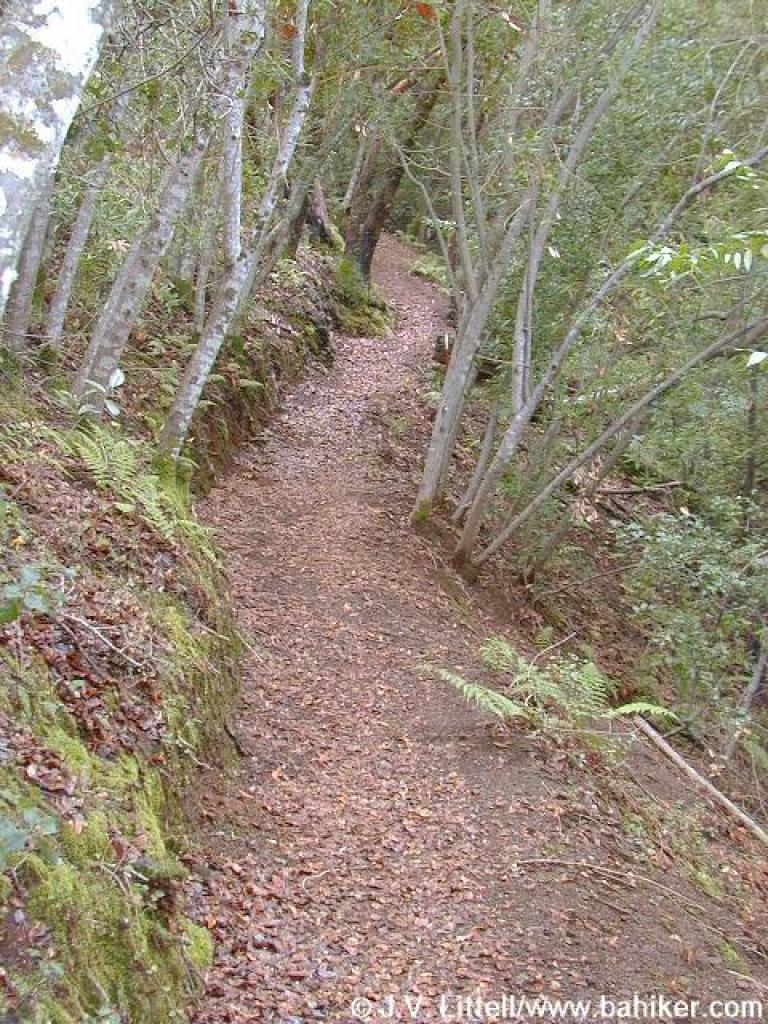 Contour Trail |
 Creek crossing |
 Through the trees |
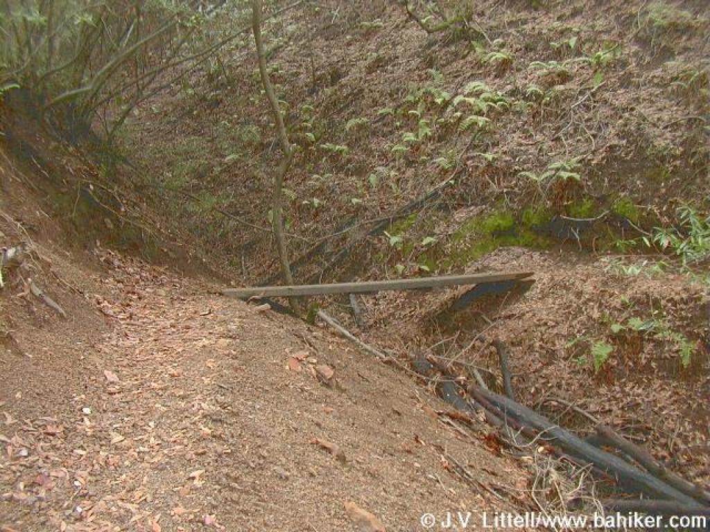
 Another creek crossing |
|||||
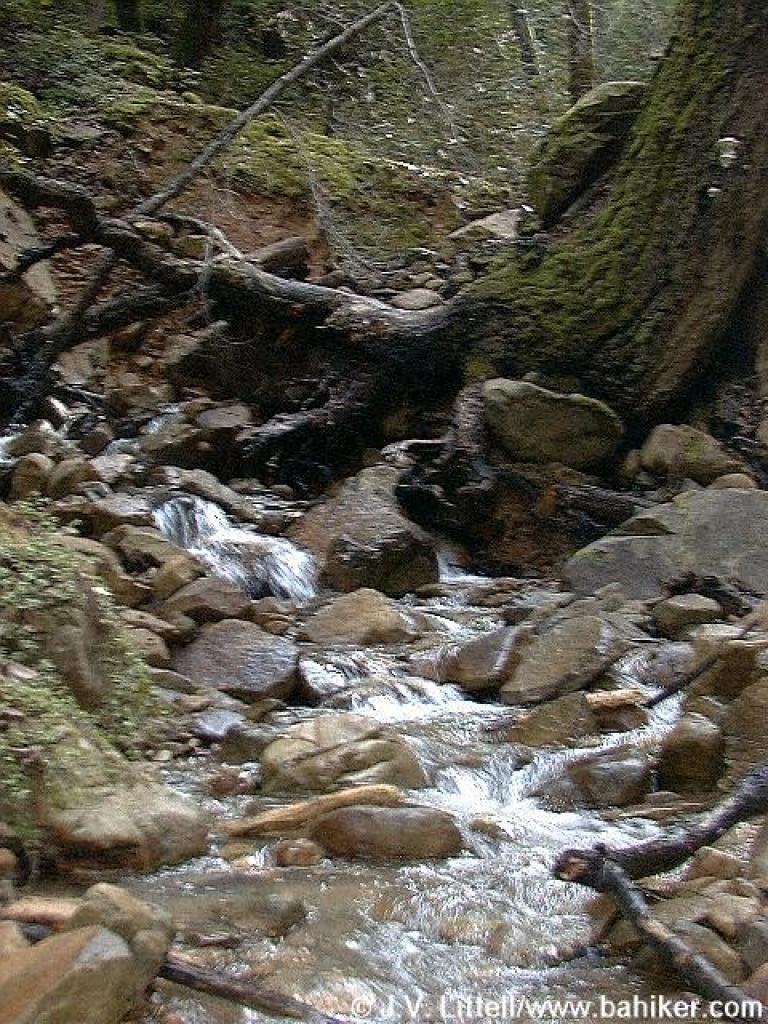
 Creekbed |
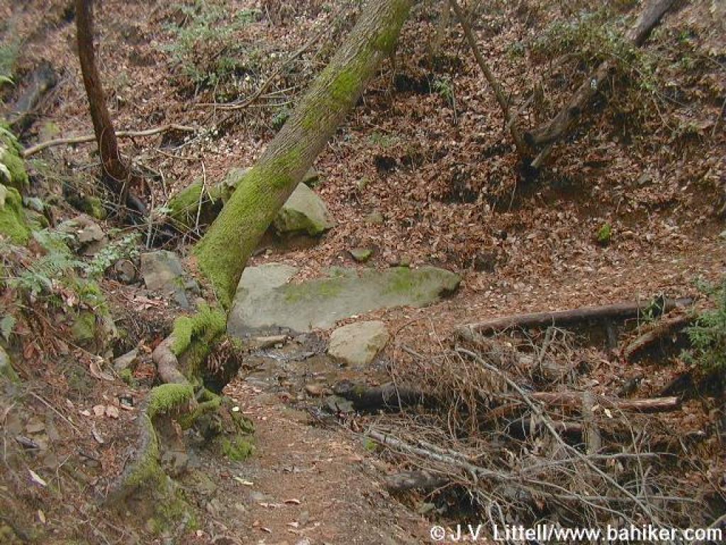
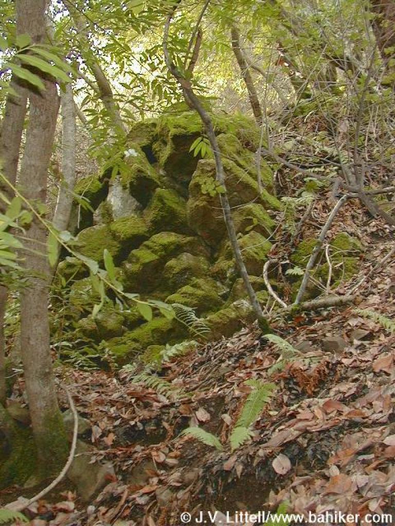 Rock |
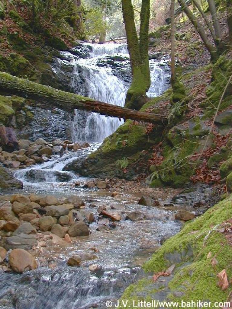
 At the waterfall |
 Looking up the creek |
|||||
 Heading downhill |
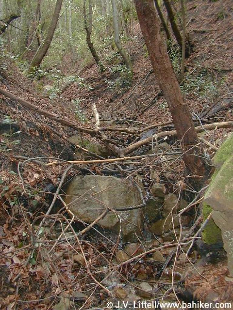
 Creek crossing |
 Unsigned trail junction |
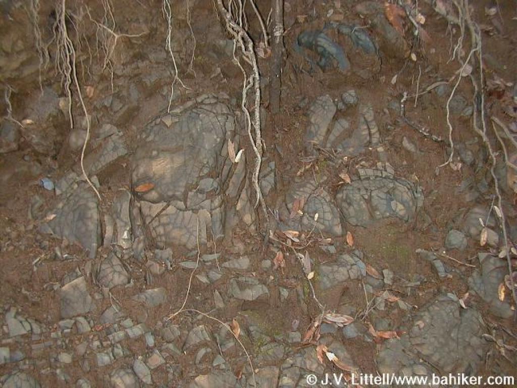 Rock |
|||||
 Down some steps |
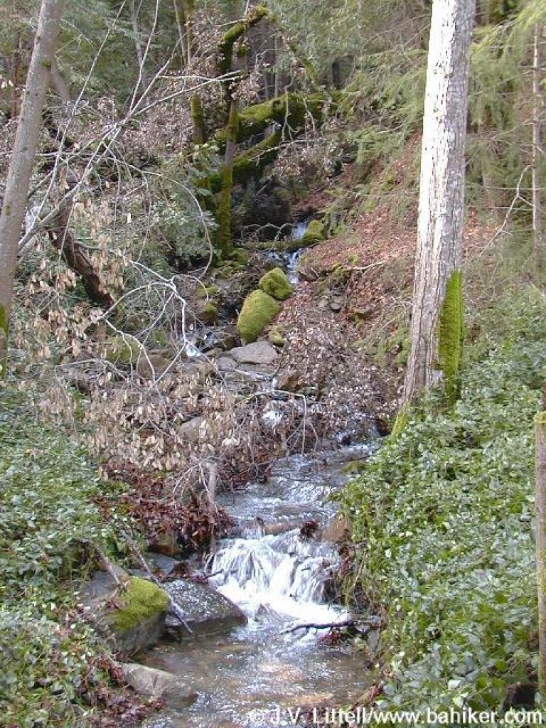
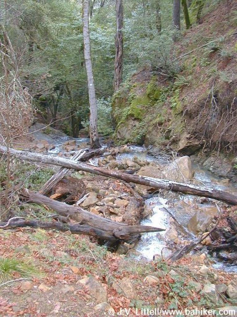 Creek |
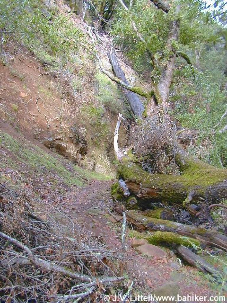 Around a landslide |
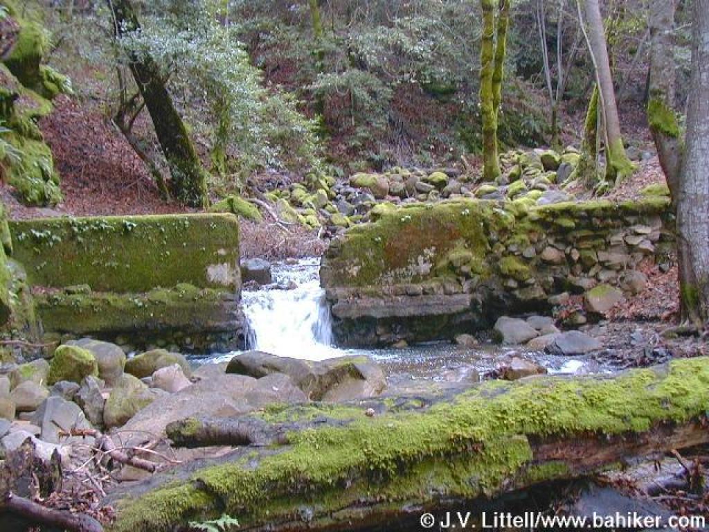
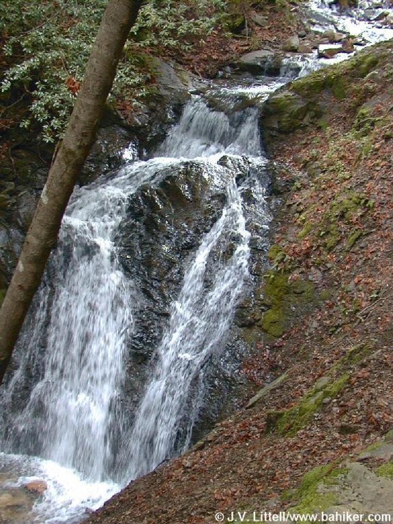 Falls |
|||||
 Basin Falls Trail |
 Falls |
 Side creek |
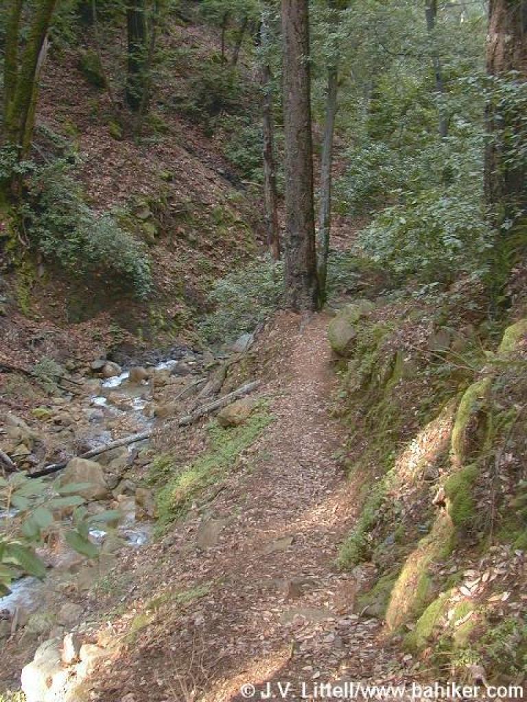
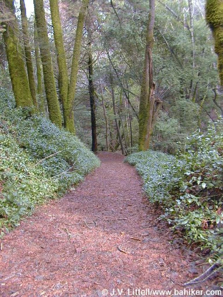 Trail |
|||||
 To Upper Black Rock Falls |
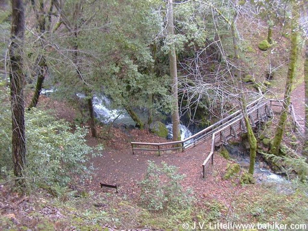
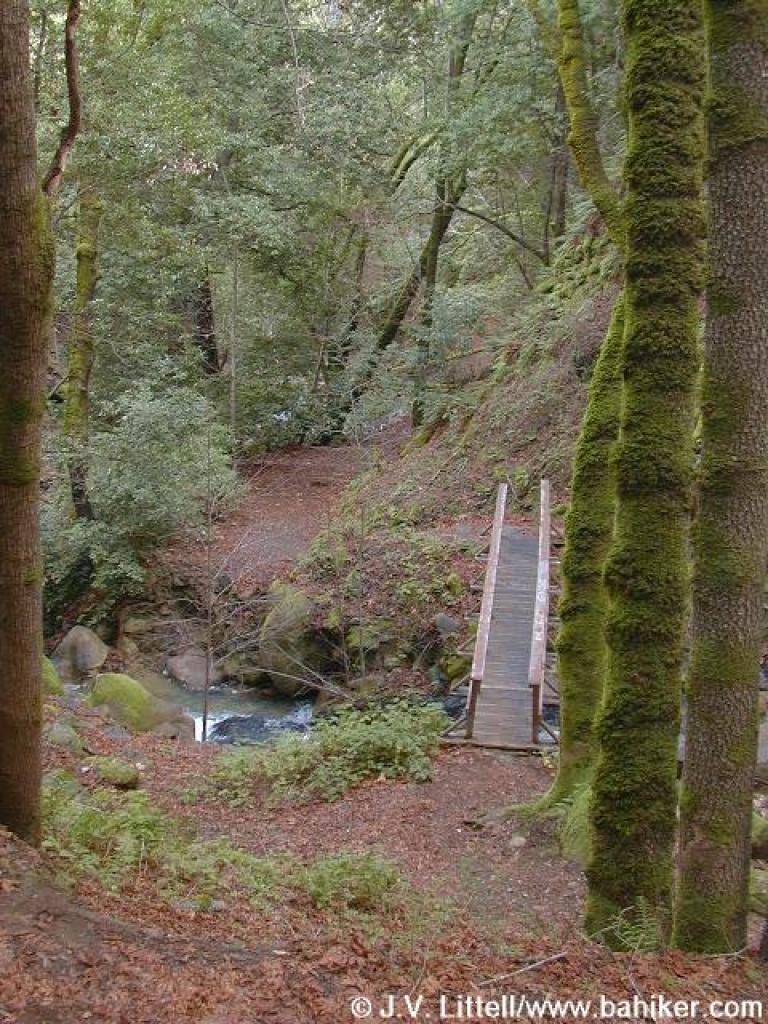 Bridge |
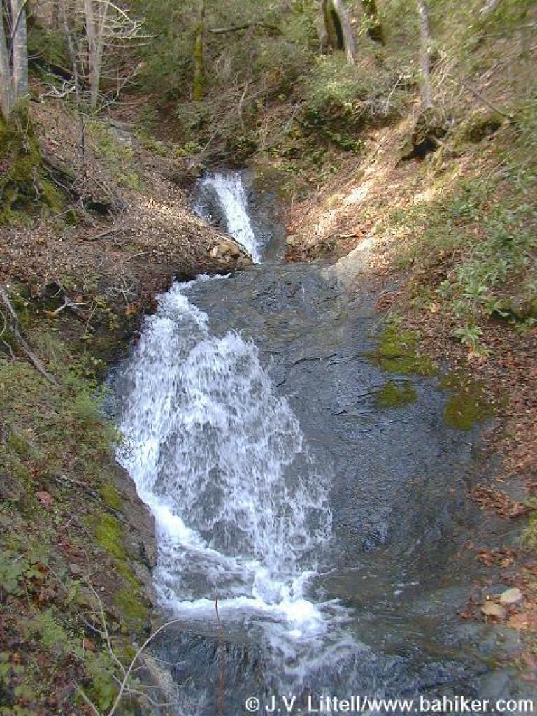 Falls |
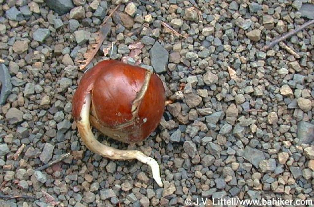 Buckeye seed pod |
|||||
 Stairs |
 Creek |
 One last look back to the trail |
Go Bay Area Hiker Uvas page Go to Bay Area Hiker Home page |
|||||