| Photos
from an August 2000 hike at McNee Ranch State Park (click on any image for a larger view) |
|||||||
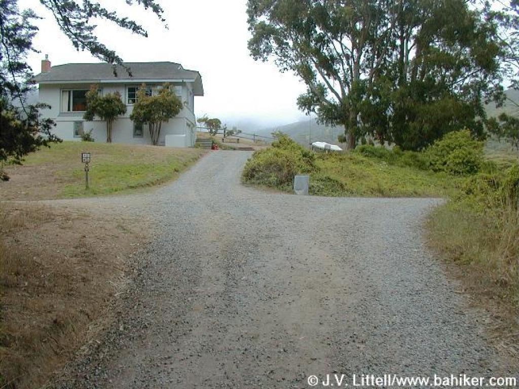
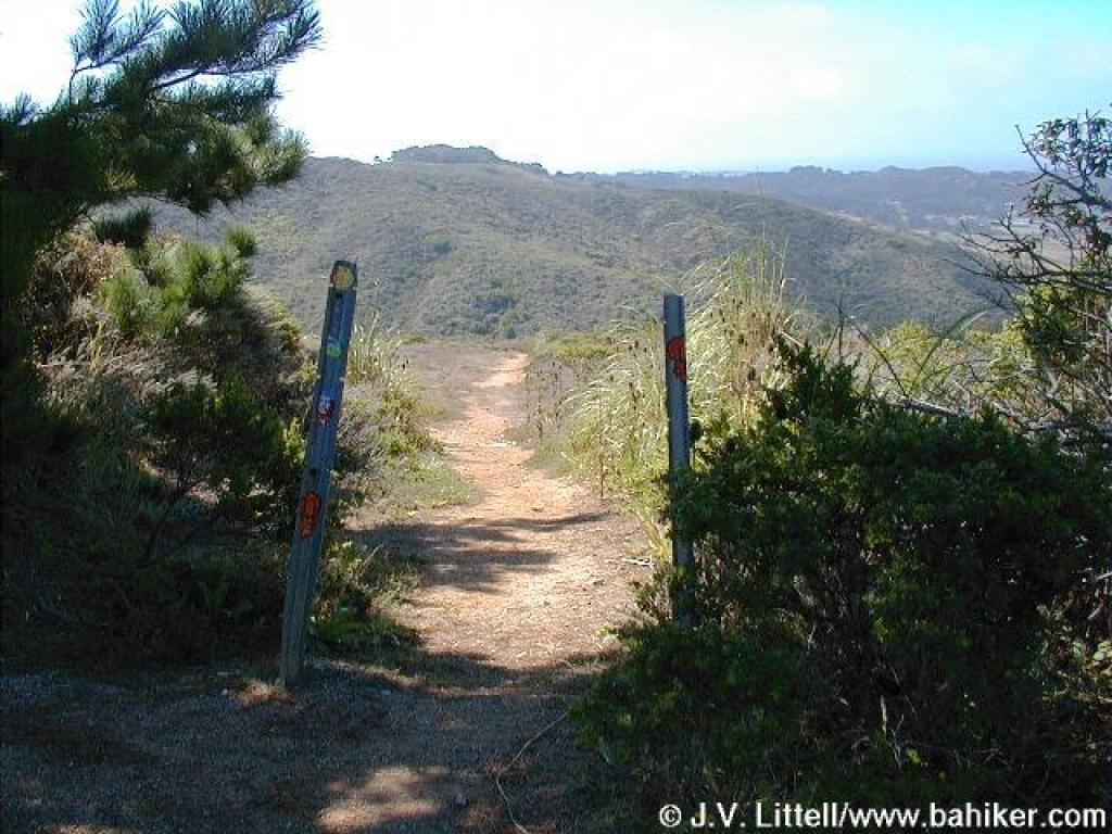
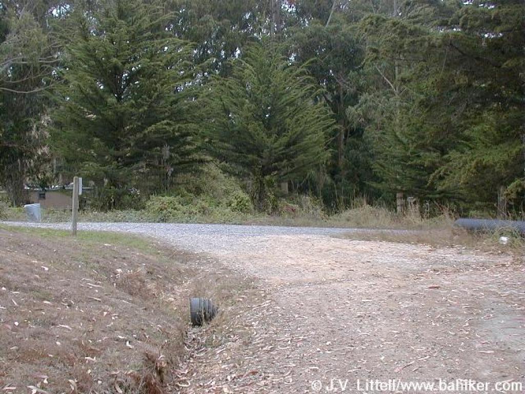
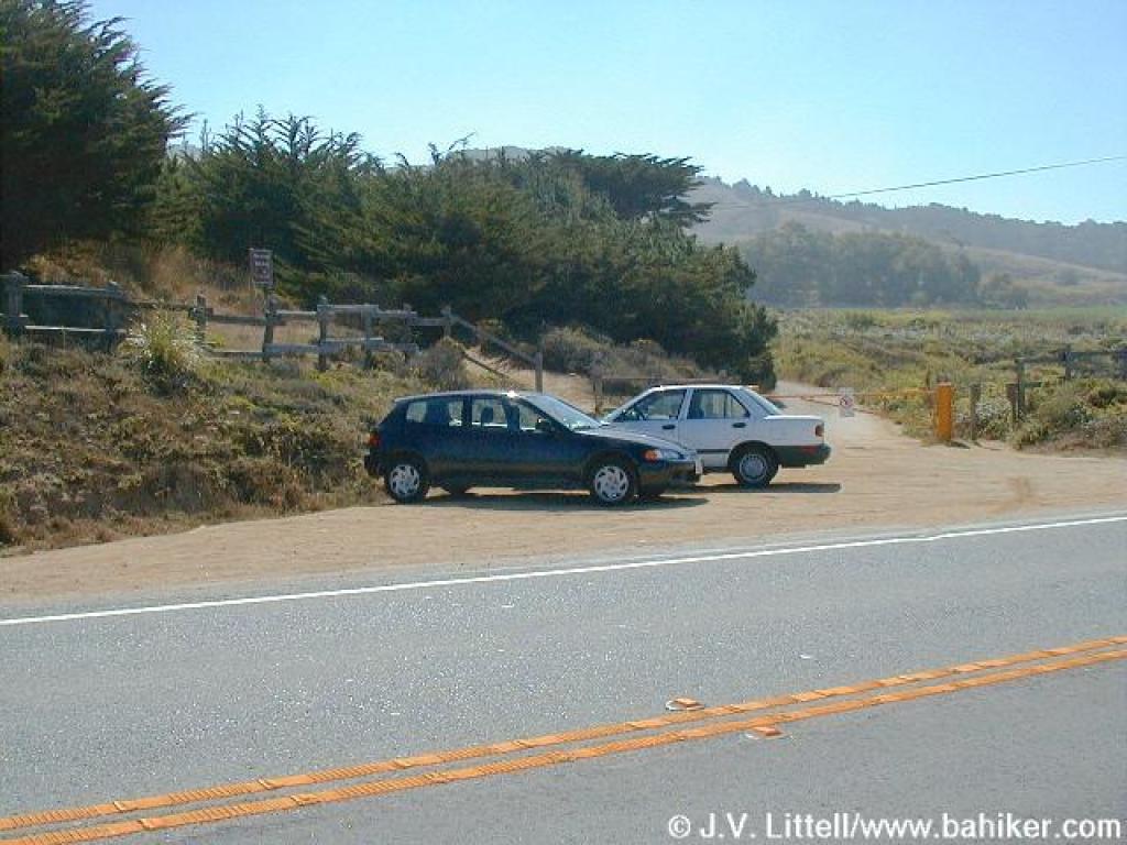 Trailhead |
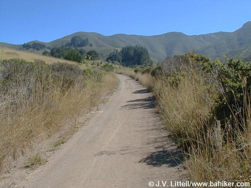
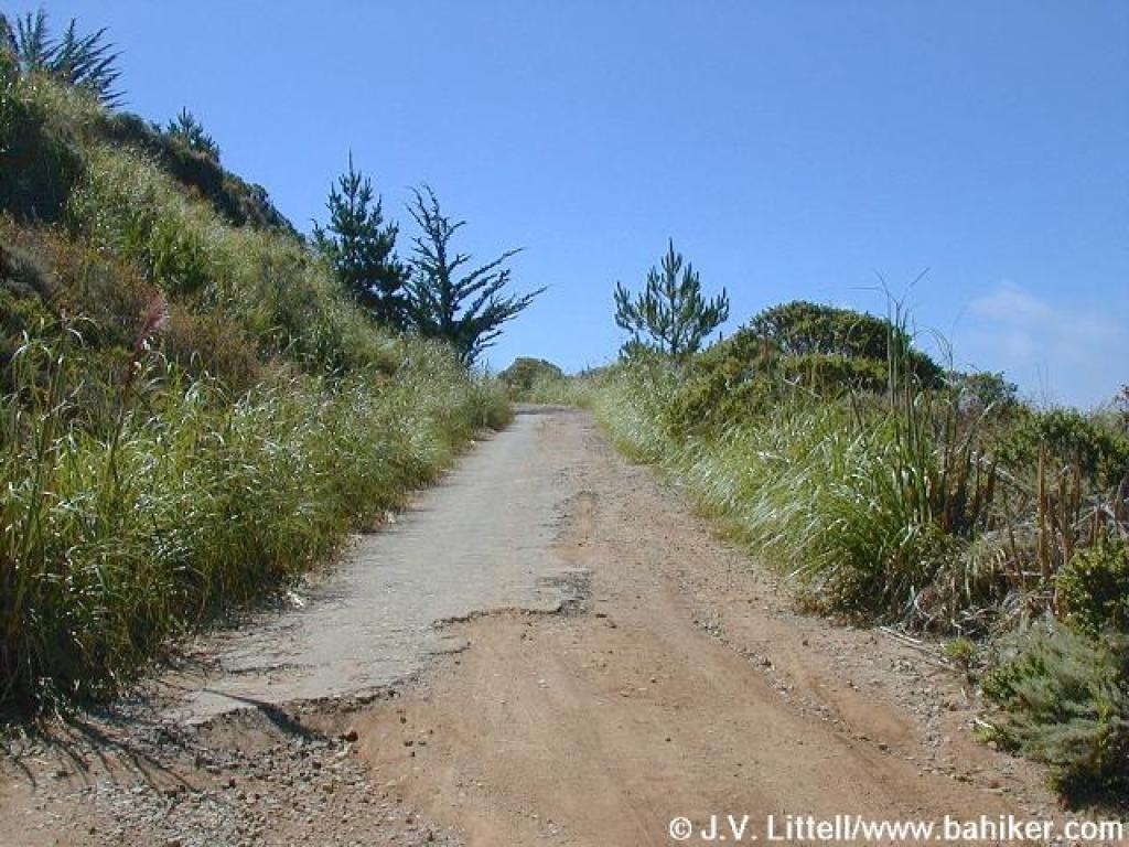
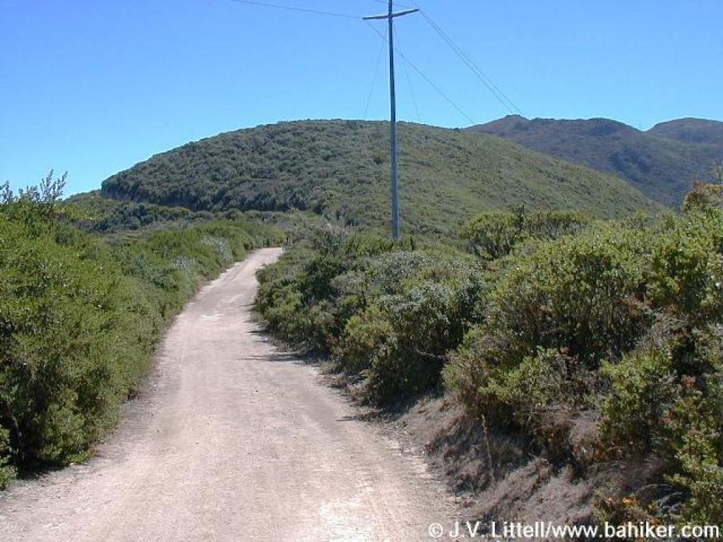
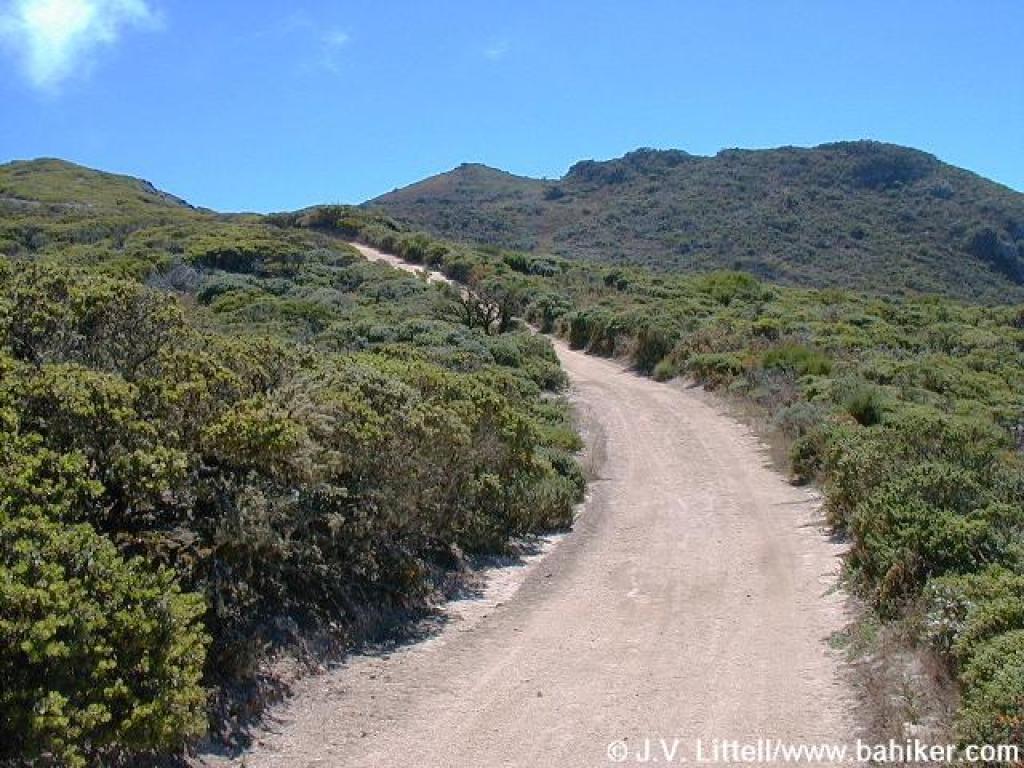
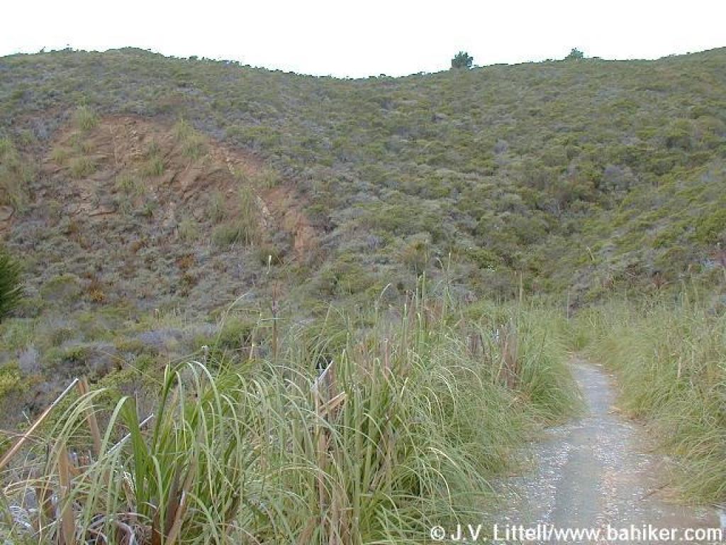
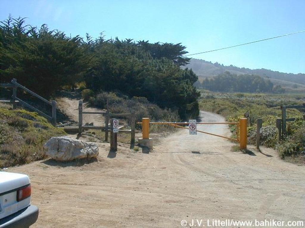 The fire road is your trail for the start of this hike |
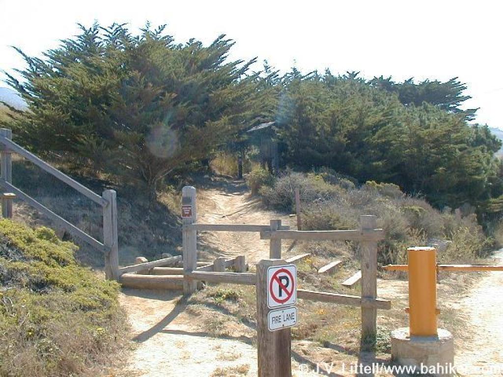 Information signboard is barely visible in the center of the photo |
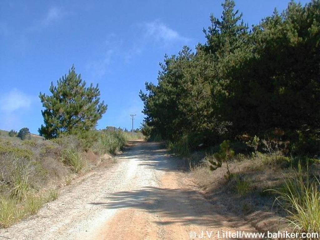
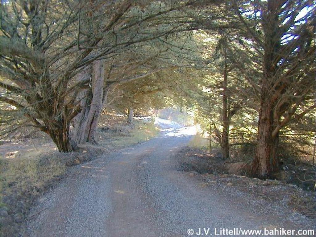 Under cypress |
||||
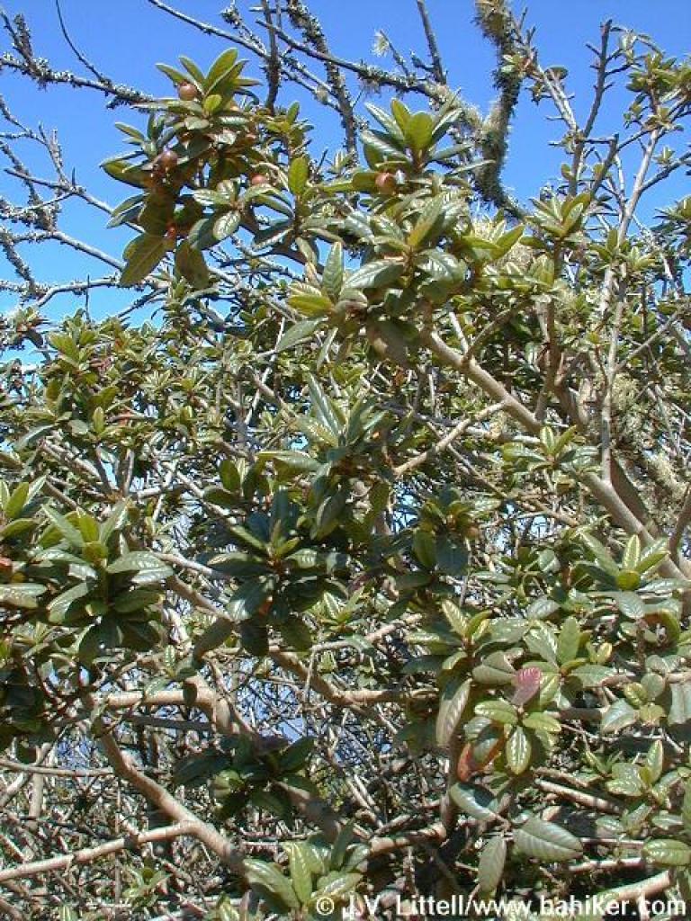
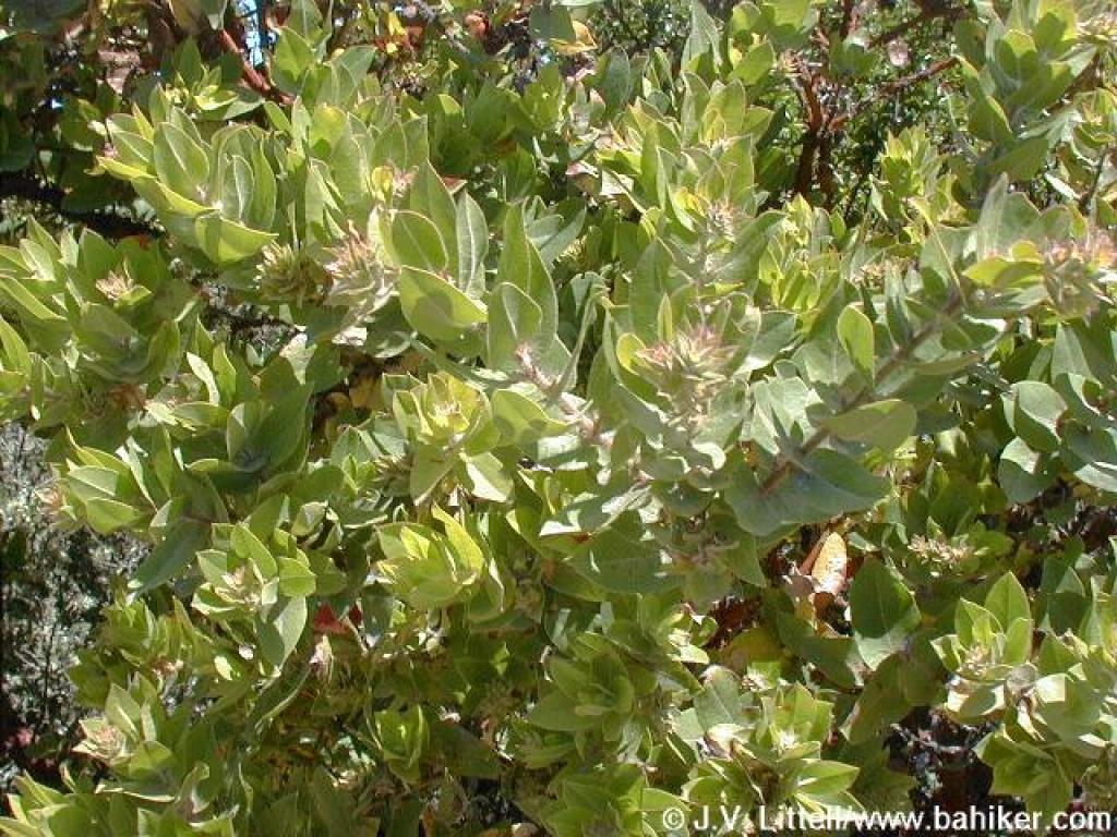
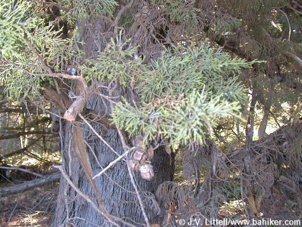 Cypress |
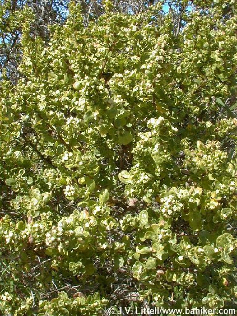
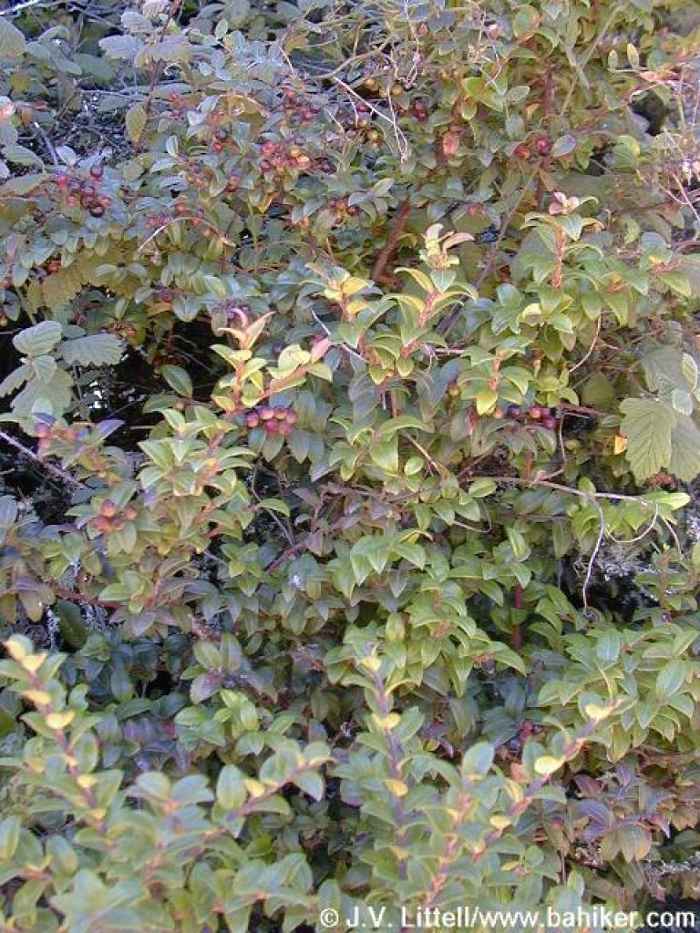
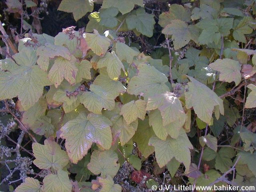
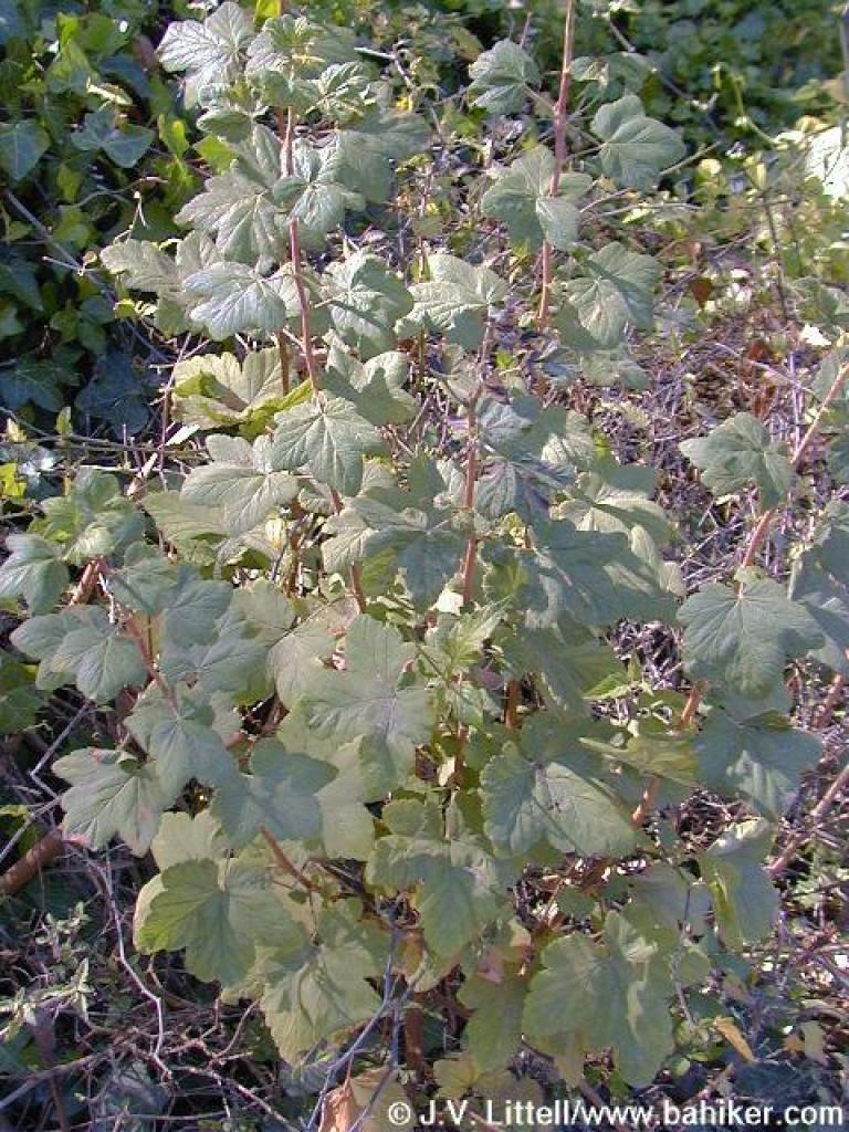 Currant |
 Junction in front of the ranger's residence. Bear right here. |
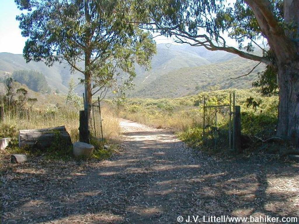 Start of North Peak Access Road |
||||
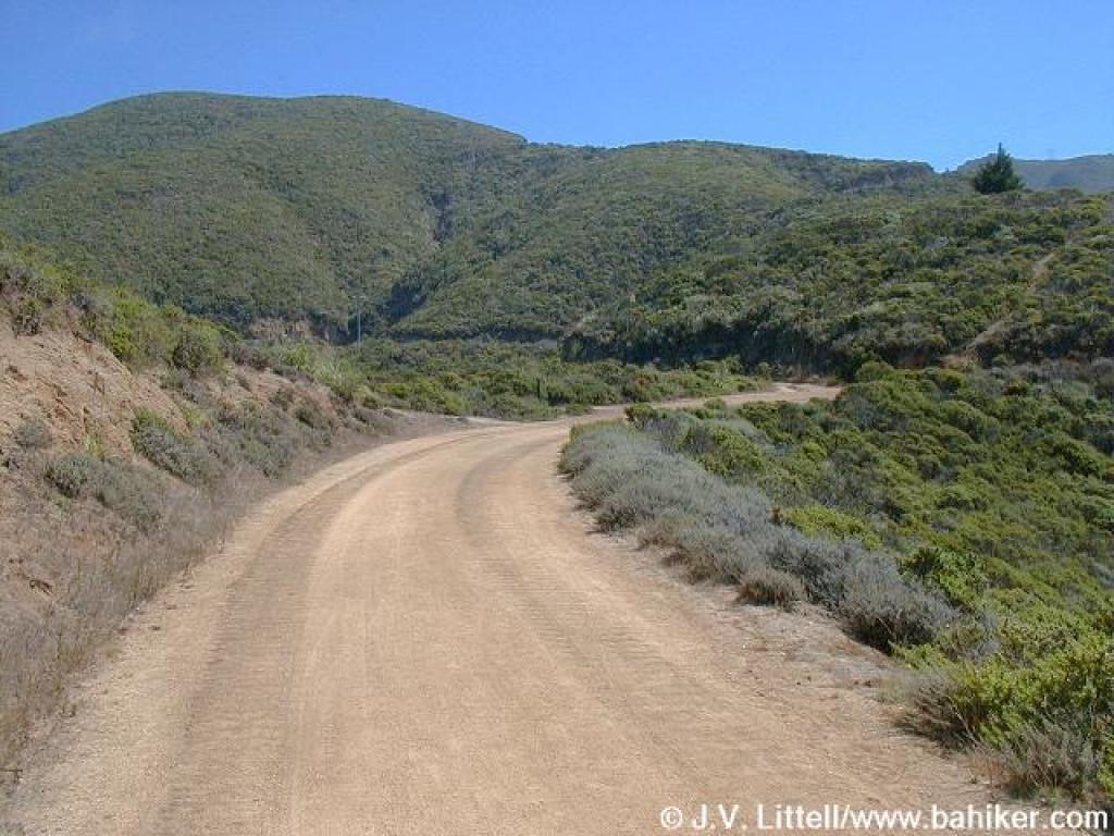
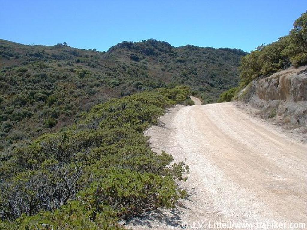
 First beautiful views of the mountains |
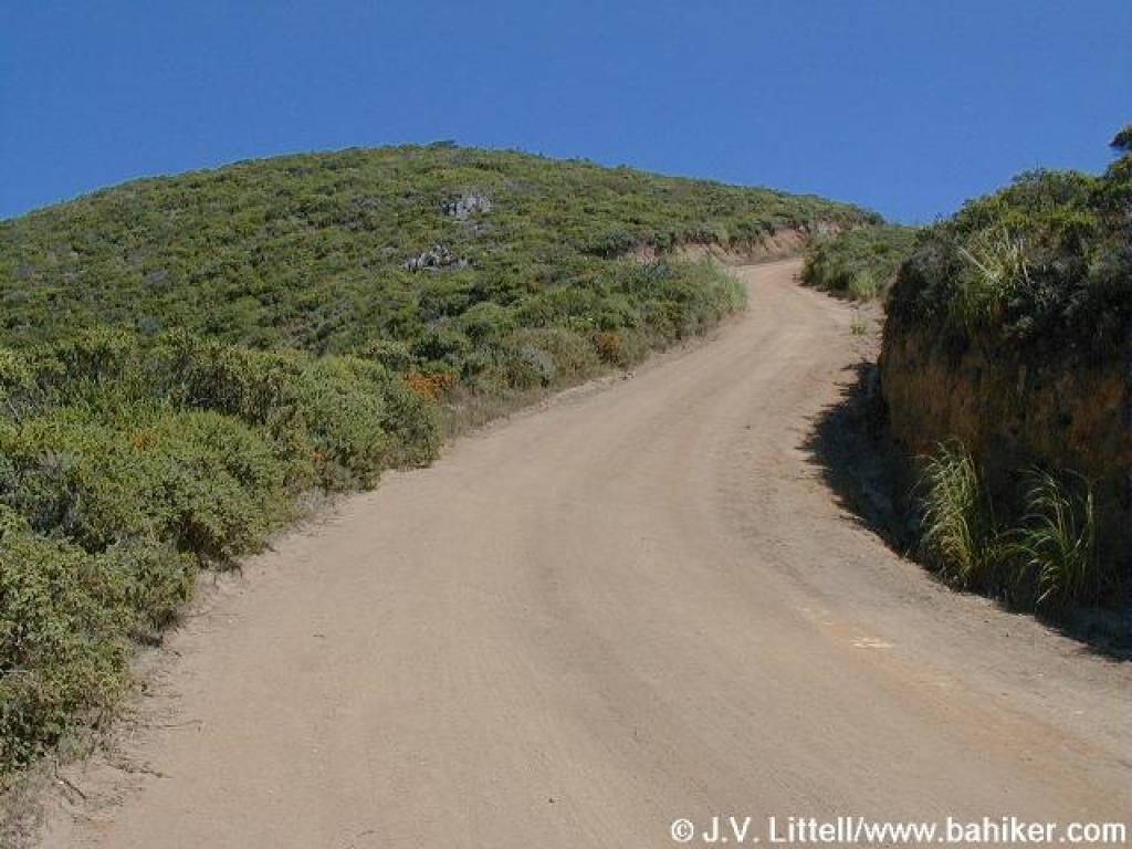
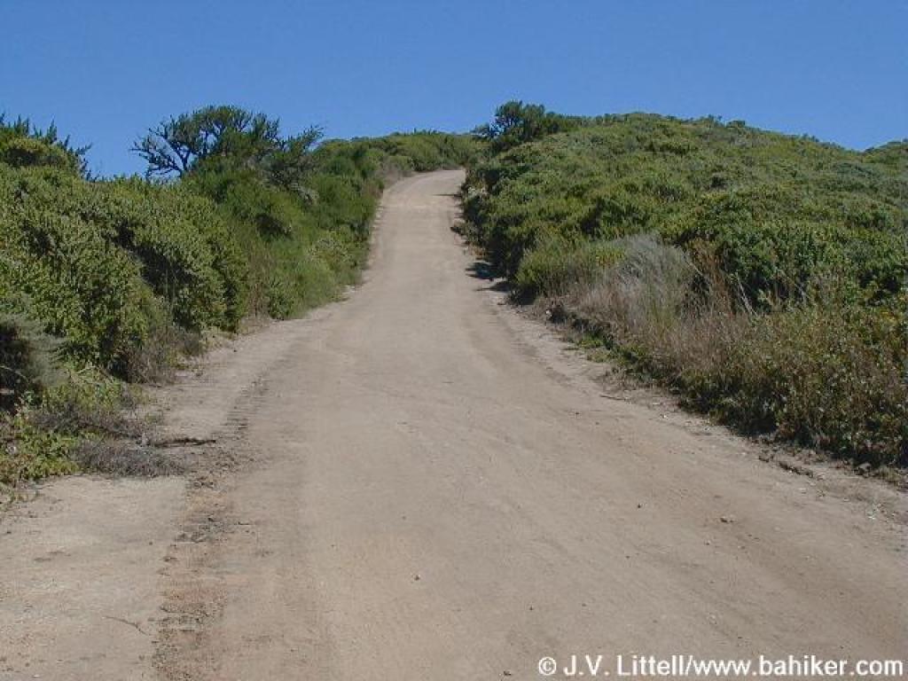
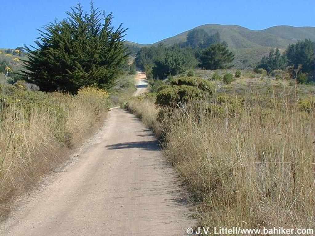 The fire road is steep. Get used to it. The whole hike is steep. |
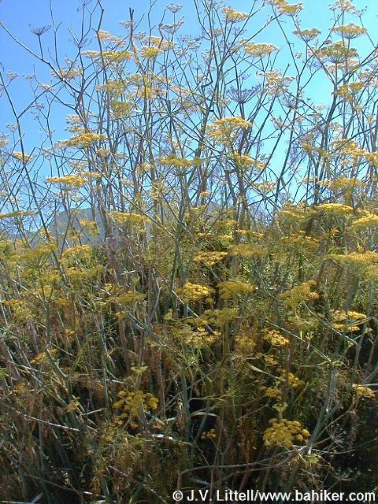 Fennel |
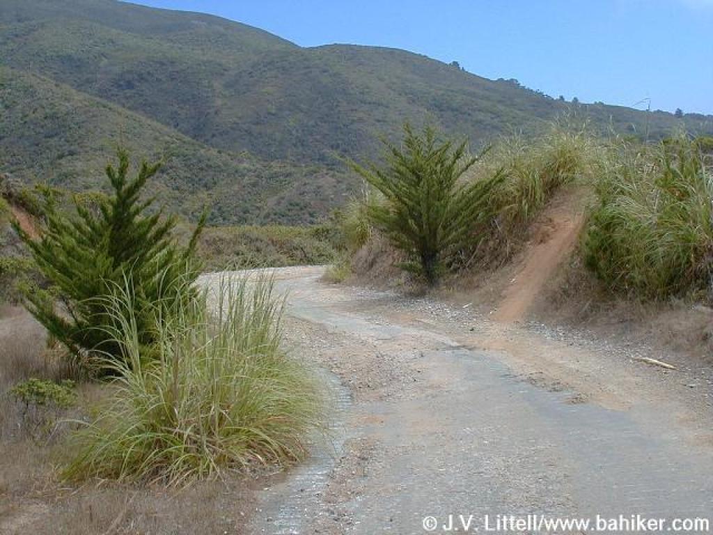
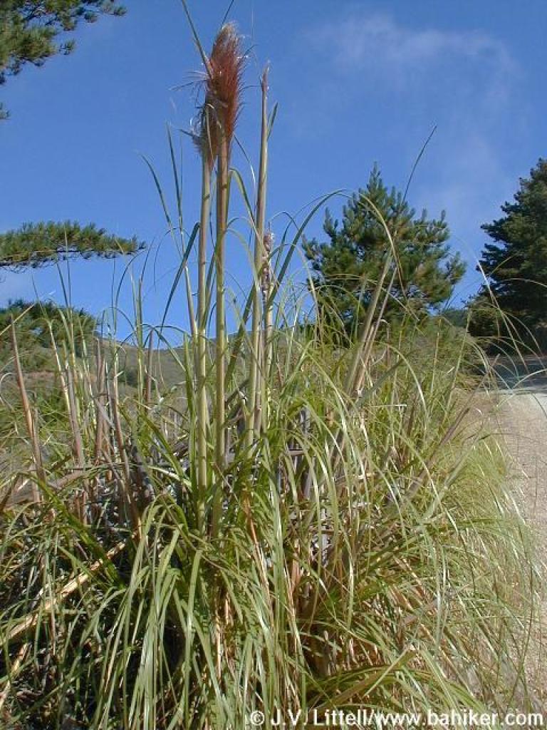 Pampas grass |
||||
 Shade feels nice on a hot day |
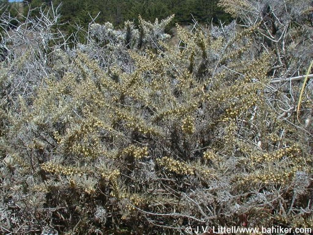 Sagebrush |
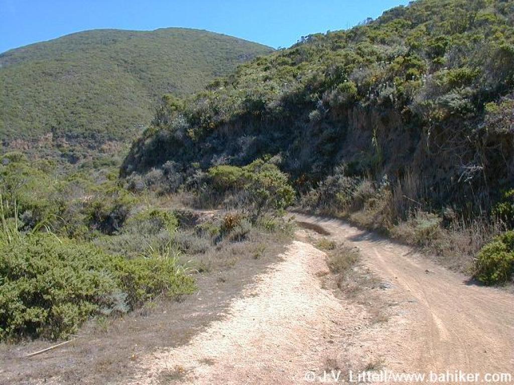
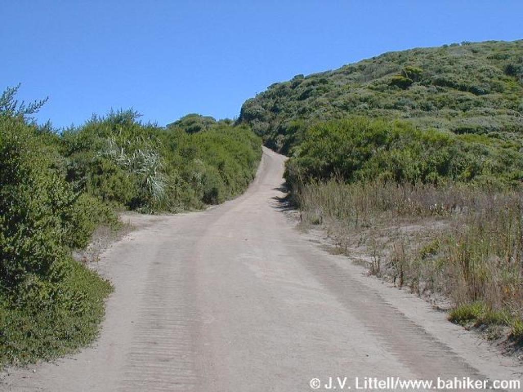
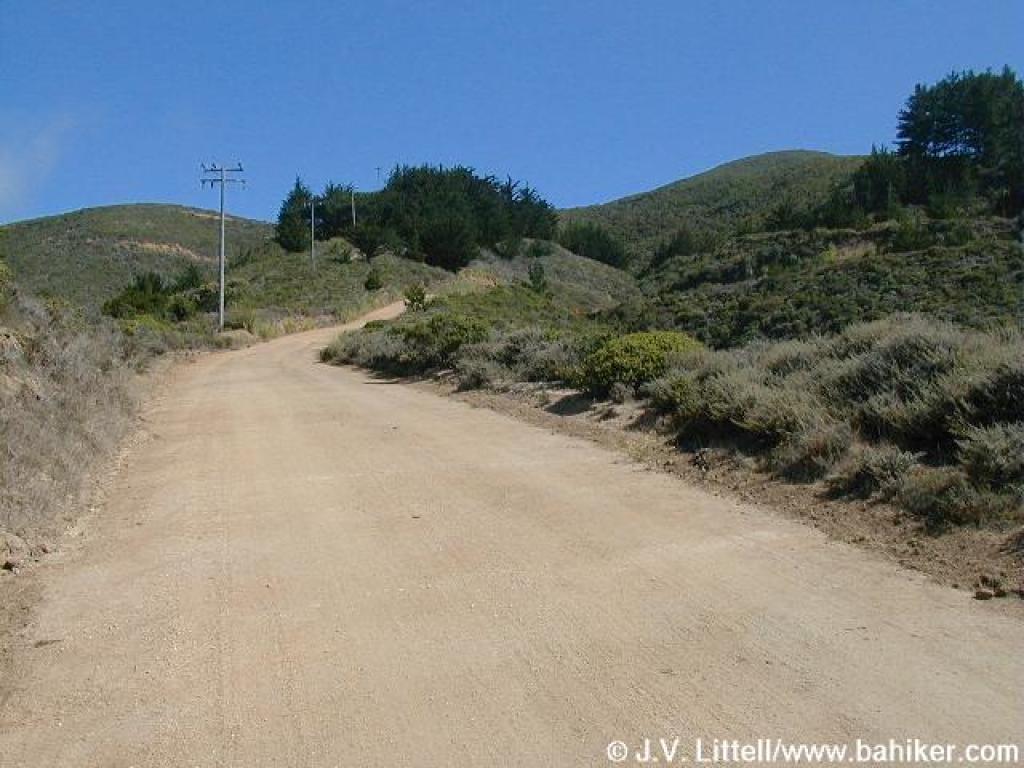 Almost to next junction |
 Unmarked junction with Old Pedro Mountain Road |
||||
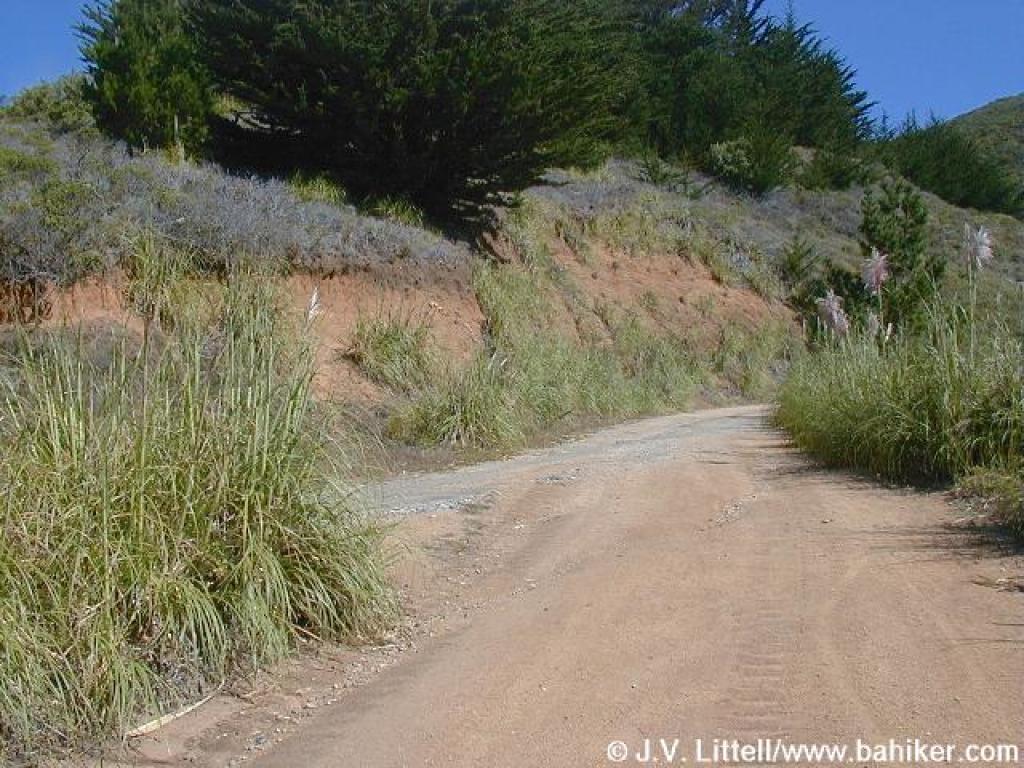
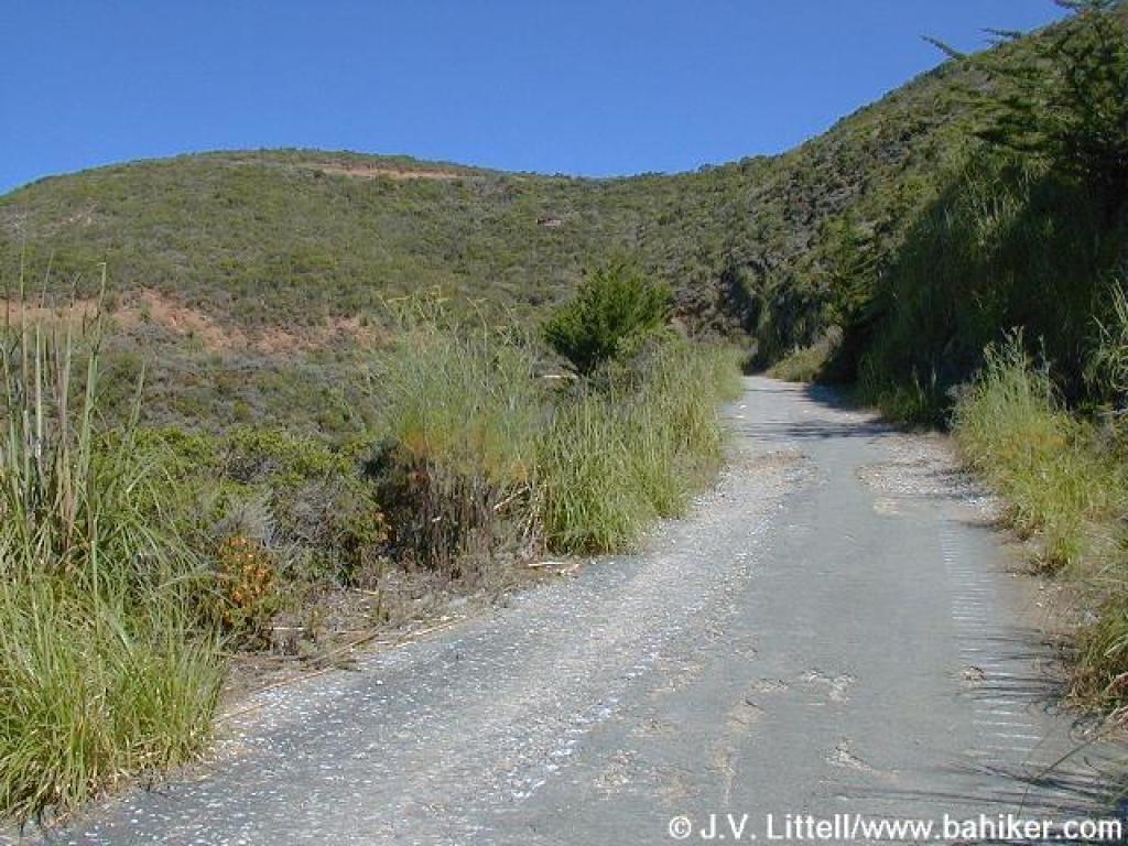
 Fire road is occasionally paved for a while |
 Coyote brush |
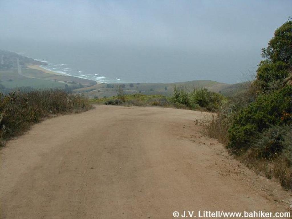
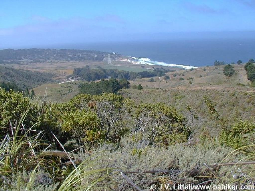 View to the ocean |
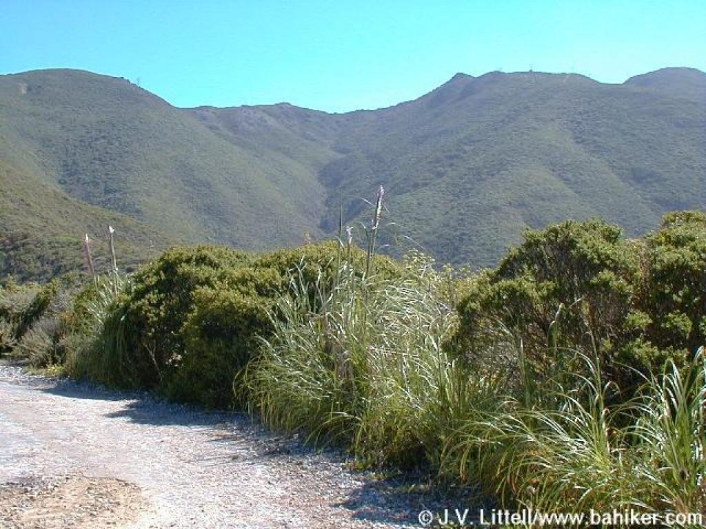 View uphill to the peaks |
||||
 Path, not on the map, seems to be used mostly by cyclists |
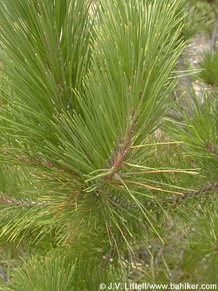 Monterey pine |
 California coffeeberry |
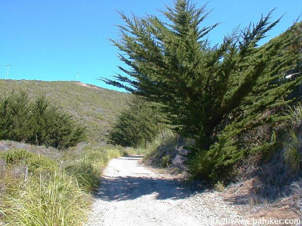 A few cypresses provide shade |
||||
 Cotoneaster |
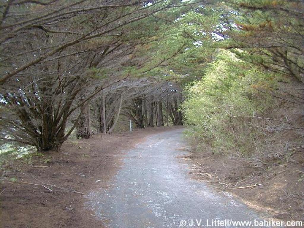
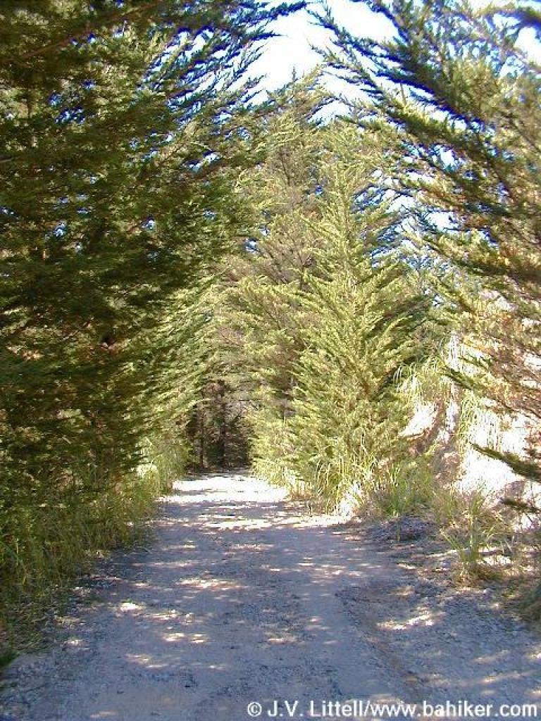 Tunnel of trees |
 Entering drier chaparral |
 Junction with path |
||||
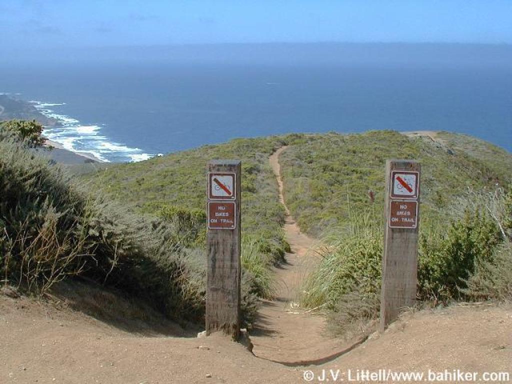 This path, not on the map, connects with Gray Whale Cove Trail |
 North toward Devil's Slide |
 Bike path shortcut |
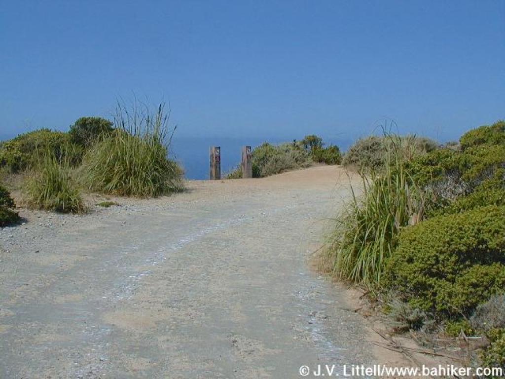
 Junction visible to the left |
||||
 Start of the steepest section |
 Old Pedro Mountain Road heads north |
|
 The climbing is relentless |
||||
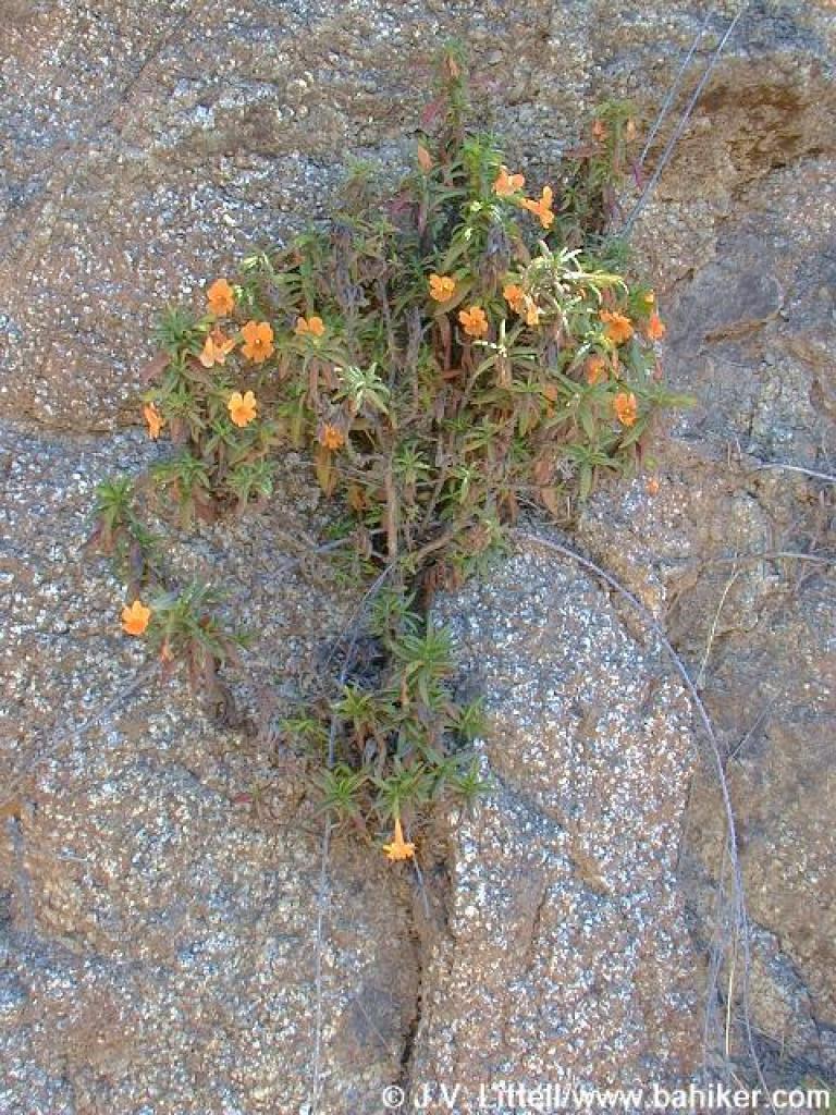 Monkeyflower growing out of granite |
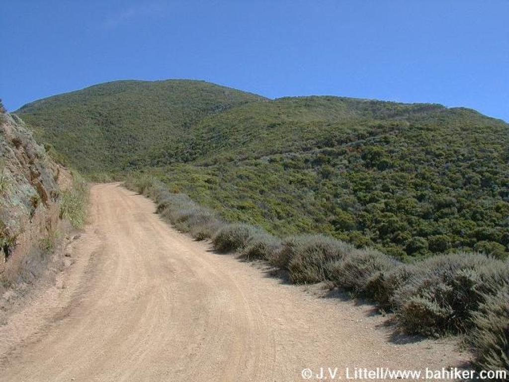
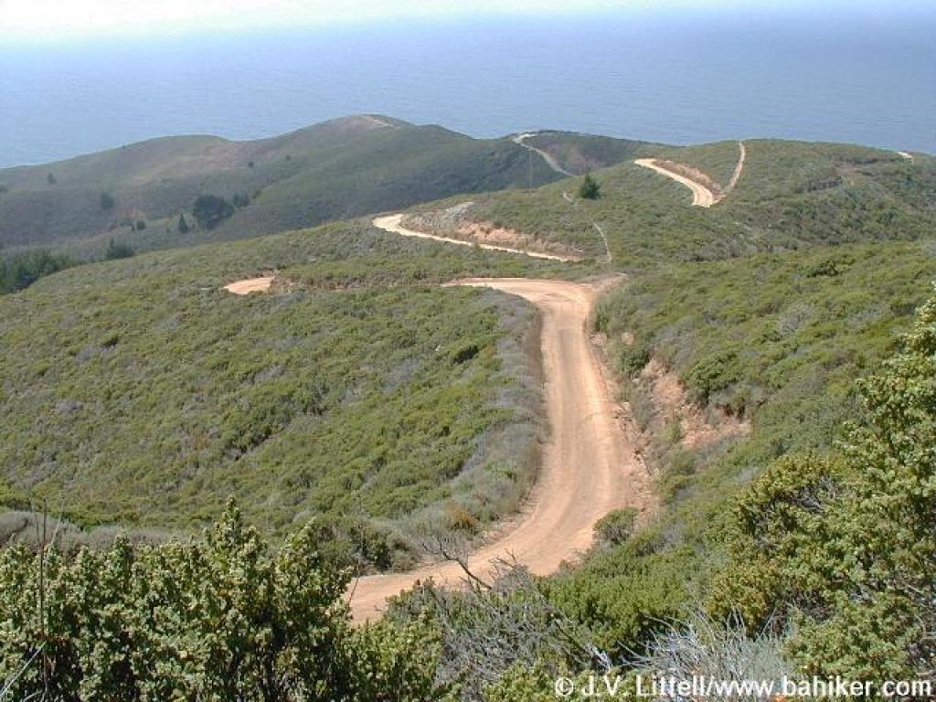
 North Peak Access Road |
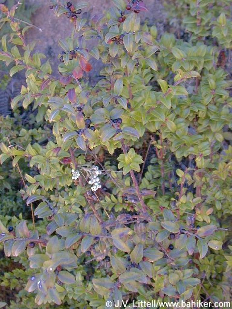
 California coffeeberry |
 View to Martini (?) Creek |
||||
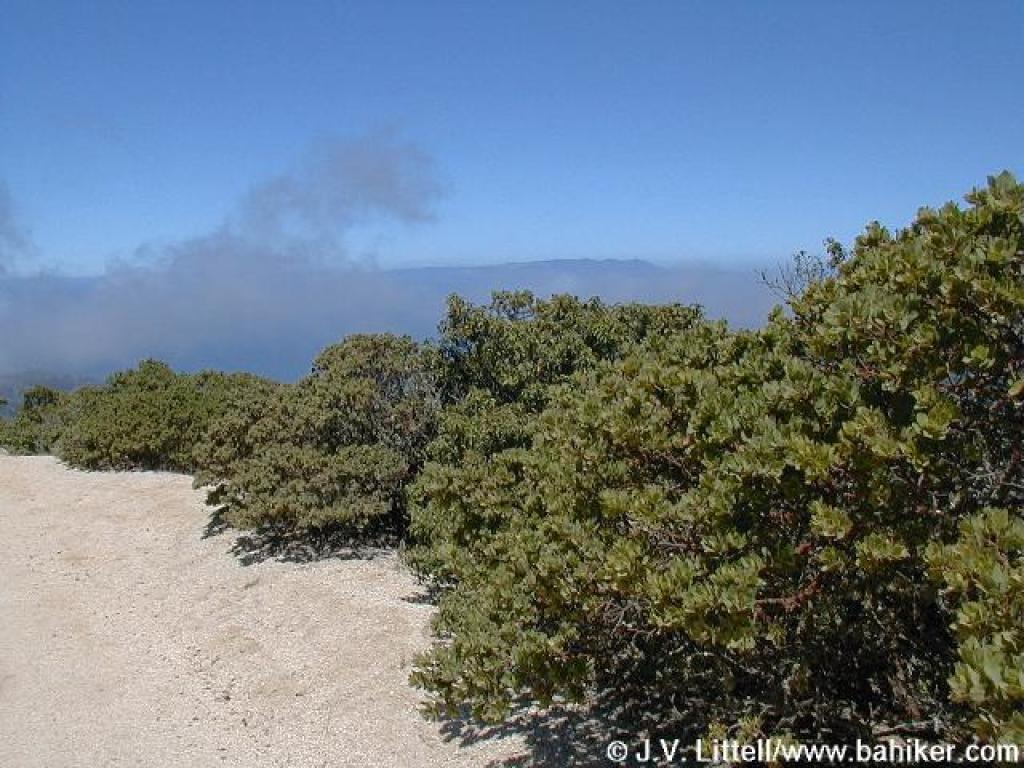
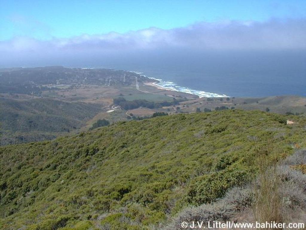 The fog is rolling in, but Half Moon Bay can be seen from this elevation |
 Last stretch of the steep stuff |
 Once you reach the ridge, the climbing is easier |
 Path cuts off on the left side of the fire road |
||||
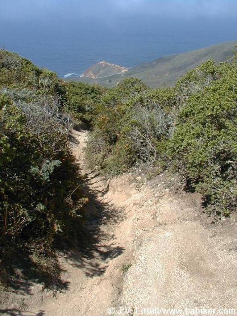 Path |
 View to San Pedro Mountain |
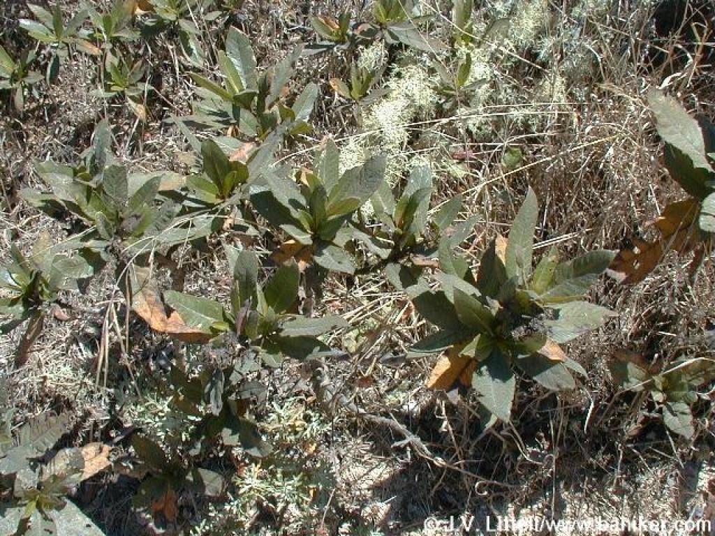
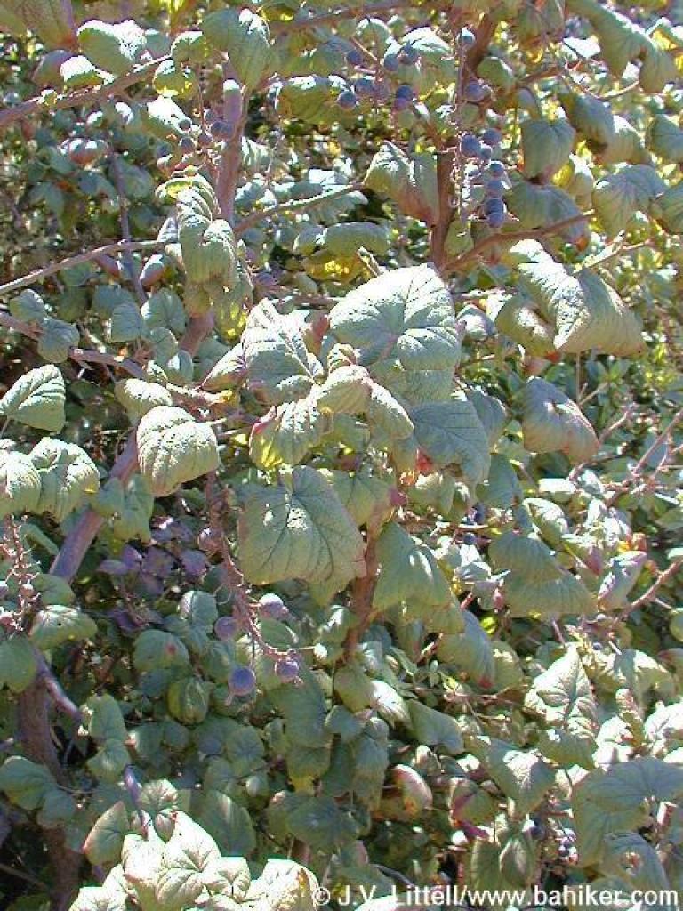
 Currant |
 Creambush with Mount Tam in the background |
||||
 Grade picks up a bit |
 Manzanita |
 Huckleberry |
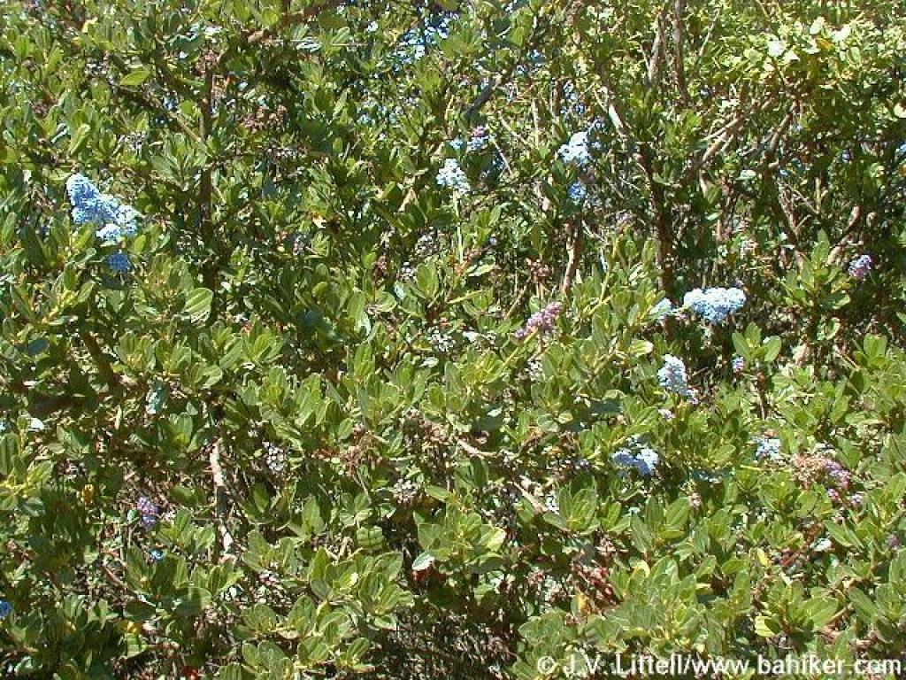 Ceanothus |
||||
 Junction with Montara Mountain Trail (thank San Mateo County for the sign) |
 Trailside is increasingly rocky |
 Chinquapin |
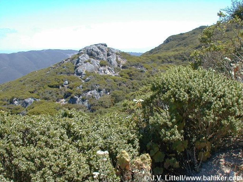 Rock formation off to the north |
||||
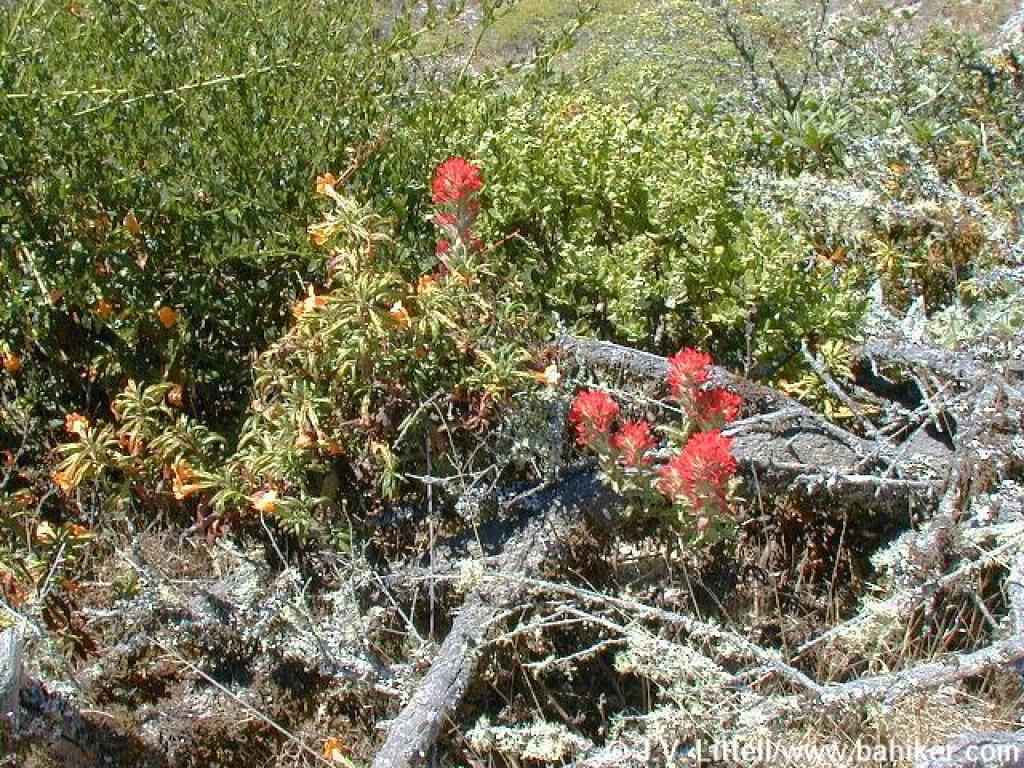 Paintbrush blooming (in August!) alongside monkeyflower |
 Another steep stretch |
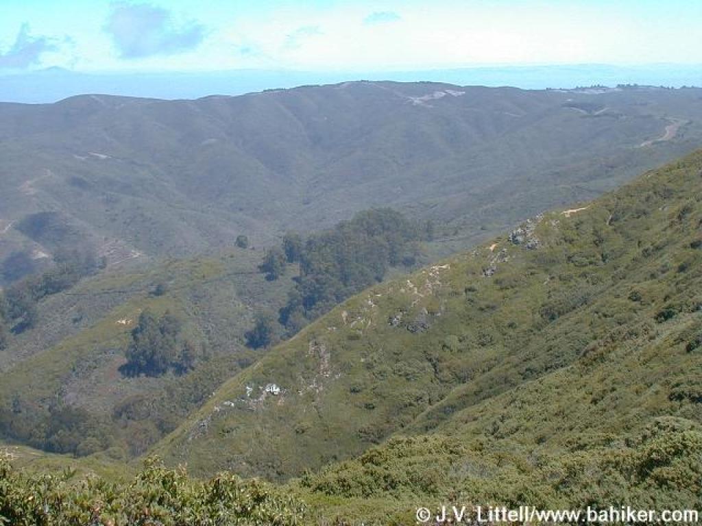 View east, with Diablo visible to the left |
 My turnaround point, right at the border with San Pedro Valley Park |
||||
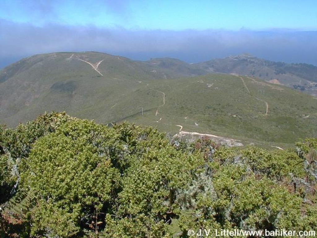
 Fog is rolling in |
 Yerba santa |
 Silktassel |
 Huckleberry |
||||
 Thimbleberry |
 Currant |
 Fog starting to drift up and obscure the views |
 Returning, the downhill is a pleasant sight |
||||
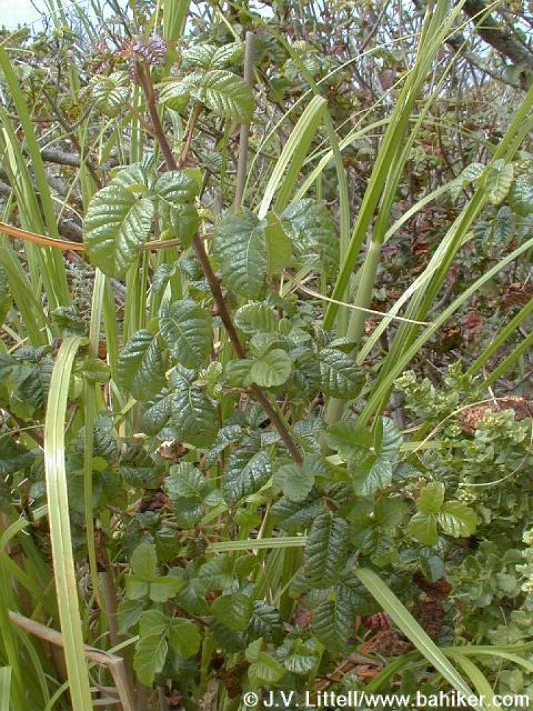 Poison oak |
 Another bike cut |
 Rock |
 Junction with Old Pedro Mountain Road |
||||
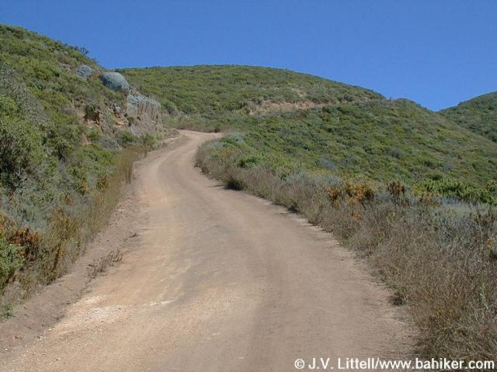
 Gently descending |
 Another nice rock is exposed off the trail |
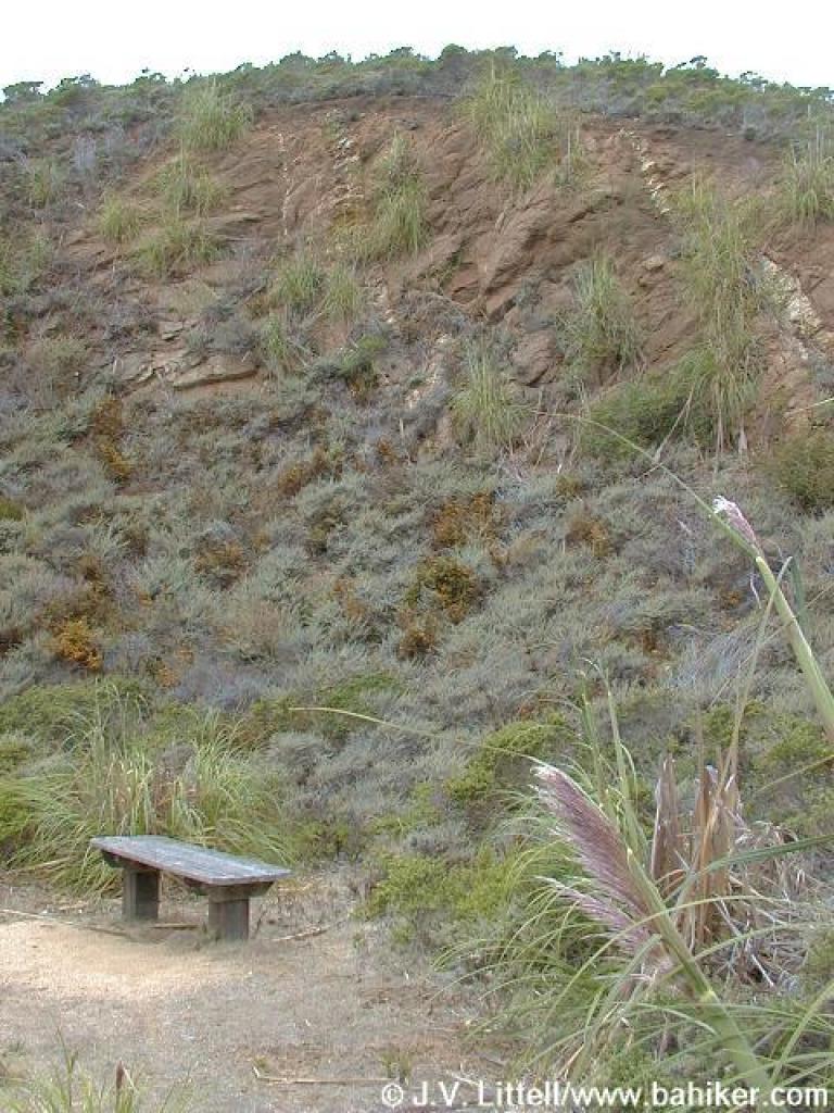 Rock and bench |
 Pampas grass |
||||
 Cypress |
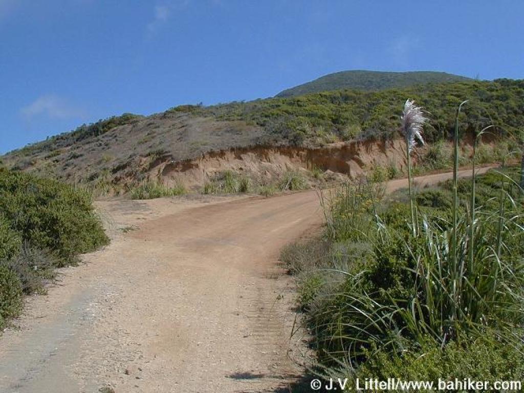
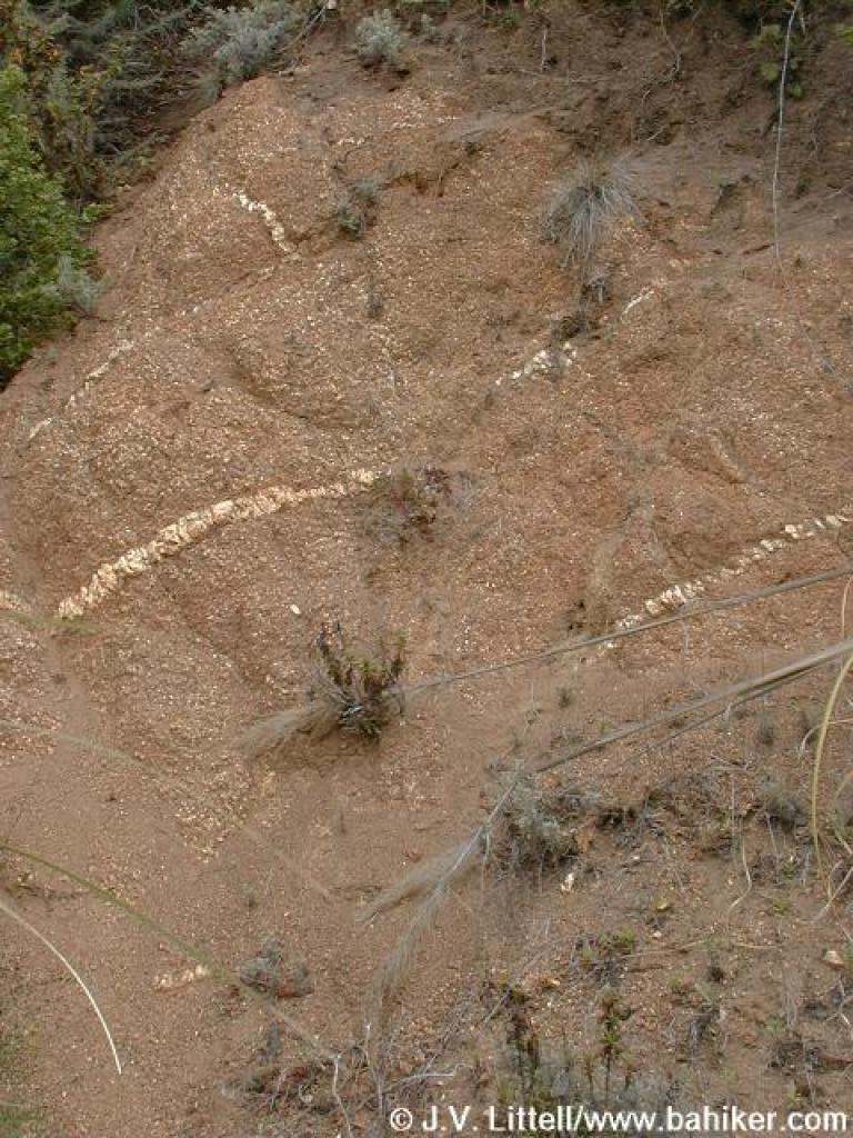
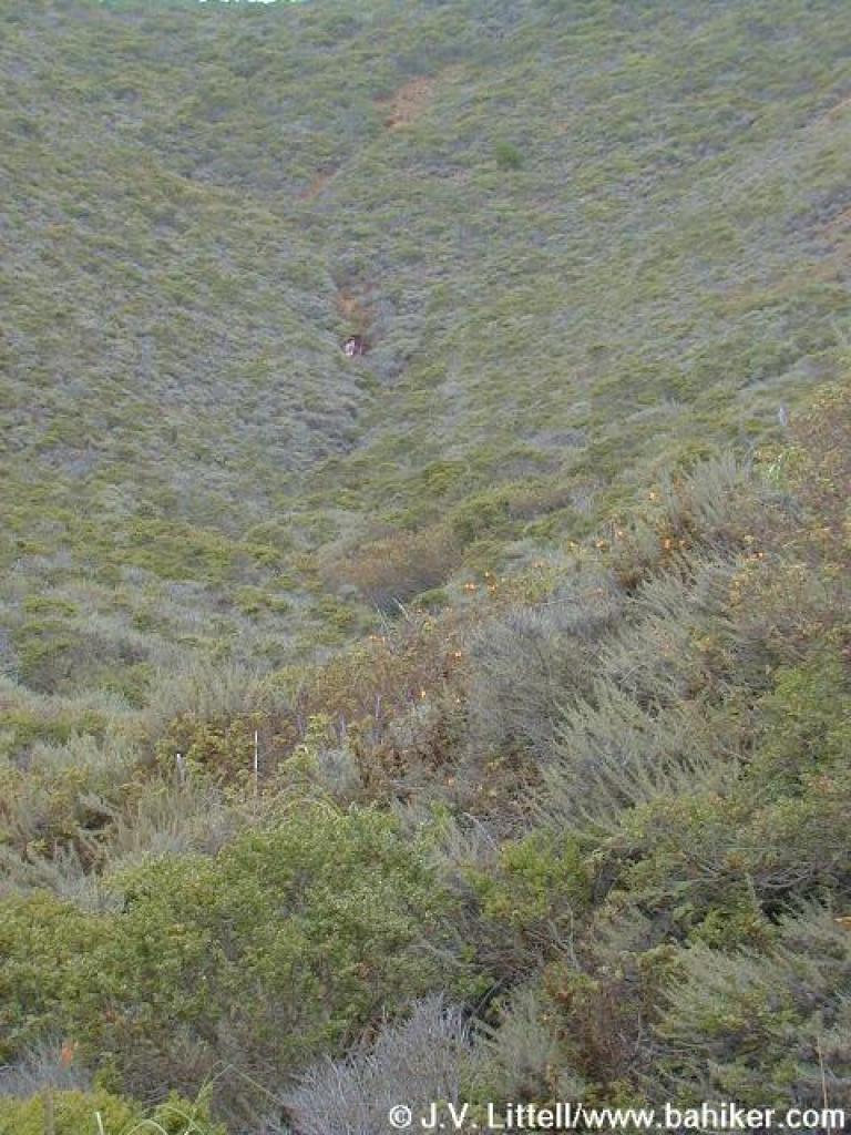
 Slide area |
 Another crashed car |
 Tons of poison oak through here |
||||
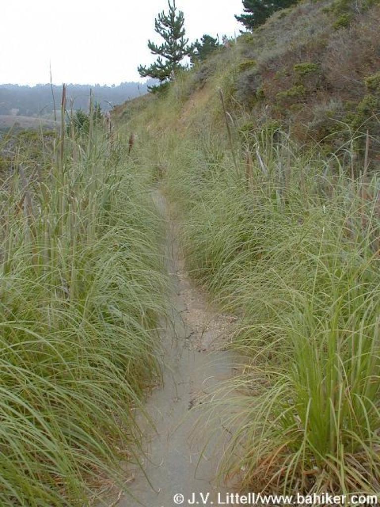 Choked with grass |
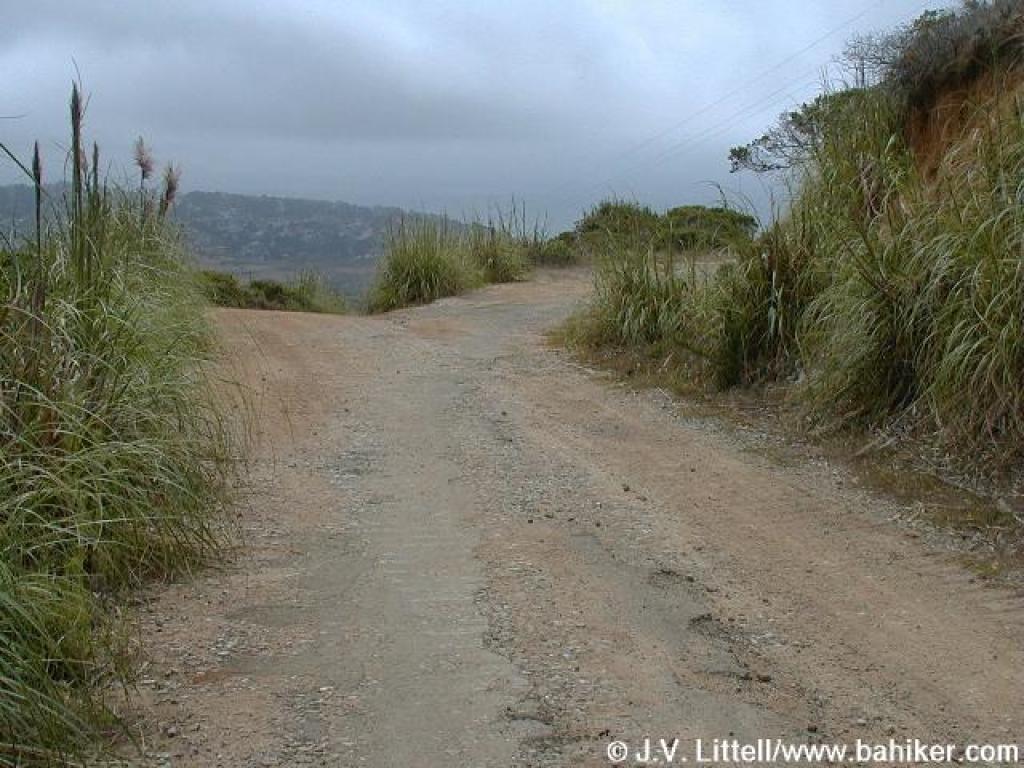
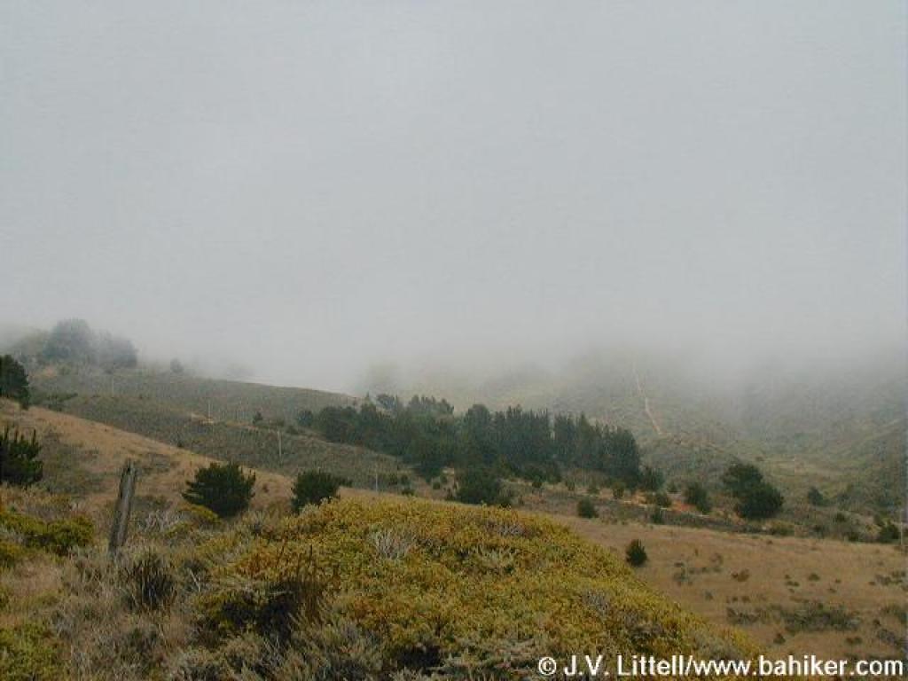 Last look uphill, the fog has obscured everything above 300 feet |
 Junction with path to Gray Whale Cove Trail |
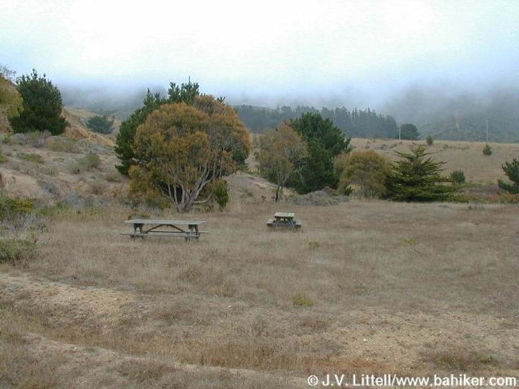 Picnic area |
||||
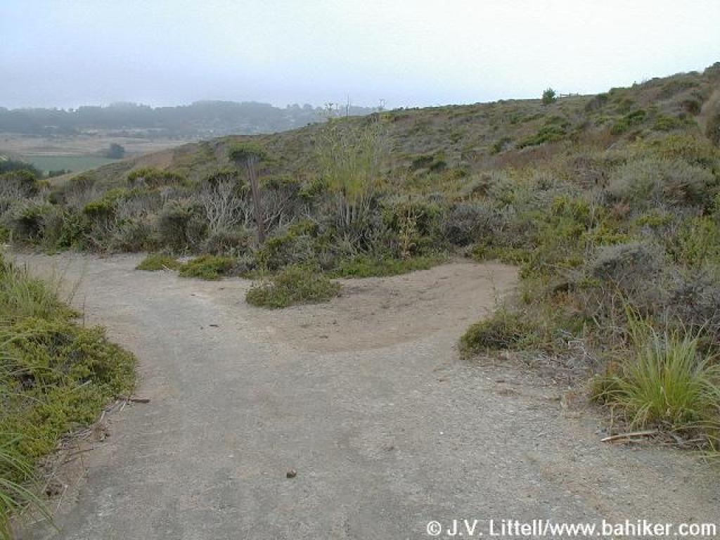
 Junction; turn left and return to the trailhead |
Go to Bay Area Hiker McNee Ranch page Go to Bay Area Hiker Home Page |
||||||
